Feature Request - Base Location Height

Hello everyone,

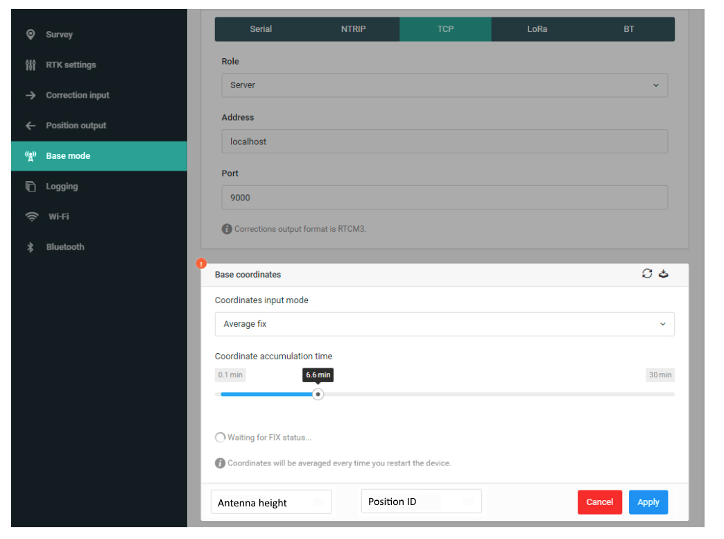
It would be great if in the base mode (when doing a single average, or float/fix if via a NTRIP server) we could enter the vertical distance off the point that it has been setup over the top of. This is not the same as setting it up over a known point, but rather to make the arbitrary point known for future use, and do this all from within the GUI/app when setting up the point right at the first setup/installation.

This would ideally allow us to export a base mode CSV (or something similar) that told us both the height of the antenna, and the height above a point. This would just make it easier when setting up a site, rather than having to take photos of the tape measure or record on a piece of paper the measurement to be adjusted latter.

In addition, a list of these known locations could be stored in a searchable format so that if you setup near the same point, it presents you with a list of close points and the approx distance where we could then select the point from the list and type in the measurement from the ground/point to the GNSS antenna plane.

There is another whole thread of thought about being able to upload known points (a network of PSMs at a national, state, or localised area) and being able to select one of them from the list using a similar function/feature. This would just ease the possibility of typing in the incorrect location while in the field (which I have done many times).

Hi @ashley.walker,

From my point of view, it’s impossible to

Can you clarify, please, what do you mean by “future use”?

Hey Andrew,

Ok for clarity, we will say that we have 2 site visits, Visit 1, Visit 2.

On Visit 1 (lets say on a Monday) hammer into the ground a survey mark/peg or we find a defined feature that already exists (like a nail or dynabolt in the concrete). We then setup the tripod, tri-brach, and Emlid (Base) over the point. When we turn on the Emlid, we usually take a measurement with a tape measure from the base of the emlid, to the mark on the ground (since we know the base to antenna measurement). We usually take a photo of the measurement, or scribble it down onto our pad. This measurement, we want to enter into the Emlid Base straight away. This could be exported as a simple csv with the following fields:

Position ID, Latitude, Longitude, GNSS Antenna Elevation, Antenna to Ground Measurement
D1058/23, 25.890724, -80.3540215, 235.850, 1.785

This is a single (or dual) data entry on the same screen for the current base coordinates, something like this:

This position info should be saved to some sort of internal database (or JSON/XML/CSV) that can then be used when we come to the site for Visit 2. In between we have done a number of other jobs and have a ton of other data on both the rover and base. The drop down that we can select how we want to have choose the base coordinates would now have a new option(s):

  • Average fix
  • Average float
  • Average single
  • Manual
  • List Select
  • Choose Location

List select would then be a list of points that have been saved into the internal database. Choose location would be similar/same as point stake out on a map that you can select and use.
Manual entry would allow us to save the location for future use to the internal database.

So Visit 2 (this might be on a Wednesday the next week) we would arrive onsite, find the same survey mark/peg or defined feature that already exists and setup the tripod, tri-brach, and Emlid (base) over the same location. This time we measure the ground to the base again, and after starting the Emlid, we choose either List Select, or Choose Location so we don’t need to type in the positional information, saving time, and possible mistakes for manual data entry.

If we were able to upload a CSV/JSON/XML to the emlid base that holds the network of known locations (similar to the stakeout function that can be used on the rover). This would just make it really fast to setup, minimising errors.

1 Like

Just a comment on the feature request:

You don’t really want antenna height from Visit 1 to be pulled up later for Visit 2, do you? Each time you set up a tripod it is going to be at a different height. Suggesting to use the same height again could make for trouble.

Exceptions are for people who use the tripod/bipod to stabilize a fixed-length rover pole, and for cases when the GNSS receiver is placed directly on the location (5/8" bolt embedded in concrete, etc.)

Maybe another field could be added with a “self-created” drop-down list of mounting types:

height mounting type adapter height
0m height not measured (default setting) none
2m my blue fixed-length pole 21.5mm
1.3m extendable pole #8 fully collapsed 21.5mm
variable extendable pole #8 21.5mm
2.6m extendable pole #8 fully extended 21.5mm
1.105m magnetic mount on the roof of my Lamborghini Diablo 145mm
0m directly mounted to point none
1.4m a crooked wooden stick that I used one day after I backed over my rover pole none
variable tribrach on tripod 21.5mm
variable balancing on a fencepost hoping the wind doesn’t blow it off none
- add new mount type… -
2 Likes

Hey Bide,

The example I gave doesn’t say that you would pull up the same height again, I say:

So Visit 2 … This time we measure the ground to the base again,

Ideally, it would (in the background) calculate the height of the mark/peg etc. because in the first instance you told it how high above the mark/peg the GNSS antenna is.

On that one, I would love to be able to define a bunch of custom heights above the measurement I am inputting for different mounting points. Like Bullbar, Good Pole, Backup Pole, Tribrach, etc. instead of the current offset.

But this is more about the base, not the rover which is where I would see those options as being more useful.

Right. Sorry, I must have been skimming, not properly reading.

Yes, I think it would be good to have some place to enter and recall the setup location details of base and rover. And you’re right, most of those examples I gave were applicable to the rover, but it made for a more complete and humourous list. The coding of such a feature would hopefully be reused for both the base setup and rover point collection.

Whether or not it includes a list of mounting types, I definitely like your idea of saving data about different base locations in the “app” for later recall and for downloading along with the survey (project) data.

Hi @ashley.walker and @bide,

Thanks for the detailed request and some interesting ideas :slightly_smiling_face:
We’ll have a workaround for this in the future.

3 Likes

This time we measure the ground to the base again, and after starting the Emlid, we choose either List Select, or Choose Location so we don’t need to type in the positional information, saving time, and possible mistakes for manual data entry.

I was thinking the same thing. Let’s say I place my base on a know point (Point A), and collect the Point B. When I replace the base from Point A to Point B, I have to manually input the coordinates, again. It would be easier to pick the data from a drop down menu. Hey @andrew.yushkevich, any news regarding this request?

1 Like

That would be a very usefull drop down if I move from a different known location to the next . Any news on this?

1 Like

At the moment I can’t provide you with any new info on this functionality.

This topic was automatically closed 100 days after the last reply. New replies are no longer allowed.

Continuing the discussion from Feature Request - Base Location Height:

Hello, the drop down list feature would be nice if you could have a list of known points so that when you come back to them you could just select them instead of entering them manually every time . Any thoughts…

1 Like

I strongly support this idea of being able to save the known points and somehow reuse them. It would make it so much easier to set up. Sometimes it would even be on the first trip to a site. In such a case, having the option to upload a point or list of points would be great. I could upload a list with all the property points and just decide on sites where to set up.
For farmers who might have five or six fields with bolts fastened to a fence post it would be very valuable to just choose the point with the field name. The same could apply to construction workers.
The list could sort itself by the point nearest to the current single solution position.
I’ve ranted about this elsewhere so please bear with me.

5 Likes

Hi @davehofer1993, @Brent_W,

Thanks for the suggestion and such a detailed explanation of why you need this!
It’s noted.

3 Likes