


Hey guys! Our users from Australia conducted a series of field experiments and developed a method to estimate crop plant density using UAV imagery. It’s an interesting project so we decided to share it with you!
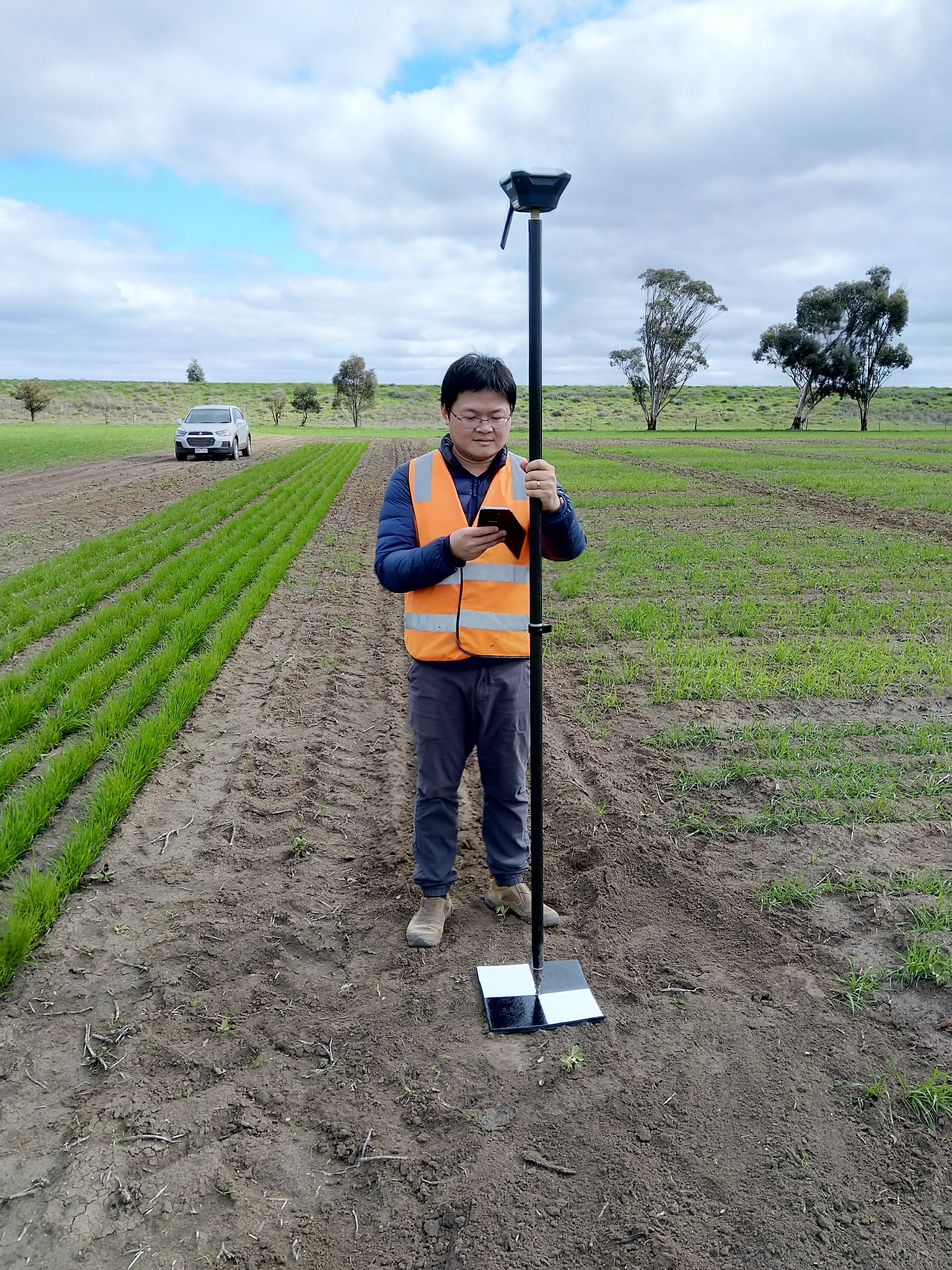
Group of scientists utilized Reach RS+ to place ground control points (GCPs) with sub-centimeter accuracy.
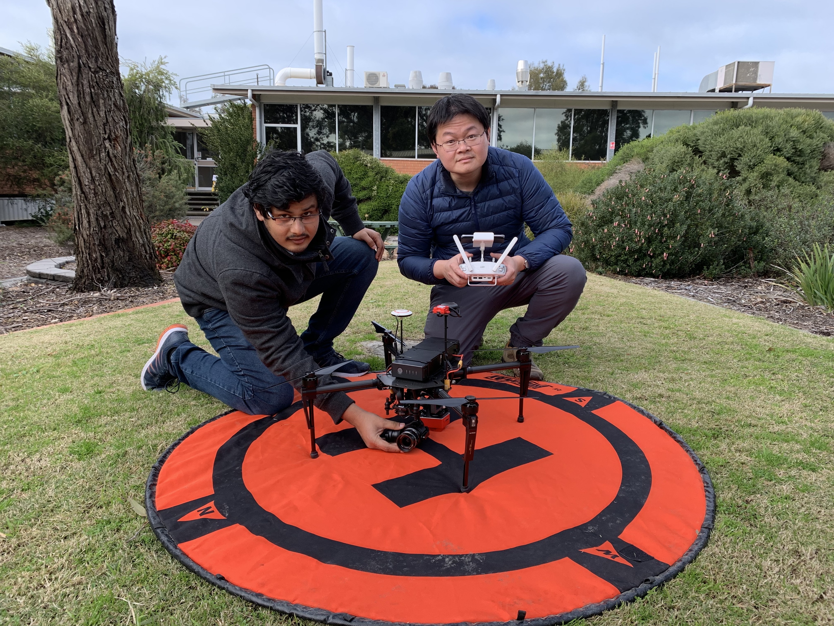
Images were taken with a 3DR Solo and then imported into Pix4D to generate an orthomosaic. A field map was created in ArcGIS to summarize the total number of safflower seedlings.
The accuracy of the method was evaluated by comparing plant counts obtained by manual counting to those estimated digitally. The model performed well and now can be used for plant density estimation across various crop species.
Read more about the research at: Estimation of crop plant density at early mixed growth stages using UAV imagery | Plant Methods | Full Text