i just started using ReachRS (Base Station, Rover standard Setup). Everything is fine, but i want to use it for finding points at a (my) cunstruction site. But since now ReachView only supports one EPSG-projection. Does anyone know if this will change anytime soon?
First. Congrats on your new tools
Second. You have the most important coordinates of them all. From here you can convert/transform it to any other format you like.
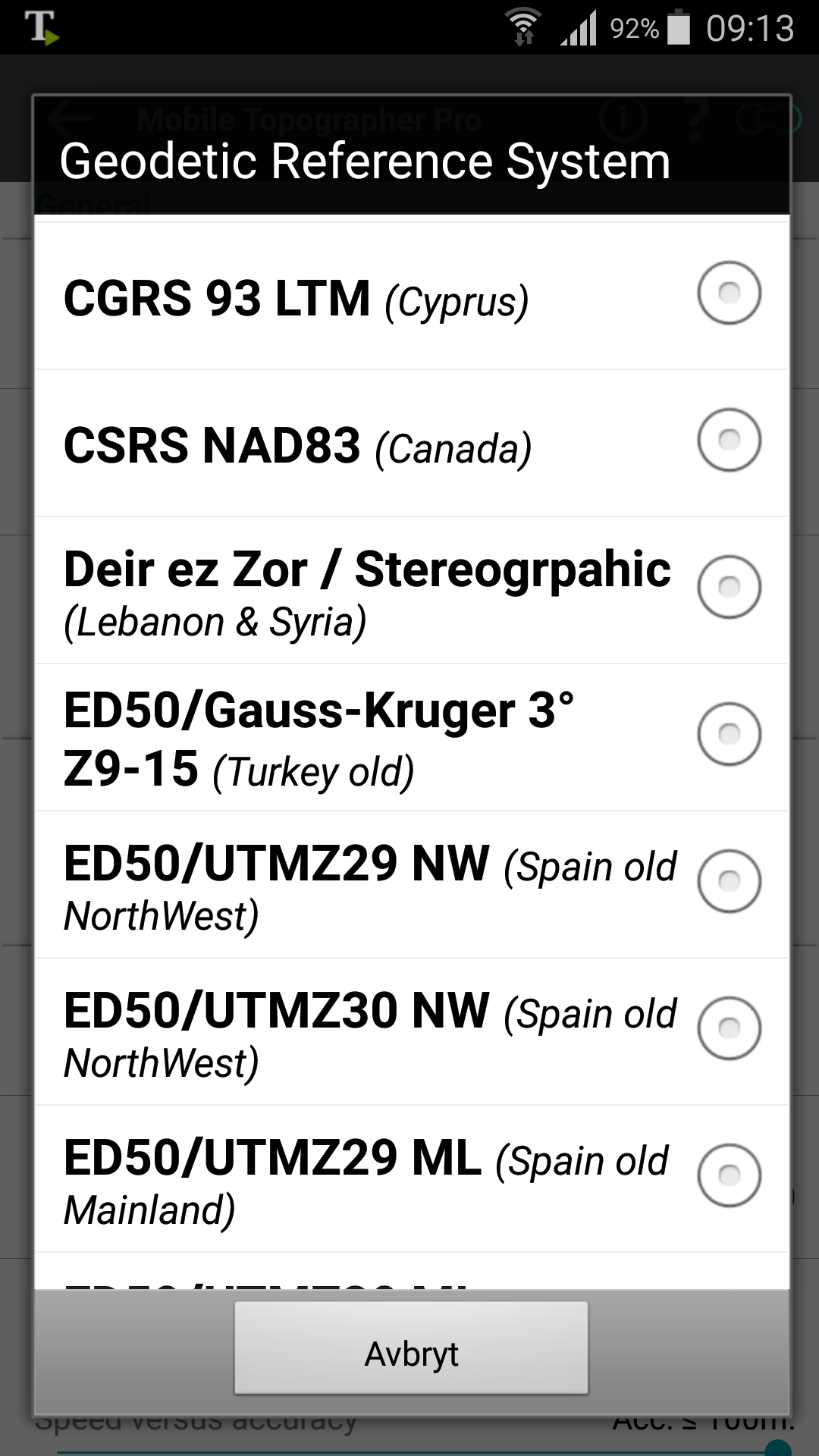
Third. What format are you looking for? UTM zones? Have you tried mobile topographer?
Thanks for the info. But iam here in Austria, and iyesterday i’ve made some measurements and found out that the height of my coordinates is too high (about 20-20 m). Here we use Gauß-Krüger-Coordinates. How could i achieve this with emlid alone, or should i go through NTRIP-Mockup-Android and a mobile topographer?
The way to output it to your format is by app like topographer or fieldbook/field controller.
Reach output ellipsoid height, this need to be adjusted to the local vertical datum
Thanks a lot, Iam now working with Mobile Topographer Pro with GPS Mock Locations and iam very happy with it. The problem with the Height still persist, but is explained as a different form of projection. In Austria in my Area there is a difference of ~42meters, but if you have a fixed point, you can recalculate this value, as long as you aren’t going to far away from the fixed point.
You will only get semi accurat height from topogrpaher.
You also may need to switch/enable height adjustments if you use lefebure bluetooth?
I get fairly accurat height with mobile topo. But rearly use it as i have accurate vertical datum that is calculated from Reach ellipsoide height.
I have a fixed point in the filed which has a defined height (Leica Snap on adapter). If i place my base station there which height should i tell ReachRS Ellipsoid height corrected (by our typical ~42m) or should i give him the actual height (which is ellipsoid height minus 42m).
Currently i set the antenna height in Mobile Topographer to something about -70cm to get MSL-Height to my “real” height. Is this the right way to do it, or should i do this in PostProcessing?
If you know the ellipsoid height of fixed point, set this values under base setting - height and fill in offset height from fixed point which is distance from ground to reach.
In MTP you calculate how much offset from reach to bottom of pole (if you use that)
You could do this in RTK.
You need to know if ellispoide is above or below your geoid (+ or - value when you fill in height)