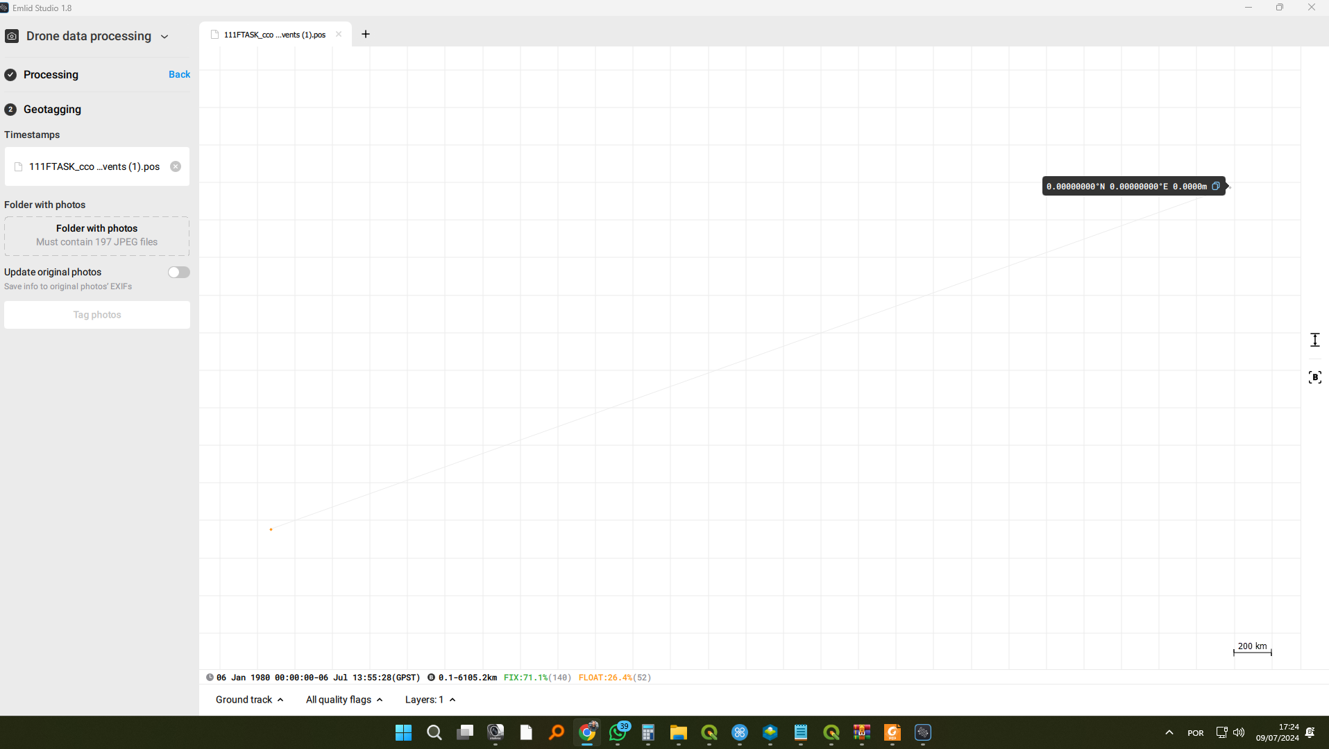
I am processing a survey with the Autel Evo II RTK V3 in the “Drone Data Processing” tab.
Furthermore, the MRK file has 192 records.
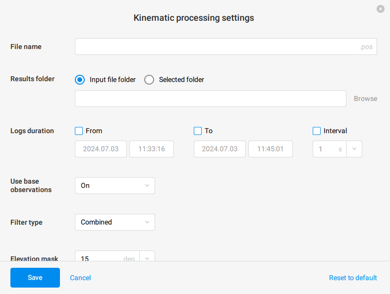
I had this problem just now. Try to use filter type combined, in kinematic processing settings.
Hi Mauricio,
Welcome to the community forum.
I would like to ask you to send the project files to our support email support@emlid.com , so we can try to reproduce and investigate your case.
1 Like
Hello.
I achieved.
I work with a file server.
So, I followed some guidelines and also saved all the files (GNSS and Photos) on my computer.
I processed it and it worked.
I think this will be my procedure from now on.
Thank you very much for your attention and help.
Hug!!!
1 Like
Thanks for the confirmation and for sharing your solution for the case if it could be helpful for another users in the future.
system
November 3, 2024, 9:00am
8
This topic was automatically closed 100 days after the last reply. New replies are no longer allowed.