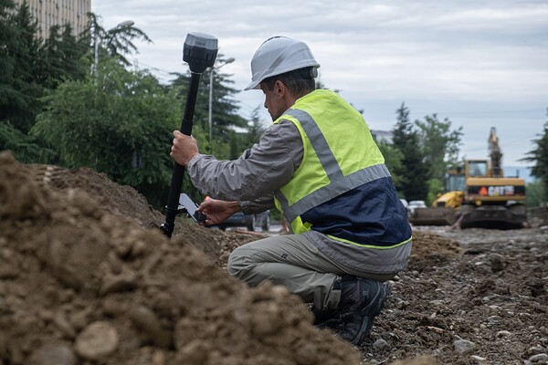
We’re continuing our discussion on Emlid Flow in action, with a focus today on its use in earthmoving operations. With Emlid Flow, you can effortlessly perform cut-and-fill jobs, shaping the terrain for construction with precision and ease.
Preparing indoors
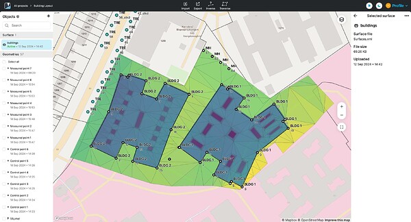
All preparations are completed in the cloud app Emlid Flow 360, which allows you to import your digital terrain models from CAD software in the LandXML format. The workflow is straightforward—create a project in a local coordinate system and import the necessary surface file. You can add several surface files one by one if needed—they shouldn’t exceed the 10 GB limit.
After uploading, check the surfaces on the map to make sure everything is mapped correctly and matches the original design. With the sync feature in your Emlid account, all the data will be transferred to Emlid Flow where you can effortlessly proceed with staking out surfaces and objects within them.
Staking out surface and objects within the surface
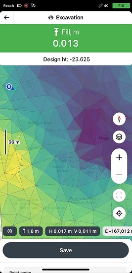
In Emlid Flow, you can easily access the surface you need and begin marking out the area for the earth-moving team or verifying that the work has been completed according to the design. Simply check the cut/fill values on the screen to ensure the elevation matches the plan.
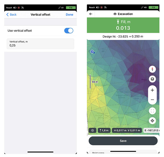
Additionally, you can set a temporary vertical offset in the survey settings by entering the desired value, allowing you to work with a single DTM file at different stages of the project.
Are you performing earthmoving operations? Have you had a chance to explore the Surfaces feature in Emlid Flow yet? We’d love to hear how you’re using it—share your experiences and use cases in the comments. If you need any assistance, drop us a message below or reach out to us at support@emlid.com.


