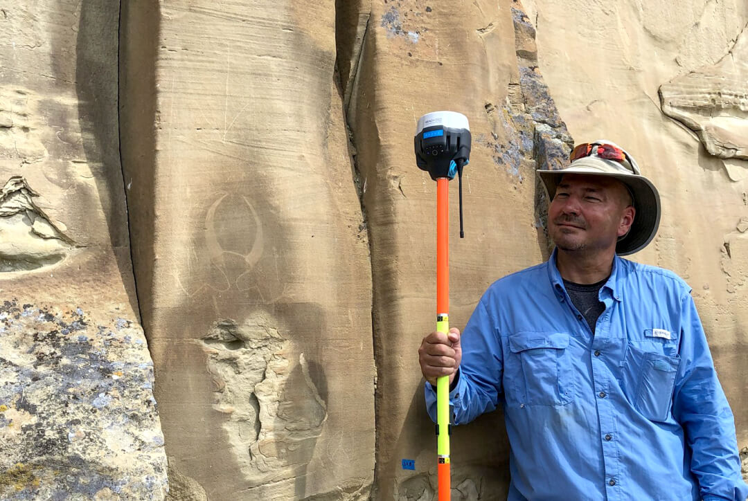
We continue discussing how Emlid Flow can be used across different applications, this time focusing on archaeology. GNSS technology is invaluable for accurately performing topographic surveys, tracking excavation progress, and pinpointing artifact locations. With Emlid Flow and Reach receivers, these tasks become easier, offering tools for data collection, stakeout, and beyond.
Setting up with ease from the office
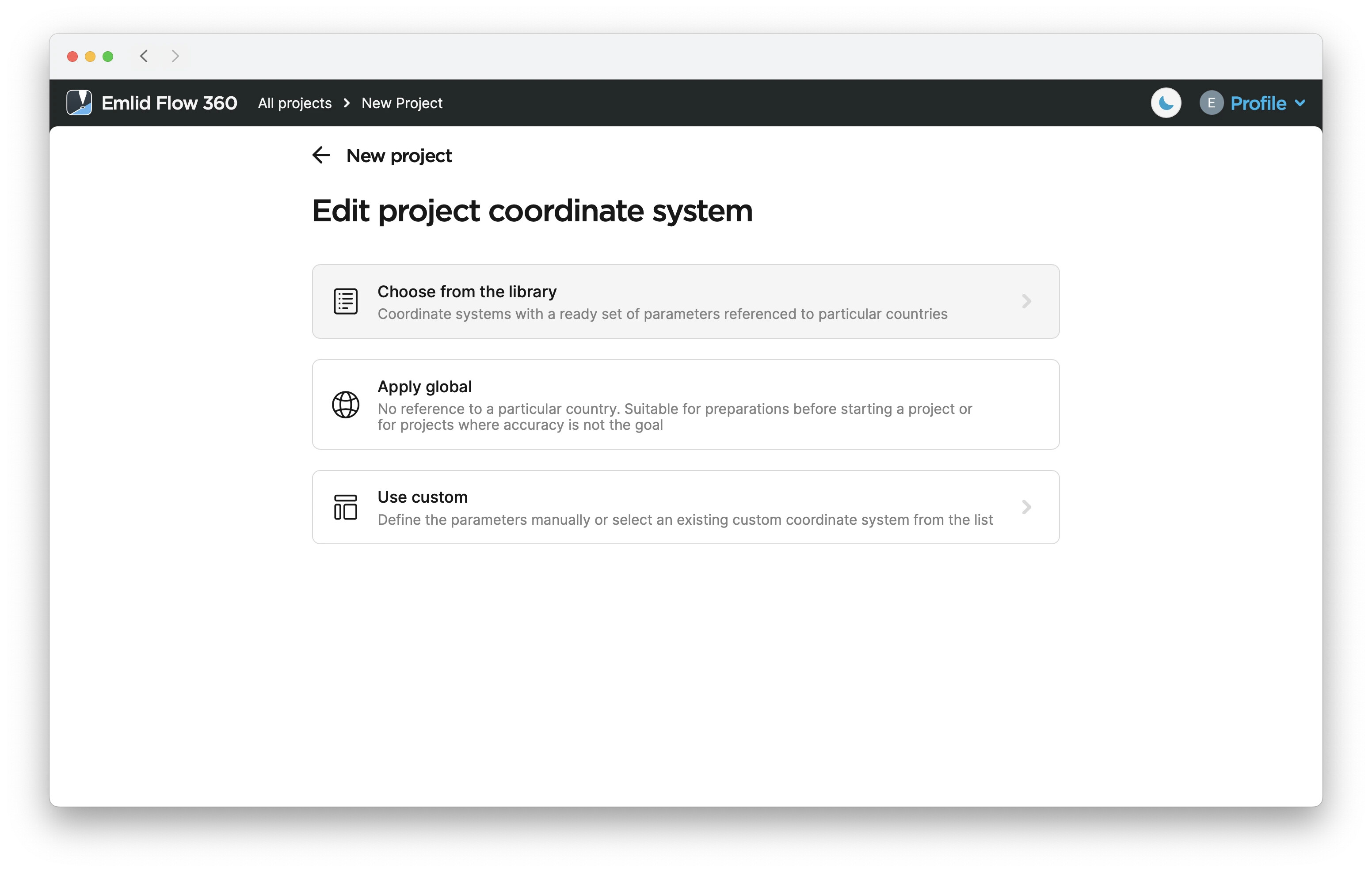
For a more comfortable setup, you can prepare for the survey right from the office. This is possible with an Emlid account—log in through the Emlid Flow 360 cloud app and create a project using the appropriate coordinate system.
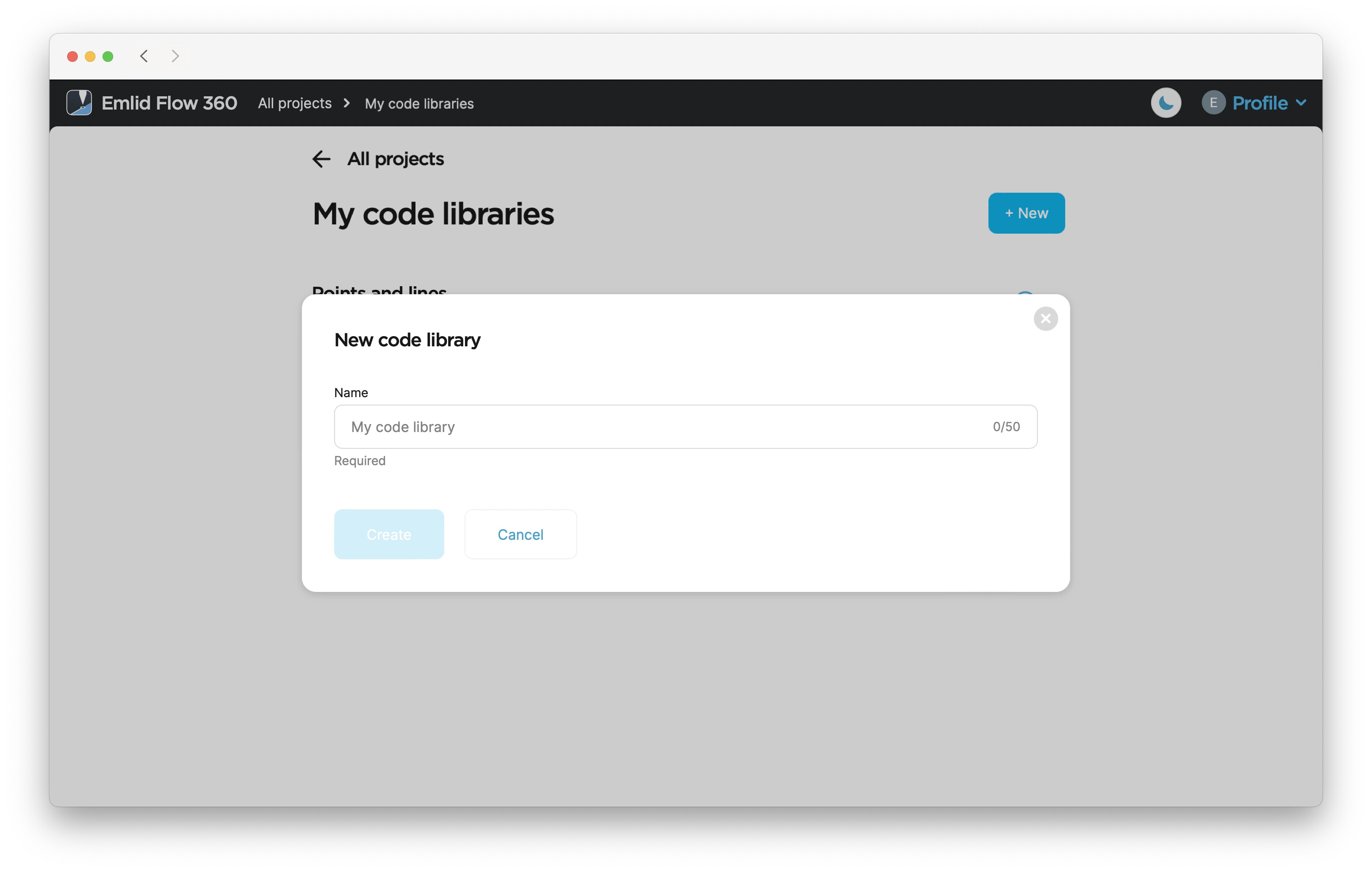
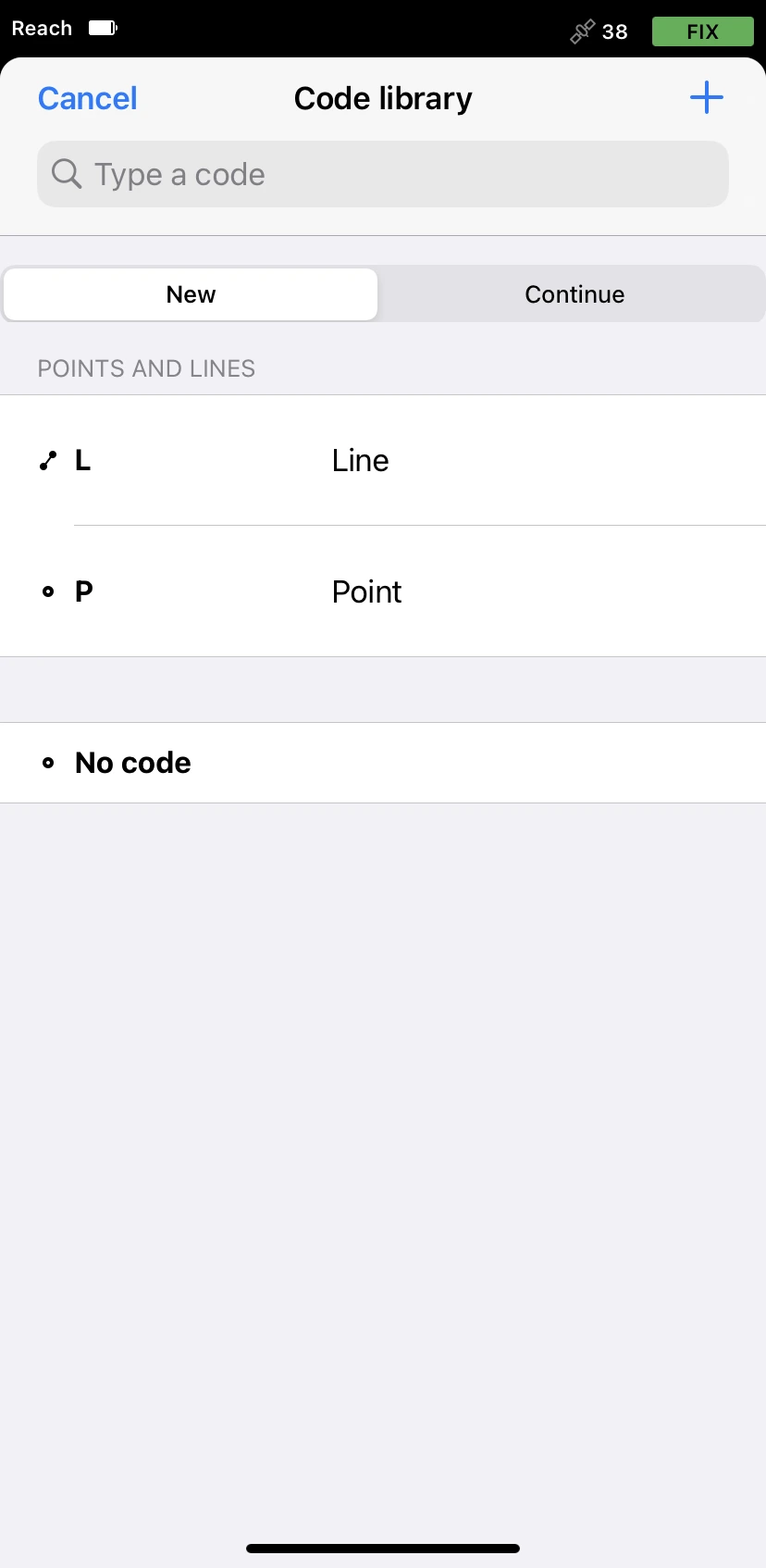
Use available survey code libraries or upload your own to categorize and tag data points based on artifact types, excavation units, or features. This will help organize large datasets during fieldwork. If you don’t have a code library ready, you can easily create one on the go using Emlid Flow while in the field.
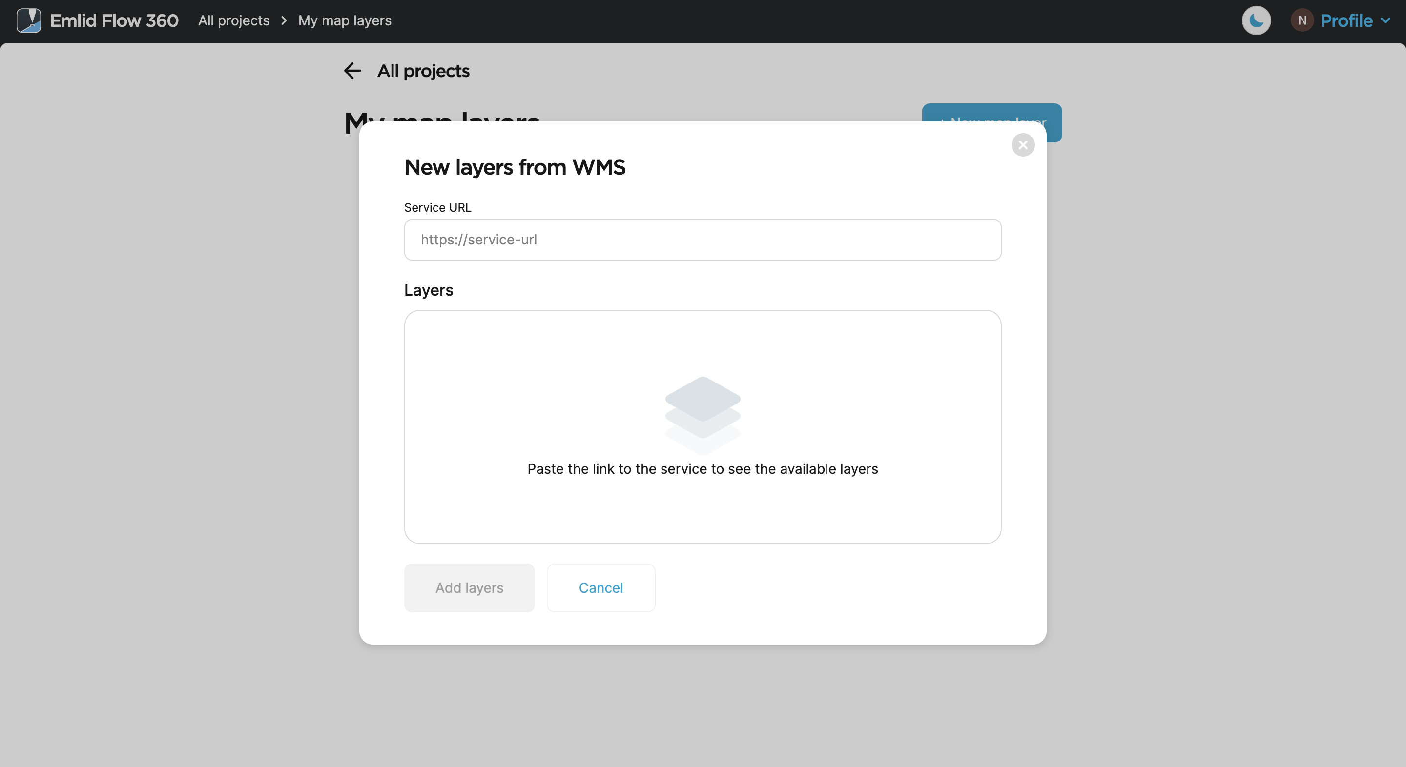
Additionally, you can upload WMS/WMTS layers to overlay historical maps, satellite images, or other geospatial data onto the site plans for added context. Layers are particularly helpful for understanding the landscape and planning future digs.
Collecting data in the field
With your Emlid account, accessing your project in Emlid Flow is effortless—it will instantly sync to your mobile device.
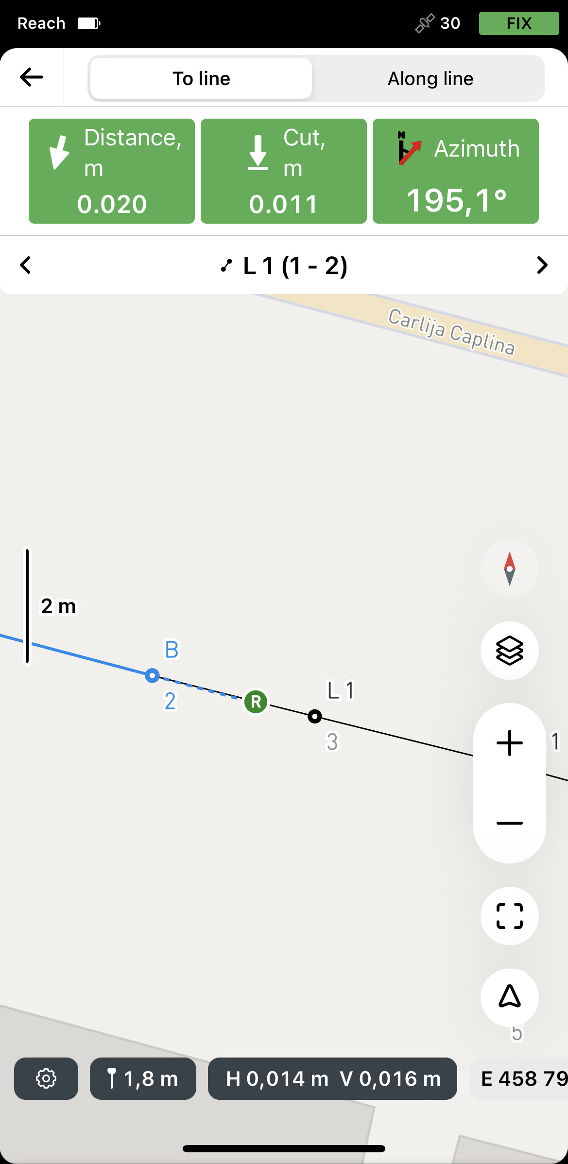
Use the app to mark the boundaries of excavation units or relocate previously documented artifact sites. This will help you easily stake out precise areas of interest in the field, ensuring your excavation work is accurate and efficient.
Continue by capturing landmarks and collecting artifact locations, adding survey codes on the go if necessary.
Once fieldwork is complete, return to Emlid Flow 360 at your office to export the project in the required format, with all data seamlessly captured and ready for analysis.
Using Emlid Flow and Emlid Flow 360, you can accurately document artifact locations, plan excavation areas, and analyze spatial data quickly.
Have you used GNSS for archaeology? Share your experiences in the comments below, or reach out to us at support@emlid.com for any questions!