Hi all,
I’m after a bit of help from a GPS Tech Wiz,
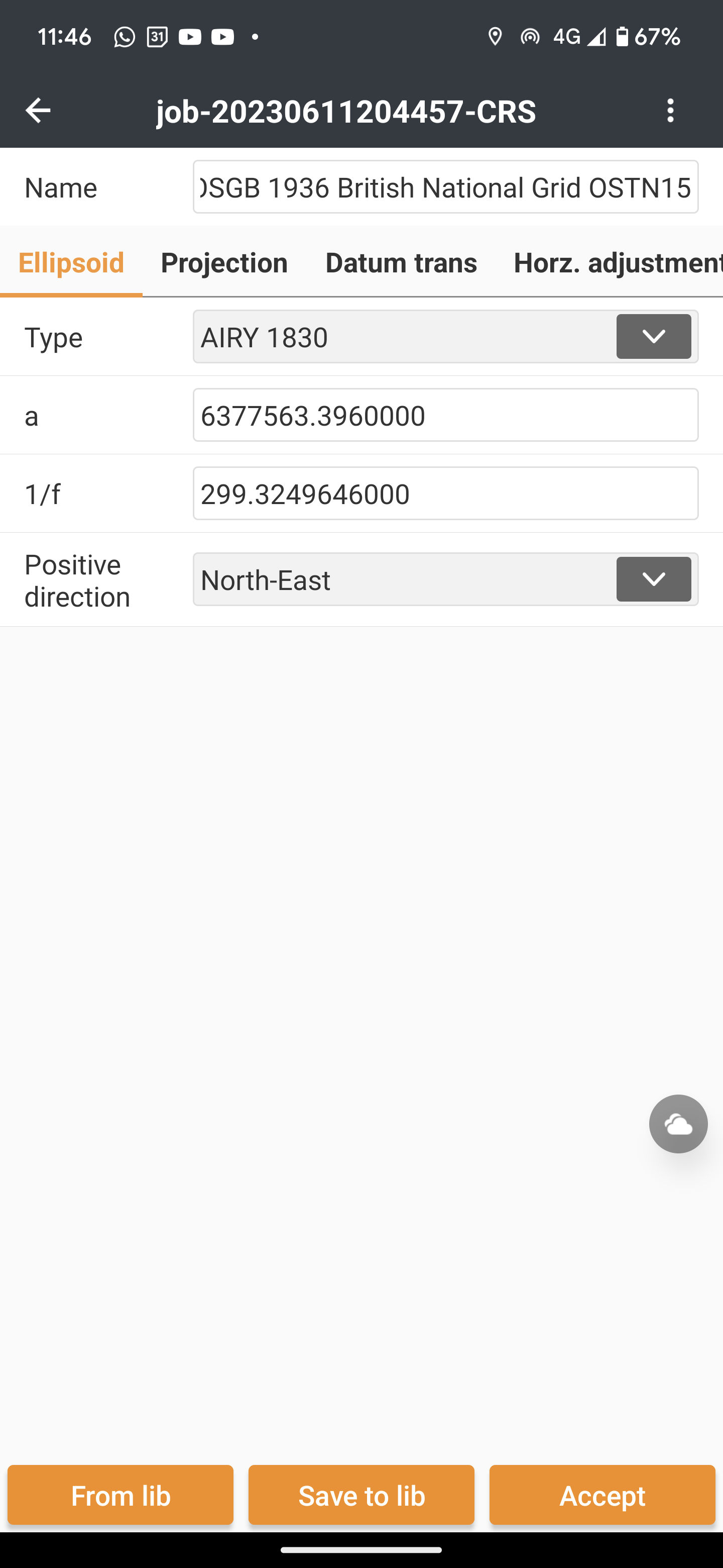
I’m using a 3rd party app called efield as I need to stake out DTMs and it’s proving to be quite difficult to set up the app to work with OSGB1936 British national grid.
It’s first asking for emilds antenna specs in the following format:
Radius:0.000m
Phase center height:0.000m
Height from bottom:0.000m
Not sure what to put here,
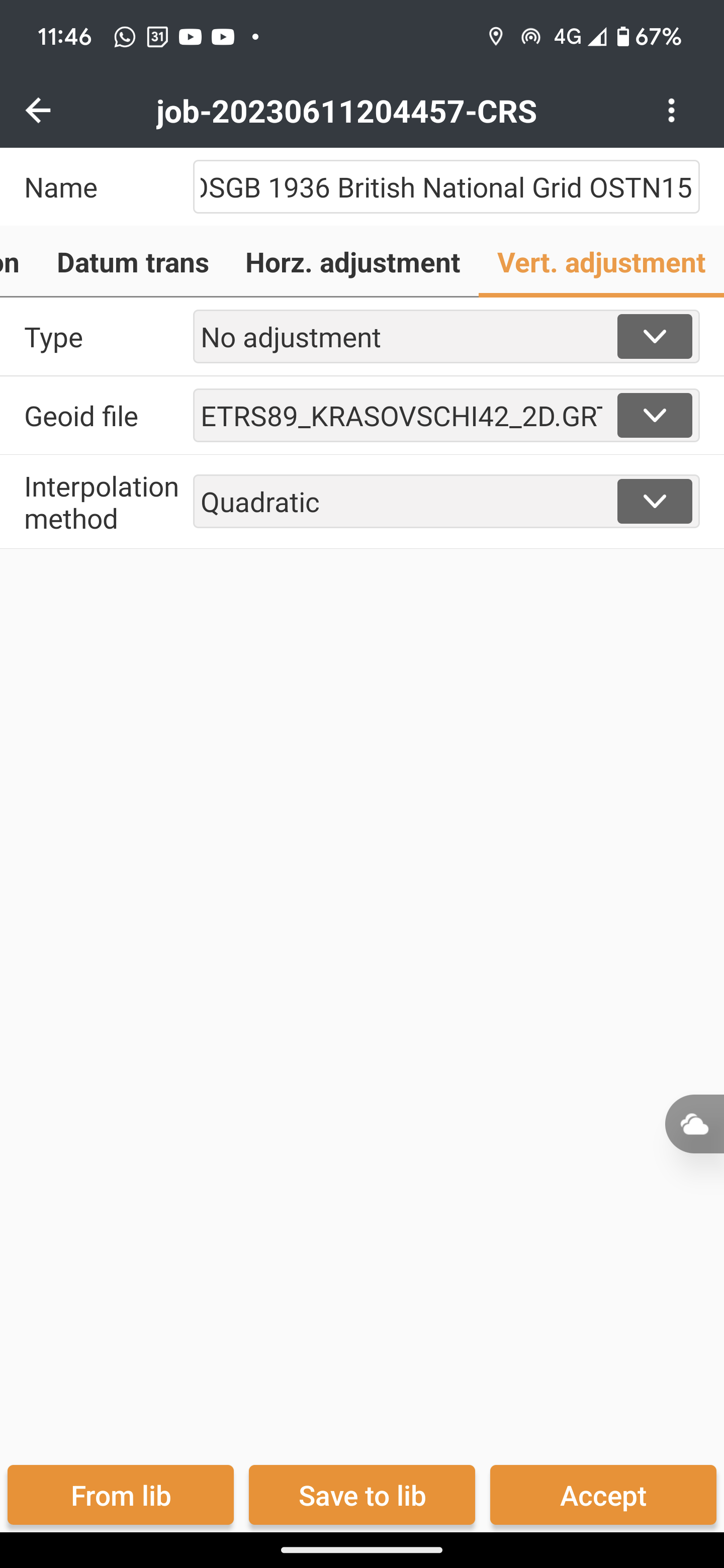
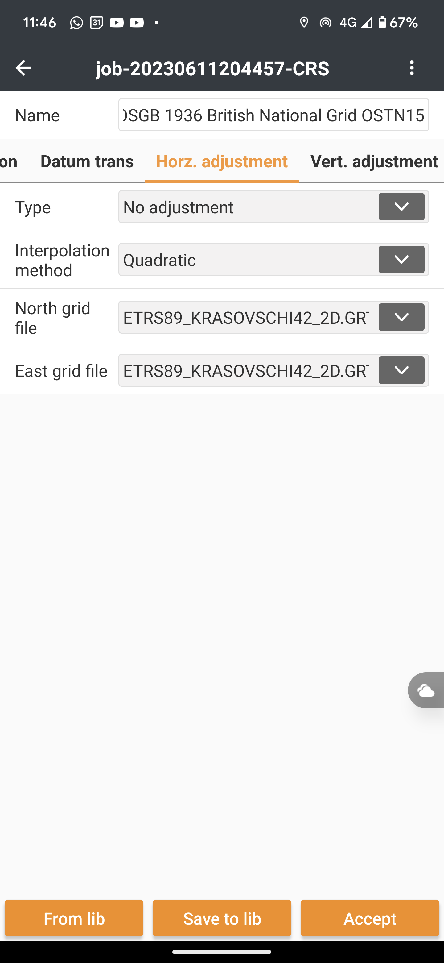
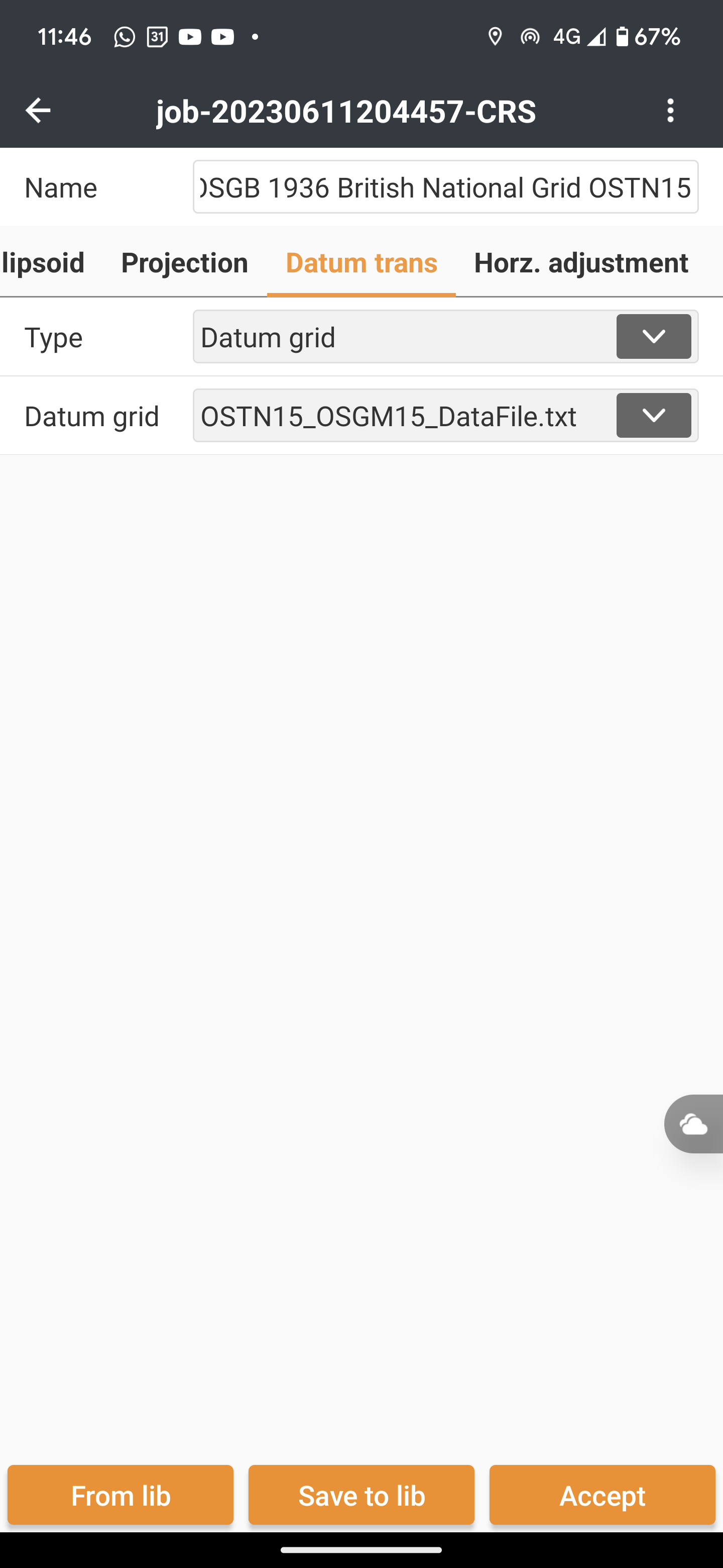
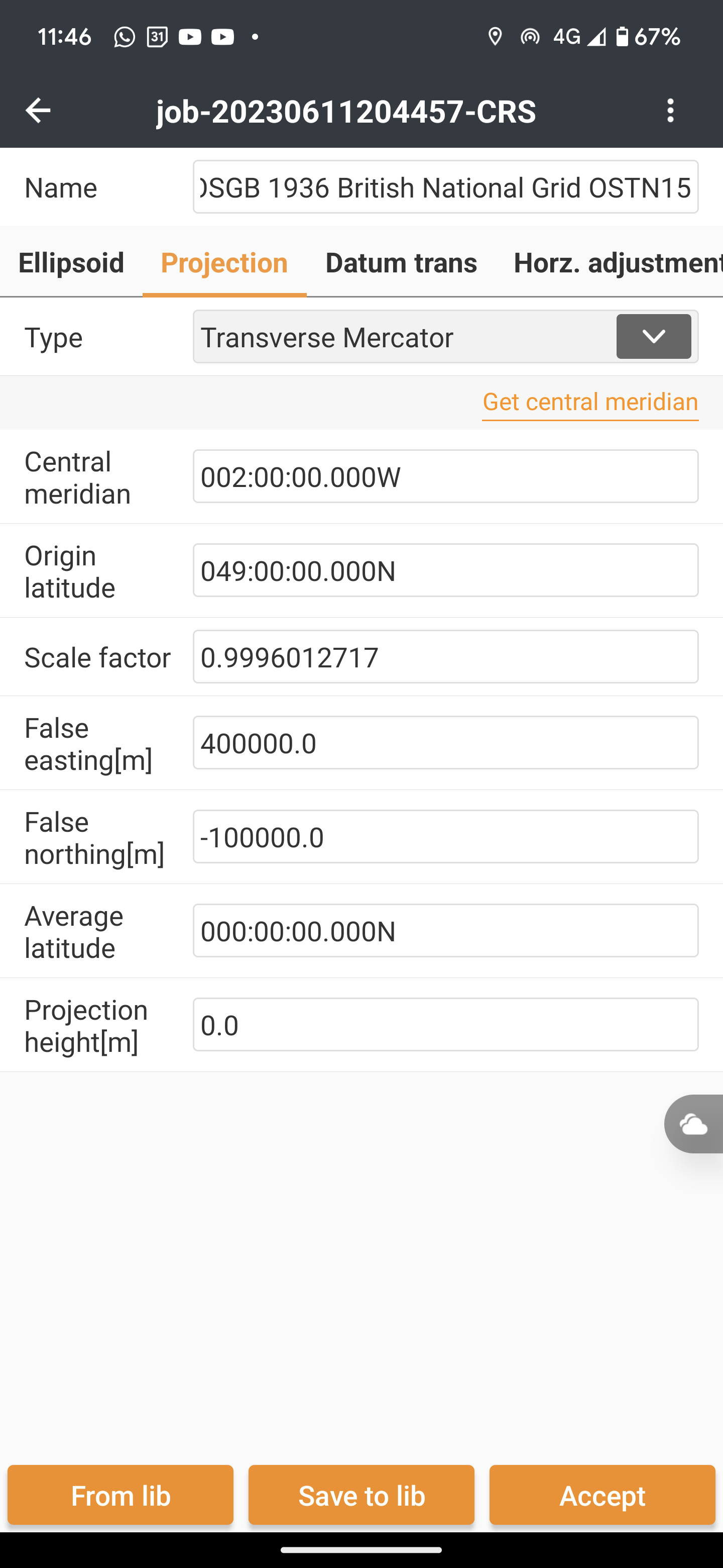
It’s also asking for the manual transformation settings which I’ve never put in before so anyone who has used this software or who can give me the manual settings to set this up please let me know I’d appreciate the help.
Alternatively if you have any suggestions for software that can help with surface stake out and a more comprehensive solution for setting out please link below.