Hi there!
Anyone know of a good way to get the .pos file to UTM coordinates (easting/northing/elevation) in meters? The way I understand XYZ ECEF it is not the same.
Thanks!
Hi there!
Anyone know of a good way to get the .pos file to UTM coordinates (easting/northing/elevation) in meters? The way I understand XYZ ECEF it is not the same.
Thanks!
Hi,
Try Duckduckgo search of “gps LLH to UTM conversions” for starter. Lots of online info. Others here may have more info on converting .pos or .sol files. Good luck…
There really aren’t many easy ways to do this - I made a small app here that will convert the POS file to a UTM CSV.
When processing you need to have it set to be comma delineated. After that you run the application, set your Proj4 String and open your POS file.
It will Convert your POS file into a Northing/Easting/Elevation. Though the elevation will remain an ellipsoidal elevation.
Here is the link
Hope this helps.
Hello again,
Thanks to Surveyor for posting app to convert POS to UTM CSV. Seems to work OK. Set option for delimiter to “,” in RTKPOST or RTKNAVI.
I tried using Geoplaner*com to plot UTM on map, but I wasn’t successful. I think they have a rounding bug. The UTM EN units are in km, so adding the decimal part for UTM seems to mess up the conversion.
I was more successful using >> http://wwwrcnmontana*edu/Resources/Converter.aspx for USA. (Replace * with .)
This is not my area of expertise, but this is a start. I yield to the pros to provide better ways of plotting the UTM values on the maps.
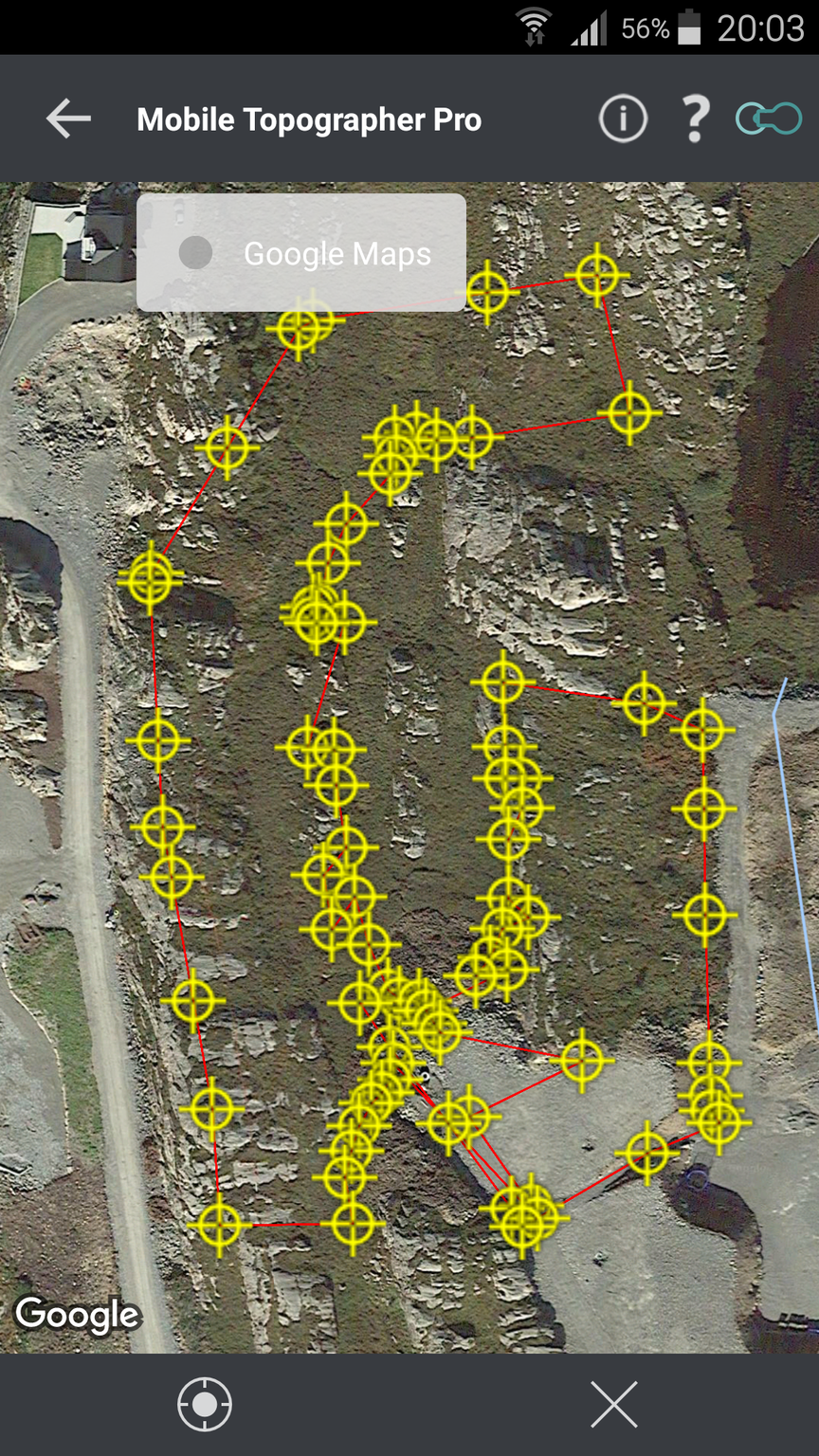
I find it easier to work with mobil topographer.
Mtp can batch convert, export and import from/to UTM to Lat/Lon
Like this
Hi,
I have not worked with mobil topographer. I installed the free version. The conversions seemed good to me. I plan to download the pro version to gain the extra functions.
Mapping can be tricky as the “base” reference stations are not really “fixed” in GPS coordinates. Here in California USA, I have plotted the LLH of fvpk station. Using the Canadian L1L2 PPP program, I measure a NW drift of about 1.7 inches NW per year. This means the monument drifts about 170 inches (approx 14 ft) per century.
When we get a San Andreas Earthquake every 135 years or so, the slip has been around 20 feet or so. So the map date is important and the reference should as close to Rover as possible.
So, what do we do with maps after an earthquake? Job Security for Surveyors, Real Estate Lawyers and judges.
Oh, I did not realize my LG Leon LTE phone GPS received Glonass .
Please feel free to comment on errors in my thinking.
Appreciate your many contributions to the Forum…
Oh my. Then you have lot to take care of and make sure is up and calibratet.
We dont have much drift in the surface ,locally
Good luck with topographer, it can be a bit confusing in the beginning to get the import/export right.
Just pay attention to delimiter and file format when importing.
wow! thanks for all the answers! I will try it out this weekend 
Hi @TB_RTK,
So with the MTP app is it possible to use the cell phone as a collector? for withdrawals
Yes, It should. But this one is super old and Reachview has the same option to collect points.
Hi Allan,
Have you seen ReachView 3? It’s our iOS and Android app with the Survey tool. You can collect and stakeout points with your cell phone. And it supports different coordinate systems, including UTM.
You’re welcome with any questions!