


Thanks for the feature to import and export points from dxf and shape files you recently added to reachview3.
Can you please add support for line and polygone geometries to the dxf and shape import.
In the stakeout screen the lines and polygons should be visible with the points baking these geometries.
Best regards Roland
6 Likes
Hi Roland,
Thanks for the feature to import and export points from dxf and shape files you recently added to reachview3
Glad to know it’s helpful ![]()
We plan to add polyline and polygon support to future ReachView 3 versions. Still, users’ questions help us determine how requested the feature is. Thanks for sharing your ideas!
5 Likes
Hello
for the future it would be desirable if an entire pipeline plan could be read in.
something like this one.
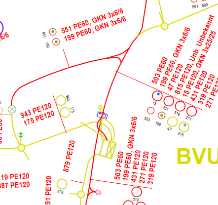
that can be as dxf.
But if that causes too many problems with individual elements, then a png or a pdf would also work.
simply georeferenced.
3 Likes
A georeferenced PDF would be better. I don’t think you will want to try to import text with a DXF on a mobile device.
2 Likes
pdf would be a good way as well
2 Likes
Hi guys,
I agree that a georeferenced PDF can be more convenient if there are many elements, including textual ones. We’ve already received some similar requests. So, we’ll consider adding this option in the future 
2 Likes
I like WMS or similar for background maps, info or as a sanity check. I use this in FieldGenius.
Its scalable (fonts and objects fits nicely on a phone, the amount of info you want to see is selectable, options for caching (works without internet), link to live service with the latest version or updates.
3 Likes
Hi @TB_RTK,
Sounds like another nice option we can keep in mind for the future! Thanks for sharing.
2 Likes
Phooey! We don’t need background maps! Just give me the lines from the engineered CAD file… Just kidding  Maps would definitely be useful in some of our scenarios as well. I hate switching back and forth from the Survey to Google Earth for fear that something is going to crash or get hung up.
1 Like
Ja, linework first for sure. 
1 Like
For those who are using QGIS there is an android app called QField. You can load a QGIS project into QField on the smartphone. Over bluetooth you can connect a RS2 and collect not only points but lines and polygons. If you connect a database like postgis as backend to your project, the collected geometries are even directly stored online into the database. To stakeout you have your plan/map on the display and see your current position too.
We use this setup successfully for some of our customers. But for those who do not want to use QGIS/QFiled it would be cool if reachview3 has some of this functionality built into the app which is the reason why I created this request.
5 Likes
Yes please! We are using other apps for this but it would be so much nicer to have the capability in Reachview App.
Hi Andrew,
Noted the request, thanks!
2 Likes
This topic was automatically closed 100 days after the last reply. New replies are no longer allowed.
Hey there,
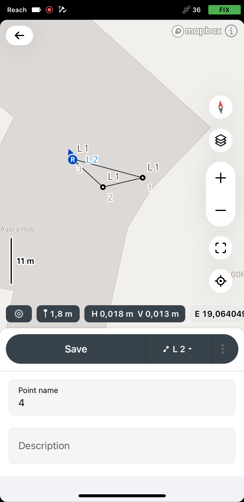
I’m back with an update! The linework is now available for the Survey plan in the Emlid Flow app. Please check out the Collect lines and the Stake out lines guide for more detail.
1 Like
Hi guys,
Just wanted to say that WMS layers are now also supported in Emlid Flow under the Survey plan. If you have any questions or feedback, don’t hesitate to create a new thread!
1 Like
Hi everyone, I have good news! We support closed polygon feature starting from Emlid Flow 11.3
This feature comes with a Survey Plan. You can also try this using our offer of a 30-day free trial.
I am attaching our guide about this feature. Looking forward to your feedback!
2 Likes