Queries regarding the measurement with the DRON: EMLID REACH M +
1.- With the SONY RX0 camera, will it be that the cable they offer, that is, the shoe adapter, will be ideal for my camera …?
2.- It will be required that the REACH M + receiver and the antenna consume or connect to the battery. Because in my fixed-wing drone has its own battery for its connection in the flight controller.
3.- How much do the adapter for the camera, the M + receiver and the propeller antenna weigh? I suppose they carry during the flight …?
4.- They do not have a video in the armed, configured, unmanned plane launch and data processing; What will give me a general idea for its management.
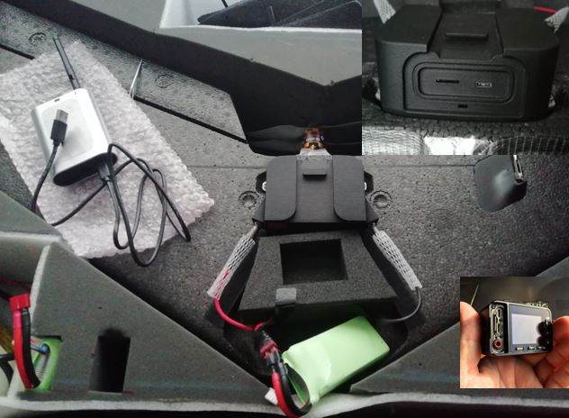
5.- Attached images of my drone / UAV, with the question of whether your UAV PPK kit will be adaptable to my drone …?
Consultations regarding measurement with GPS: EMLID REACH RS +
1.- To the mention that you make that Emlid Reach RS + is terrible in capturing data in places with a difference of +/- 100 meters of obstacle interference of objects. For example, in my city of La Paz is constituted by an irregular topography of slopes covered by variable vegetation, construction and buildings of 50 floors. I thought that with product (Kit Reach +) I was going to give solutions in urban areas and I see that it only serves for flat land without buildings.
Any friend who has done data reliability tests (RMS) using RTK and PPK survey methods on irregular terrains on hillsides that contain saturation of urban areas …?
2.- With what programs do you use base line adjustment processing in order to obtain parameters of SCALE FACTOR …?
3.- When loading a list of points but in flat coordinates (UTM: EAST, NORTH, COTA) in Reach + as you rethink about it, there is no user manual for your application …?
4.- If xiomi Mi8 if already launched with GNSS frequencies L1, L2 and L5 and extremely economic. If they can not find out which card they use to clone successful experiences in EMLID REACH RS + …?
5.-There is the possibility of using UTM projection (EPSG: 32719) in Reach RS + and M +
Thanking you for your sincere answers, I remain in doubt in the purchase of the kit REACH +.
I’m sorry, but I find it very hard to understand what you want to know. I would propose that you rewrite your questions in very short and less complex sentences.