I am a regular user of reach View 3, I have the app version 7.14.
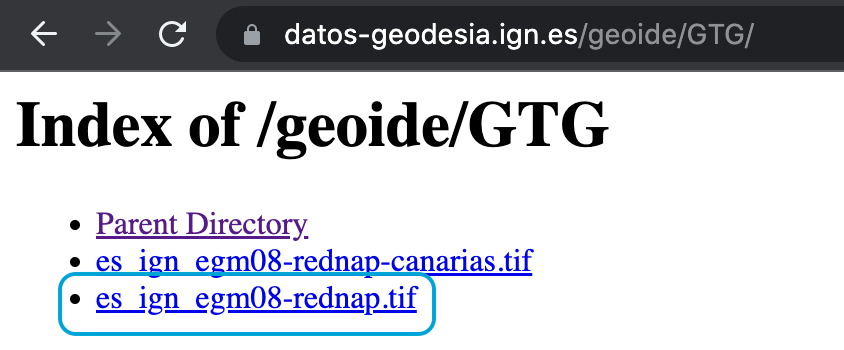
I have a query / request, I have not managed to load a geoid model of my own, for example, in Spain there is the official geoid EGM08_Rednap (Index of /geoide), this is provided in different formats supported by Topcon, Leica, Trimble, ArcGIS, etc.
I have two questions:
When using a Vertical Datum different from ellipsoidal heights the program does not save or at least does not export in CSV the ellipsoidal heights, it only exports orthometric heights referred to the shift geoid model. Is it possible to export in these cases the two heights? This would be useful because if you need to convert those heights to another orthometric system or to ellipsoidal heights in post-processing, having the ellipsoidal height available, it is easier to calculate it.
Is it possible to load a geoid model of your own that is downloaded in the device memory and the ReachView 3 app acquires it as a geoid model to be used in the following surveys?
Actually, there are both geographic and local coordinates in CSV export. There is a separate “Ellipsoidal height” column. Is it empty for your survey projects?
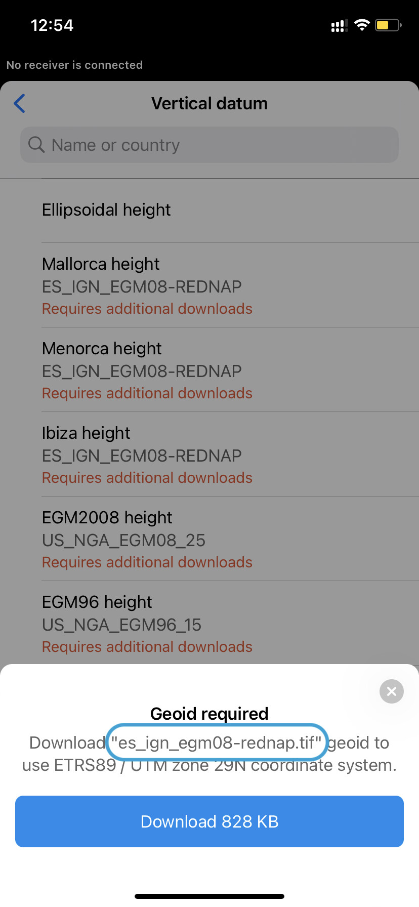
It’s not possible, but we’re always ready to add needed geoids if they aren’t supported yet. But I suppose this question is no longer relevant if ReachView 3 supports EGM08_REDNAP? Or are there any other geoids missed? If so, feel free to share!
To the first question. Yes in the geographic coordinates I do have ellipsoidal heights, but are they the selected datum (for example in micaso ETRS89) or are they WGS84?
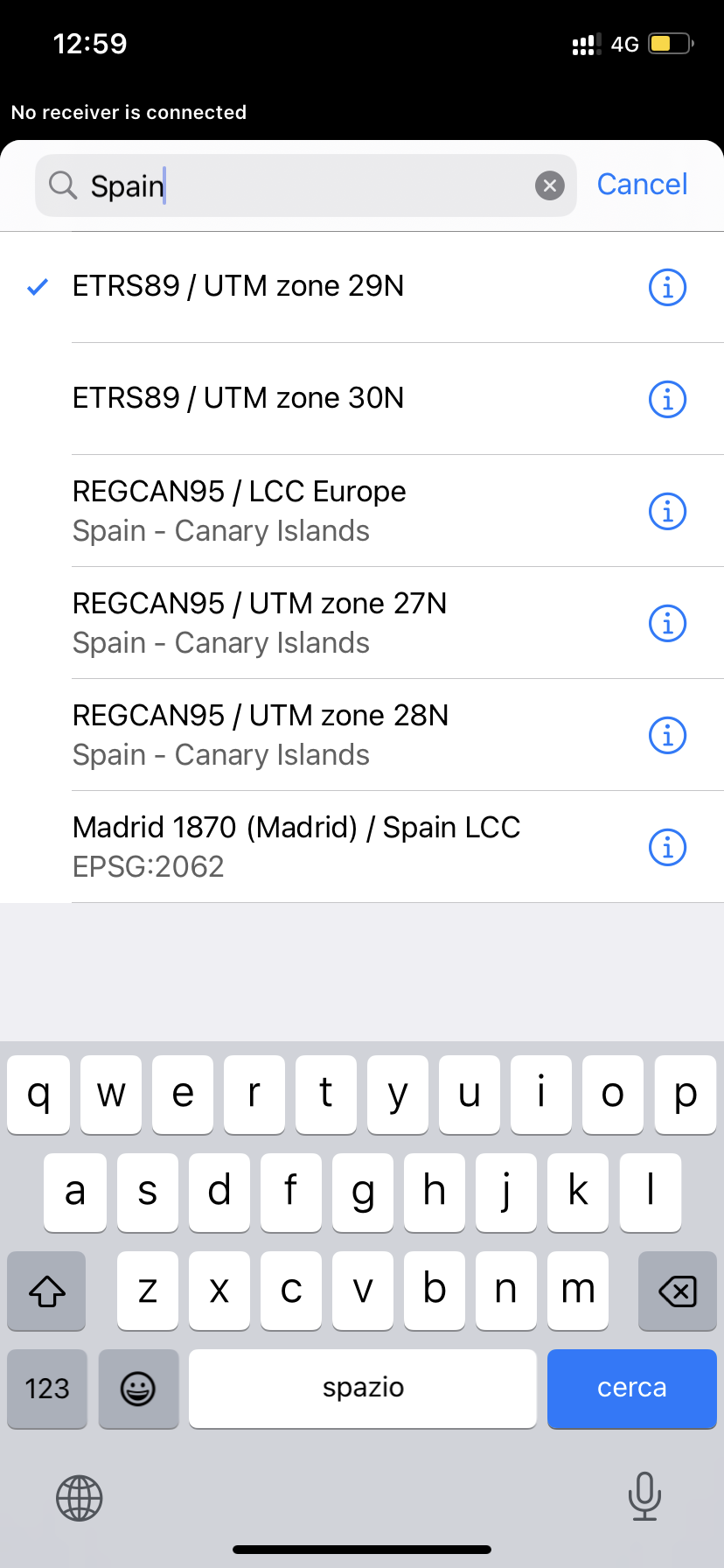
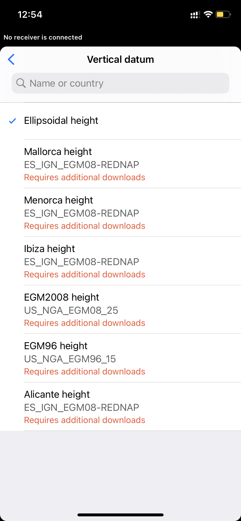
To the second question. The indicated geoid “EGM08_Rednap” is not in the list of available geoids in the ReachView 3 app. Could this one be included in the application (Index of /geoide)?
The vertical datum available in ReachView 3 is the EGM08, the EGM08_Rednap is different, it is optimised by the National Geographic Institute of Spain, it is more precise and has differences with the first one. Could it be included in the application?