I am looking to establish a permanent base point using the RS3. My current understanding of the process (without RTK) is the following:
Place the pin in the ground where you wish to have a known point
Setup the base receiver (RS3) over the pin using a tripod and pole with bubble-level
Set the recording to the desired rate IE 1hz for a specific amount of time
Start a static recording for 4+ hours. The pole should not move at all during this time. After complete stop recording
This is where getting the correction needs more clarification…
Download the RINEX file from the static observation (Base Antenna/RS3)
From here do I submit the RINEX file to OPUS for a corrected base location? Is this the last step?
Second Part.
Once I have the point established and I am using the established point will a correction from OPUS be needed again? What are the steps needed to correctly process a new base station file if set up on a known point?
Yes your procedure is correct, I would add that you’ll need the height of the receiver (ARP). Emlid’s ARP (antenna reference point) is the base of the receiver.
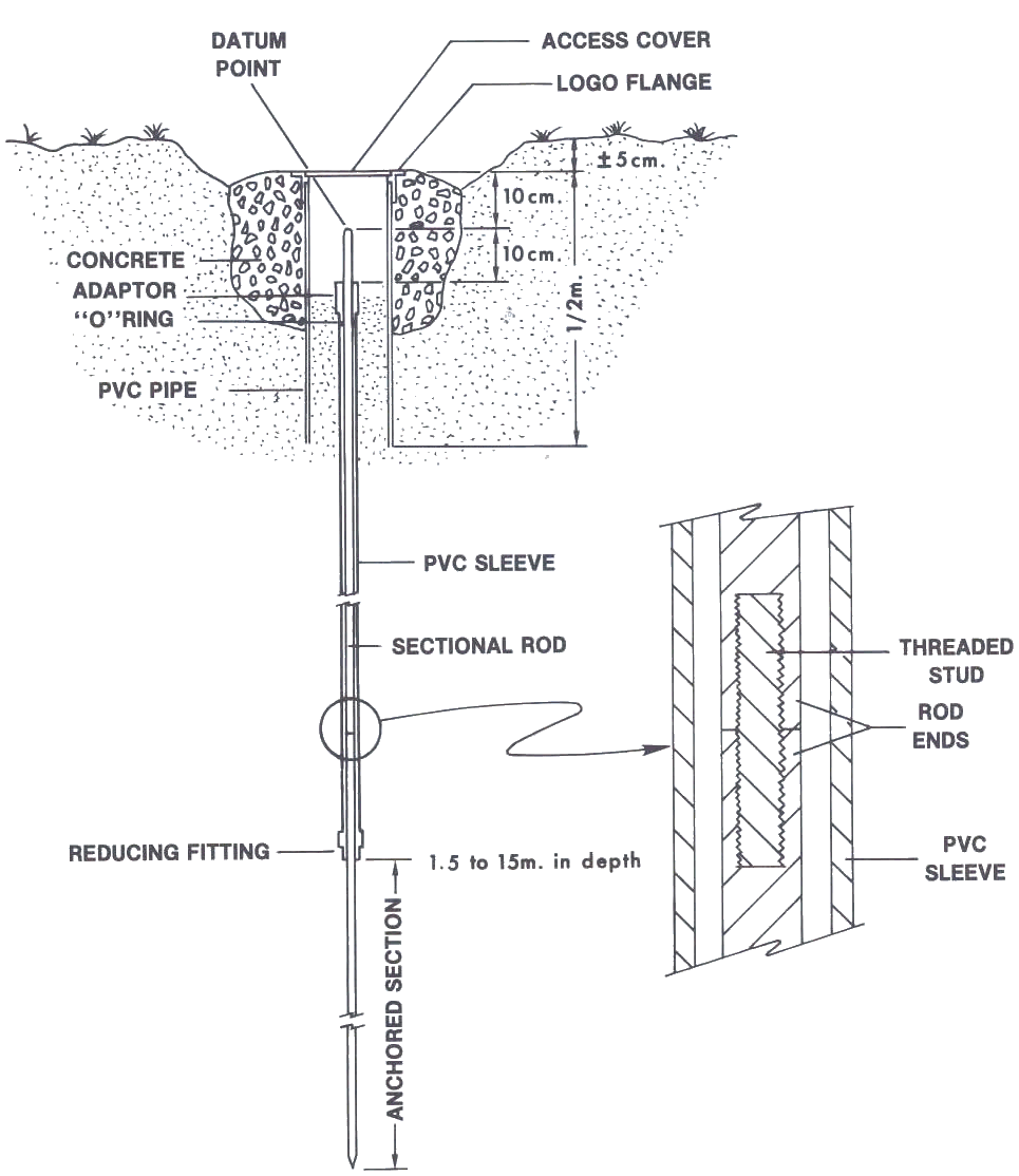
Also, is your planned control mark (pin) in an open area ? Another issue is I would have a stable mark. An example of your control mark (pin) would be a #6 rebar approximately 3 ’ long encased in a 1’ diameter hole in the ground with concrete . You would want to “punch” a mark at the top of the rebar once the concrete has cured. Also, place the mark where it would not be disturbed in the future.
Once the mark is stable for observations, observe the mark for 4 hours on at least 3 opportunities and submit each observation to OPUS . After you receive your results, average the 3 results and archive the resulting coordinates for the base position.
Yes, after you download the log from your Reach, you can submit it to OPUS to get the accurate position. Here’s a guide from our docs about it. I also recommend setting a 30-second update rate instead of 1 second for logging. Otherwise, the observation file can be too heavy for OPUS.
You’ll get the coordinates of the point from OPUS via email. Then, you can manually type them in Emlid Flow to set up your base. You won’t need any additional interactions with OPUS after this.
I can also second Bryan’s words about precise antenna height. You need to specify the distance from the bottom of the receiver to the point when you submit the log to OPUS. It’ll help you obtain the coordinates of the point on the ground.
I agree with the previous comments. I would add one thing: if you are setting a point/monument for long-term use, I would reprocess the file after 24 hours after the observation.
When you wait 24+ hours, OPUS will use the precise ephemeris versus almanac data. The position rarely changes much, but sometimes I will see better results later because something happens with the GNSS system that was not reflected in the almanac data.