


Does anybody know when “Create line from points” will be available on Android devices?
BR
Fredrik
Does anybody know when “Create line from points” will be available on Android devices?
BR
Fredrik
Hi Fredrik,
Our devs are currently working on the solution for Android. There’s no ETA for now, but once there’s any news, I’ll let you know.
Frederick,
I have an update. Starting with the Emlid Flow 9.11 version, you can create lines from points on Android devices.
If you’d like to try it out, you can get a 30-day free trial of the Survey plan. We’d be glad to hear your feedback!
Hi
I am already an Emlid dealer, so I have survey. When will 9.11 be out?
The 9.11 version is already available on Google Play.
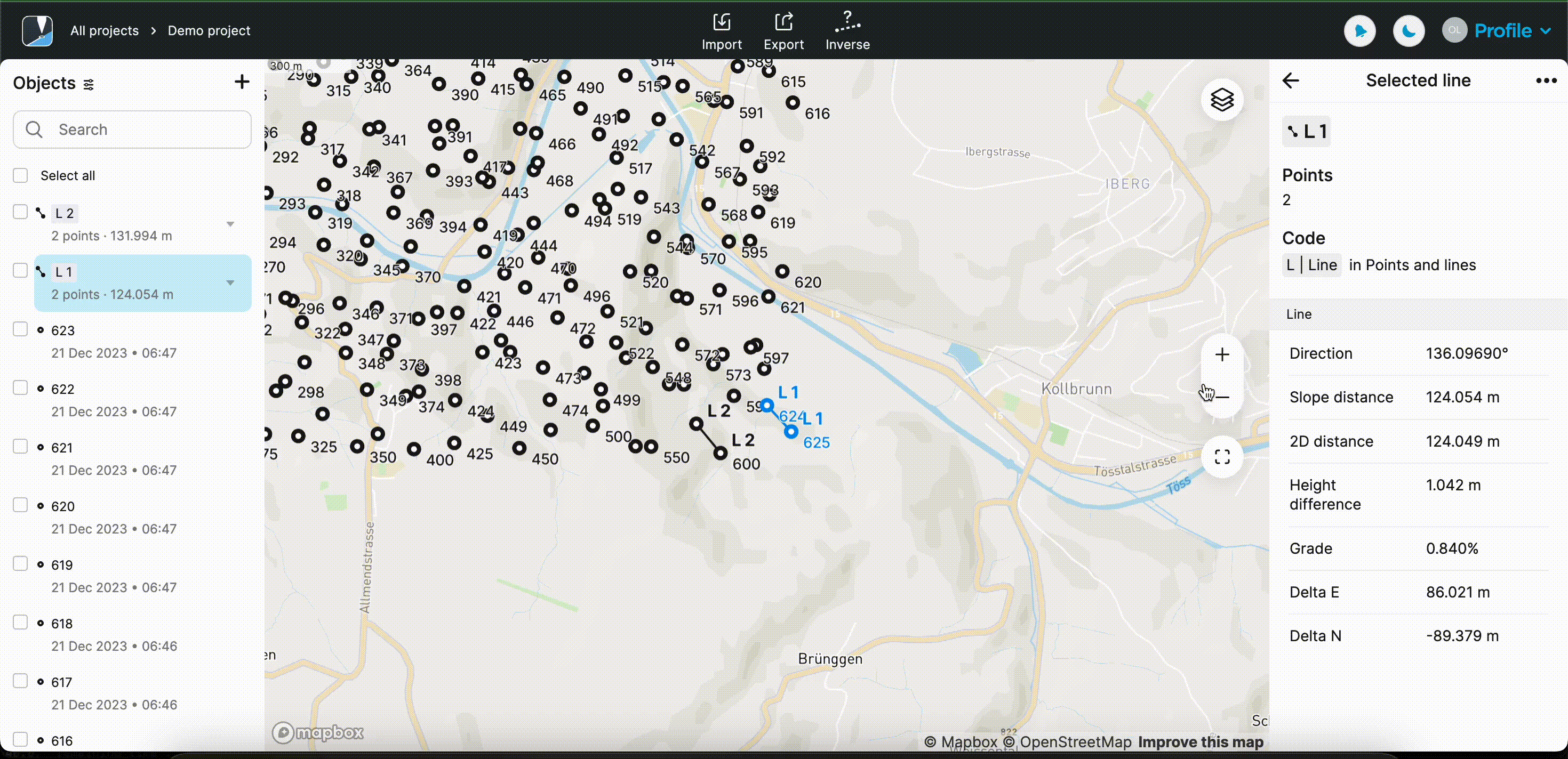
If under New line, points are selected that are in existing lines, they are then stolen from the existing lines to create the new one. E.g. effectively those points in the original lines disappear and the original lines are redrawn without them. So it appears it is not possible to connect a new line to points on existing lines, only to single points.
I would just like to confirm if this is the expected behavior?
Thank you
Yes, it is expected behavior in the application. You can add a whole line in the Emlid Flow 360. Is this what you’re looking for?
Can you tell me more about your workflow and why you would need it in the application?
OK, here goes bear with me…the benefits of this feature are general and much broader than any one use case. The ability to do it in the field instead of office can be very useful for any workflow that involves a network of interconnected lines as it can:
For example, in my case it might be tracing heritage building foundations (rooms, passages, stairways, whatever), and/or property internal & external boundaries & paths. But it could equally apply to anything else such as routine cadastral work, drainage, construction, whatever.
You could minimize traverses, and it takes only seconds to pop extra lines in when you hit the junctions. The specific points are certain as you are there looking right at them, and it’s clear what the feature/code should be, so all round no mistake. Done.
To do it later in the office means you probably need to record the details, type or write notes, and/or draw sketches. This alone can take longer than simply adding the line.
Then there is the extra time playing pin the tail on the donkey and joining the dots later. You now have diminished retention, maybe you missed something in the notes and now have to spend even more time figuring it out, or maybe you even spilt beer on the notes or even lost them (possibly as a result of the beer). And aerial background imagery may not be available to help, the site may have only just been excavated or built, or the site is small and the resolution of the available imagery is too coarse to identify the detail required.
Yes, there are always times we will have to do a lot of work back in the office, and we have always done it. But if we can reduce that and particularly for activity that could really benefit, let’s do it.
Otherwise, think of it simply as a natural extension to the intention of RTK, do it in the field and it’s over and done with. No post processing back in the office. You could even now export and email the finished data from your device before you have even arrived back at your vehicle to pack up and go to the bar.
By the way FieldGenius for Android does have this functionality
Thank you for such a detailed description of your case! I’ll pass this request to our development team.
This topic was automatically closed 100 days after the last reply. New replies are no longer allowed.