


Is there something wrong with my data?
Reach RS.pdf (188.8 KB)
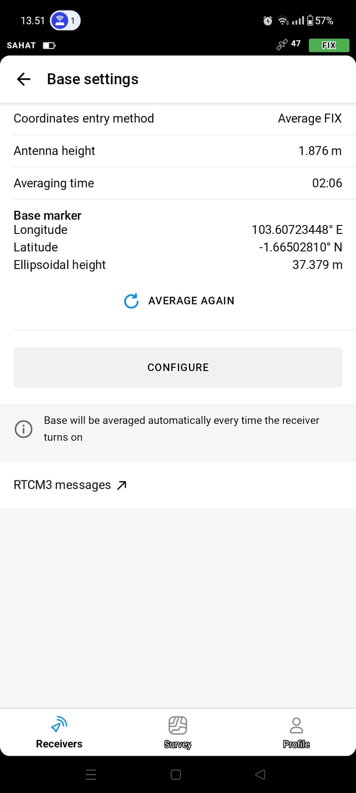
and why the coordinate values in the photo are different
Reach RS.pdf (188.8 KB)
Is there something wrong with my data?
Reach RS.pdf (188.8 KB)
Hi @sahatmanikesri,
I reviewed your data, and everything looks good! The post-processing results in decimal degrees are:
They match the base’s averaged position, so no concerns there. The only slight difference is in the ellipsoidal height. Reach shows 37.379, while the PPP result is 37.3362.
Have you used NTRIP for averaging in FIX? If so, I suggest checking if the NTRIP base’s vertical datum is set to WGS84, too.