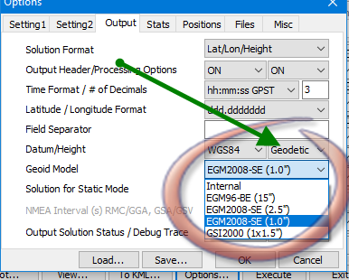
There are at least a dozen such applications, but here we are taking talking about Reachview. I can not imagine staking out without this option, in other words: can we directly use results on WGS84 with ellipsoidal heights?
it would be nice if Emlid team improve the apps with configurable coordinates system aside form WGS84. Many surveyors will benefit if they can configure or add different EPSG coordinates systems. also they may include direct ortho Height in there coordinates.
Many on this forum may not be aware that there currently are ways of accomplishing this so it’s always good to explore options when creating a post that others may use to learn. I don’t recall seeing any mention of “Reachview”, but it being in the Reach reach RS+ (receiver) area.
As I have mentioned in other posts, we also must think about the cost impact from development of all the applications and “improvements” that COULD be made. Where else can you pick up base and rover for $1500?
Regardless I love your post and agree that this functionality needs to be added, but it would be more useful in the form of localization and on-the-fly conversion then direct export. Then you not only account for direct projection translation, but enable the use of custom and grid coordinate systems which are much more higly used in the US - particularly in construction and the UAV mapping industries.