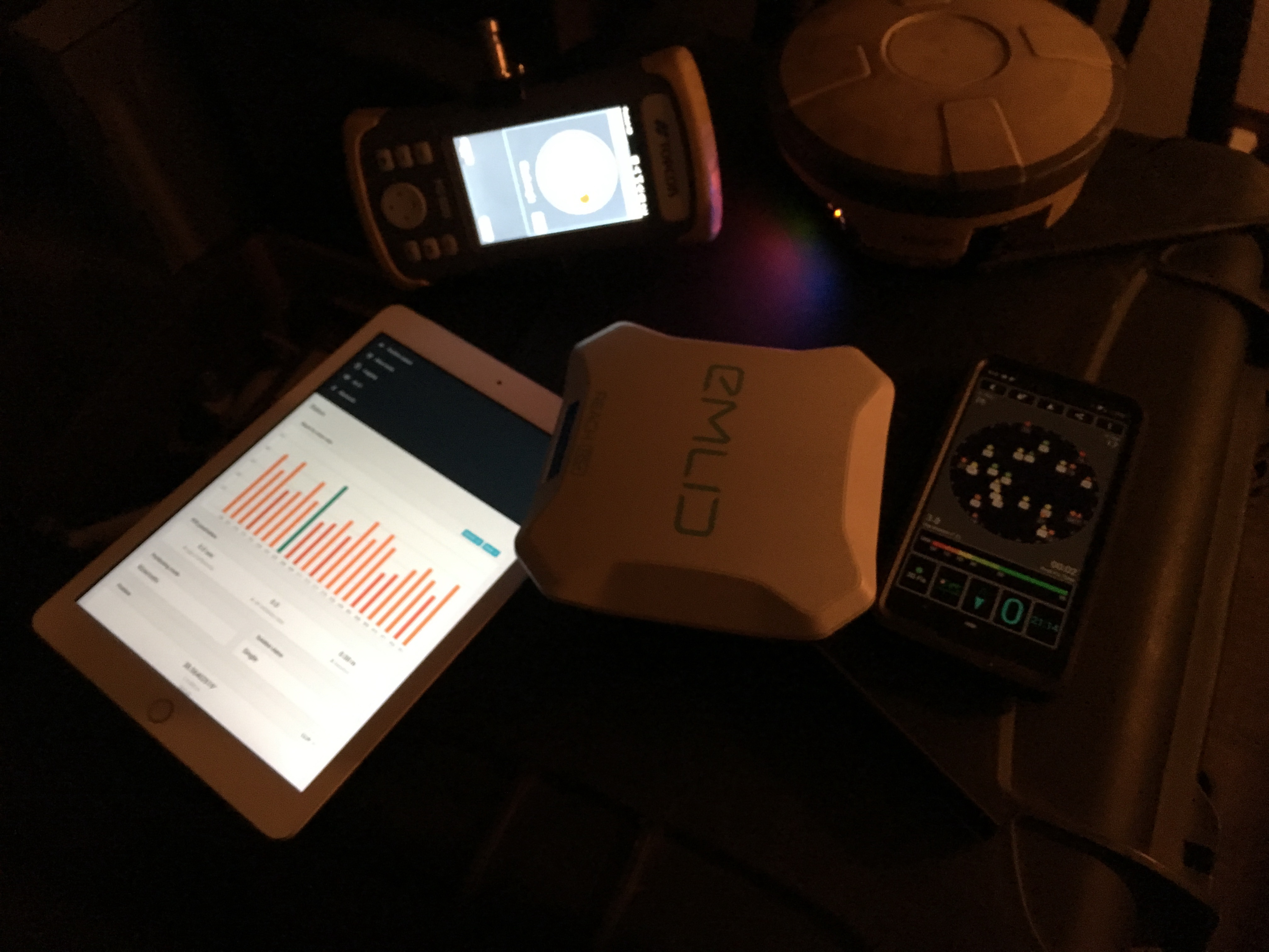
Today I had a wonderful opportunity to compare different GNSS receivers with Emlid Reach RS+. We the colleagues from http://lmb.lv we were measuring 3 points in the city environment with following antennas:
- Leica GS18
- Leica GPS900
- Altus NR3
- Altus NR2
- Trimble R4
- Emlid Reach RS+
Measuring setup was as following: RTK with LatPOS network, 10 sec measurement of each point in FIX, handheld pole (2 m).
The results were really good. Almost all of the receivers showed 2 cm accuracy (standard for cadaster measurement in Latvia). Here is the list of deviations from the measurements of the same points, which were found in the local geodetic network.
Point 9058:
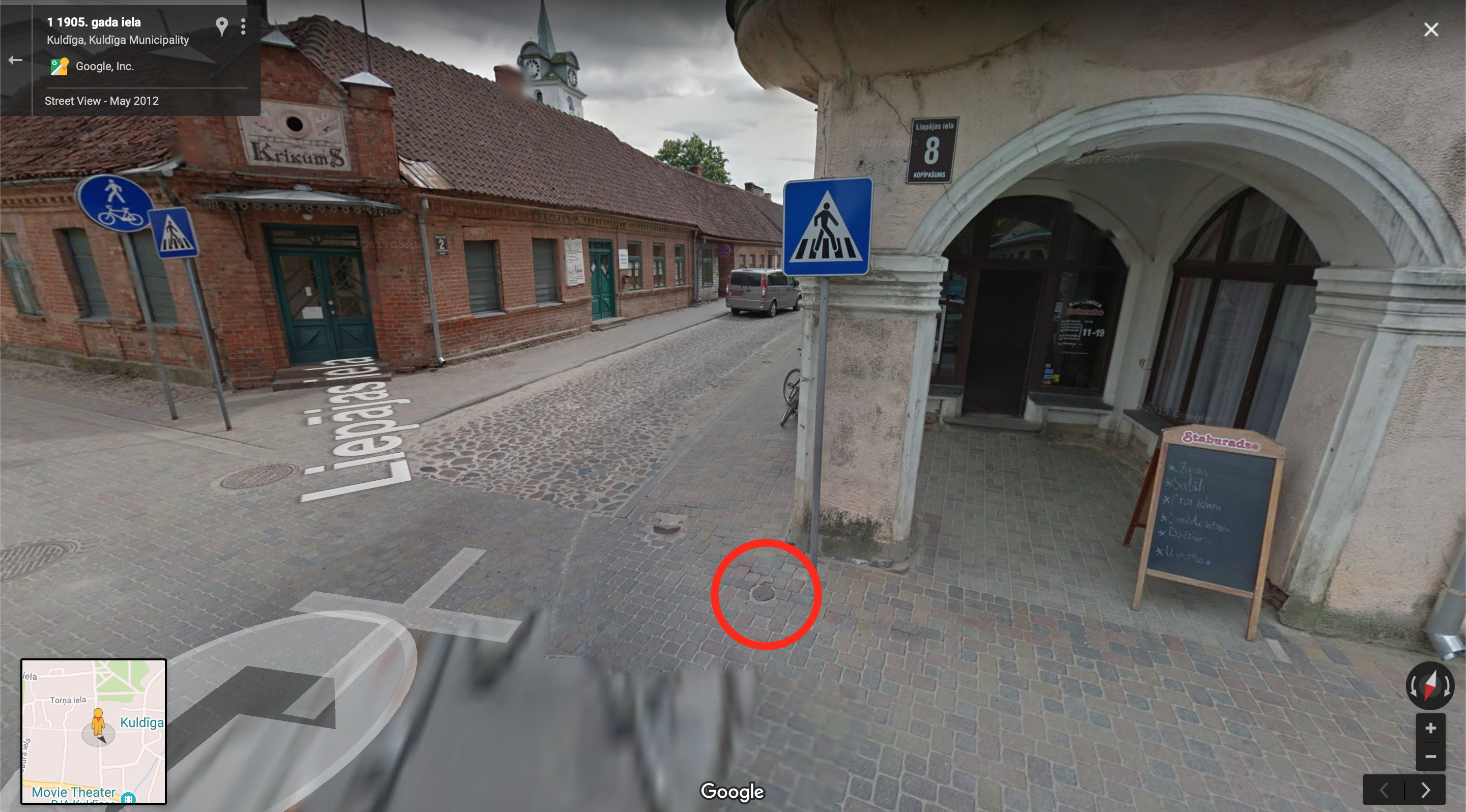
Point is in a small well, located very close to the building. With Emlid it was really hard to get FIX here, but after a small walk initialization was found and everything went well.
Results of the measurements (deviations in meters):
					dx		dy		dz
Leica GPS900	   -0,033	-0,018	0,006
Emlid Reach RS+		0,016	-0,002	0,006
Altus NR3			-0,014	0,006	-0,006
Leica GS18			0,001	-0,007	0,007
Trimble R4			could not acquire FIX
Altus NR2			-0,001	-0,013	0,013
Point 5222:
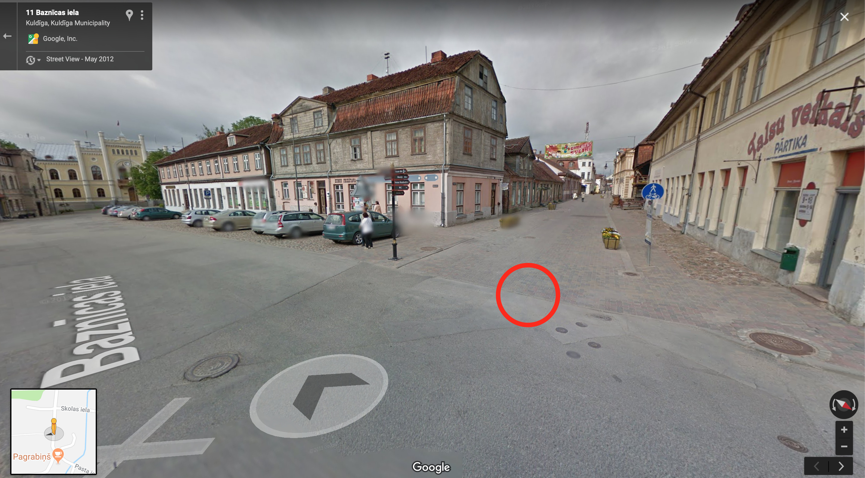
Point is a geodetic sign. Quite good observation of the sky. FIX status was acquired in 1.5-2 minutes. All other receivers acquired FIX in ~15-20 seconds. I think, it is because of L1+L2 receivers.
Results:
Leica GPS900        0,003	-0,004	-0,038
Emlid Reach RS+     0,003	0		-0,038
Altus NR3           0,003	-0,001	-0,051
Leica GS18			-0,004	0,004	-0,031
Trimble R4			-0,003	0,001	-0,042
Altus NR2			-0,006	0,005	-0,029
Point 5198:

FIX status was acquired in 20 seconds. I had to experiment with different configurations (Fix-and-hold and Continuous), as well as with different networks in LatPOS system (NETW-iMAX and Virtual RS).
Results:
Leica GPS900 	    0,005	-0,001	-0,038
Emlid Reach RS+		0,005	-0,009	-0,038
Altus NR3			0,013	-0,009	-0,044
Leica GS18			0,008	-0,008	-0,051
Trimble R4			-0,003	-0,002	0,015
Altus NR2			0,01    -0,006	-0,046
Overall, I am more than happy with the results. I have to admit, that local NTRIP base station was very near to the receivers, so that’s why everyone have good centimetre level accuracy. I will need to conduct the same experiment, but with the points, that are far from the local NTRIP stations.