


I have two Reach RS+ GNSS instruments. The Base is configured from a known point manually, and the Rover is getting correction from the Base with LoRa. I have tested the accuracy using Global CS(WGS 84) and I could get cm-level accuracy. But, the data collection is expected to be done in the local coordinate system which is Adindan/UTM Zone 37N (EPSG:20137). I have list of known points in local coordinate system from which the Base will be configured . What are the steps I should follow to configure the Base in local coordinate and collect data as well?
Hi @mael,
With the 7.3 ReachView 3 update, you can pick the base coordinates from the survey project. You just need to follow this little guide:
- create a project in Adindan/UTM Zone 37N and import the CSV with your points
- go to the Base mode tab and tap Configure
- select Manual in the Coordinates entry method
- pick a point for the base from the survey project
- collect points as you did before
2 Likes
Hi @anna,
Thanks for the support.
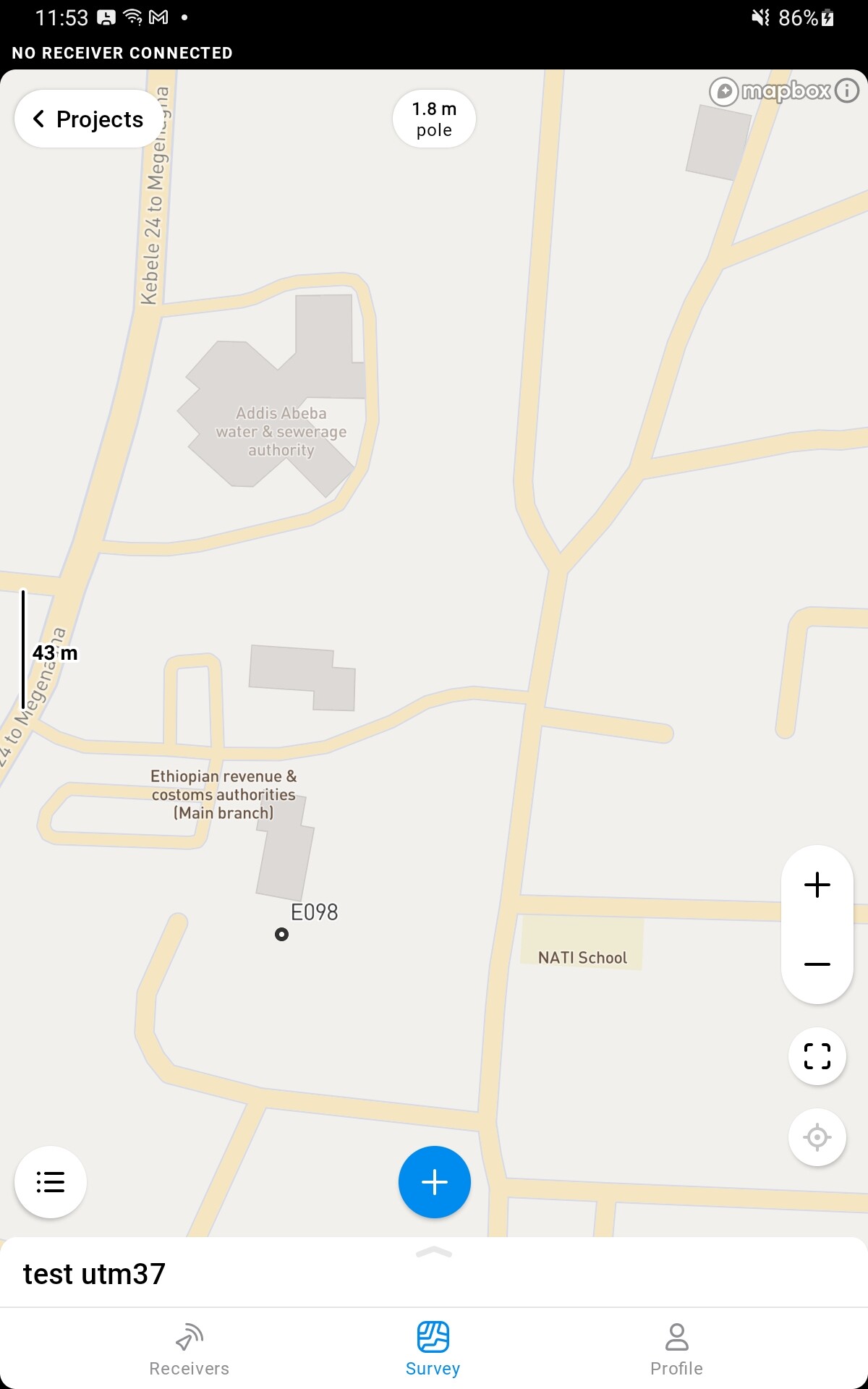
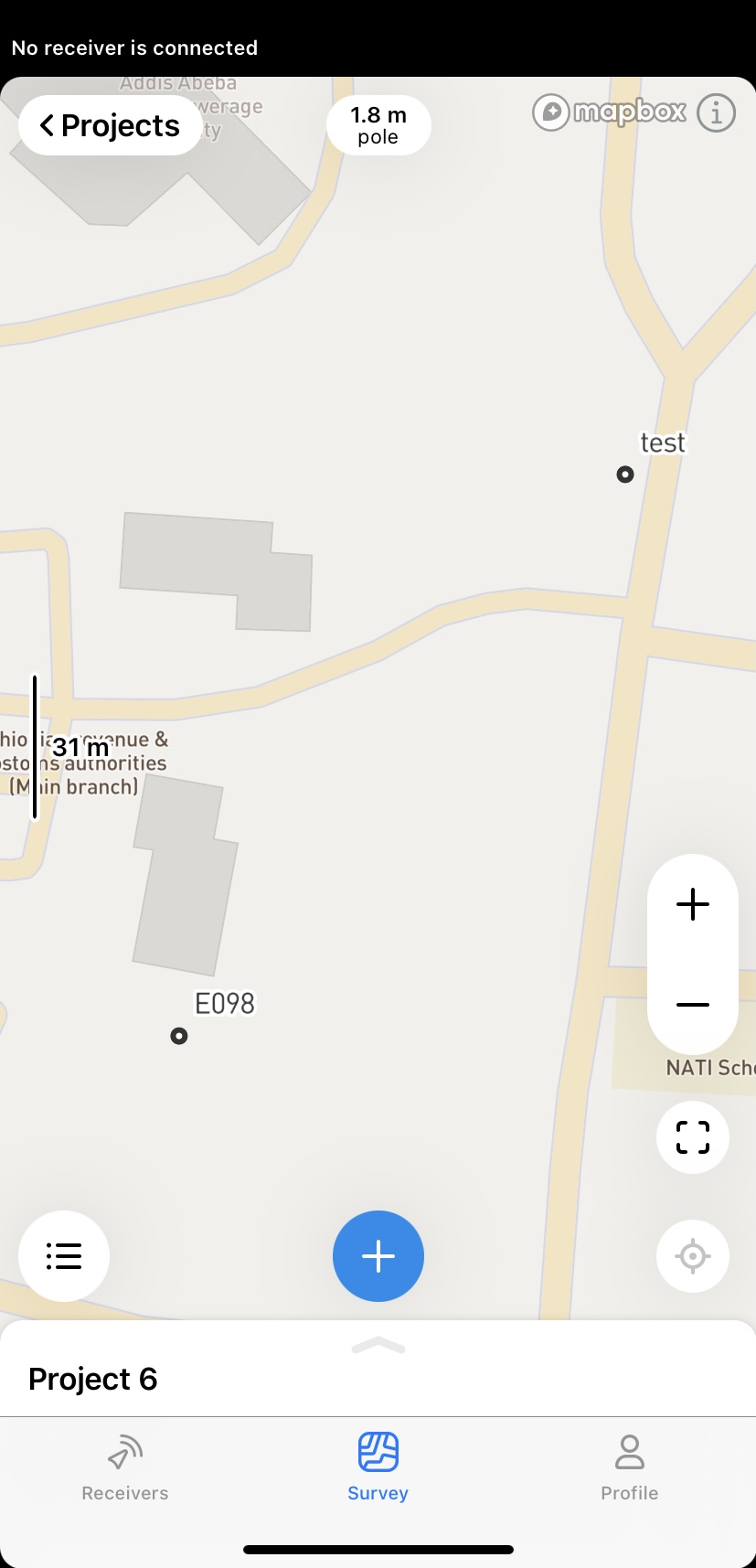
I have created the project in Adindan/UTM Zone37N and Import the CSV as per your guidance. Before proceeding further steps, I checked the location of the imported point, and the point is not where it was supposed to be. I have attached the corresponding CSV files and point locations on Reach View’s Survey App.
Point Location in Global CS [Exact Location]
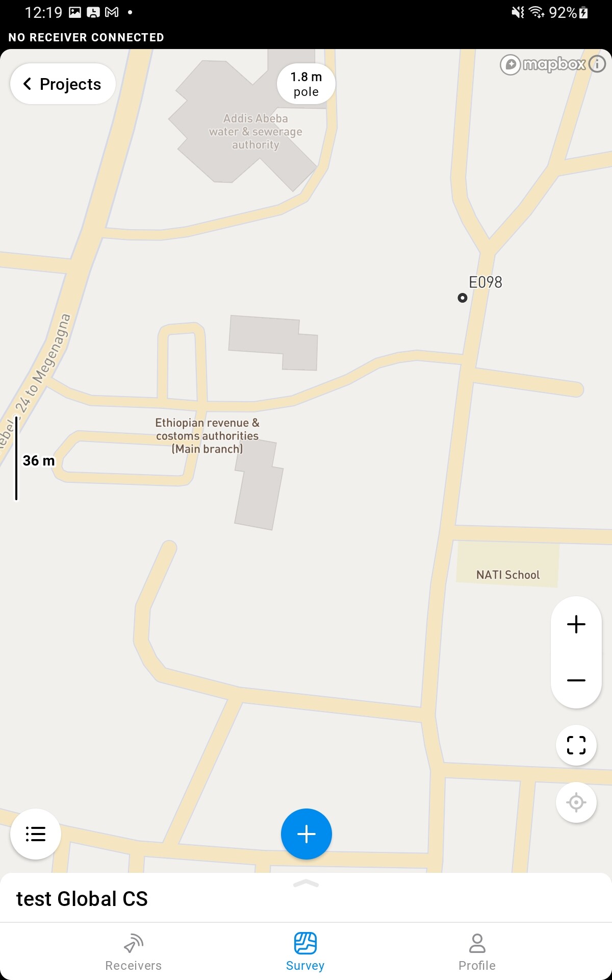
Point Location in Local CS [Wrong Location]
Kind Regards,
Mael
csv files.zip (477 Bytes)
I did some tests and now I’m a lit bit confused. Where did you get the Adindan UTM 37N point coordinates?
I’ve converted the WGS84 point to Adindan 37N and got a different result.
Your CSV coordinates: 477995.846 996327.334
Converted coordinates: 478088.2 996442.635
So I uploaded the converted point in ReachView 3, and it seems it is in the right place.
Also, Global CS is not only WGS84. It means that the project uses the geographical coordinates of the base station.
2 Likes
Hi @anna.moloko,
I have used a standard desktop GIS (QGIS 3.16v) to convert from lon/lat to X/Y and vice versa. I have got the Adindan UTM 37N data from the local mapping institute. When you create the project did you use Adindan UTM zone 37N(EPSG:20137) or WGS 84 / UTM zone 37N (EPSG:32637) ? If it is the later one that is working and the point is in the correct position. But, the data collection must be done with in Adindan UTM 37N(EPSG:20137).
I’ve converted your WGS geographical coordinates to Adindan / UTM 37N via Coordinate converter.
I need more time to check what’s wrong, and I will get back to you with the results.
2 Likes
Thanks for your patience!
We checked all your files on our own and confirmed the conversion indeed works incorrectly. We will continue the investigation, but it probably takes us a while, as it’s quite unusual and complicated. Points are displayed this way because the map treats Adindan LLH coordinates as something close to the WGS84 datum, while the Adindan datum is 300 m off.
The current workaround is creating a custom coordinate system with correct parameters for Adindan. However, the best conversion parameters between WGS84 and Adindan, we found, has 6 m error.
Is there any chance you have accurate conversion parameters between WGS84 and Adindan? Or maybe you can advise an official source where we can get them? If so, we could help you with setting up the custom coordinate system.
2 Likes
Hi @anna.moloko,
Thank you for taking the time to do thorough investigation. We have decided to collect the data in WGS 84 and convert it using QGIS when we need to access the information in Adindan format. Attached is the conversion parameters suggested by the local mapping institute.
Conversion Parameters.pdf (97.1 KB)
Kind Regards,
Mael
This topic was automatically closed 100 days after the last reply. New replies are no longer allowed.