My understanding is that when you enter in local co-ordinates, you can’t do any transforms. Only if you enter in global co-ordinates.
I kind of raised this issue earlier this year when I wanted to use global co-ordinates to do a localisation, but was told no. Even though my EPSG was WGS84 at the time; but I digress.
If you export your original data as a CSV (not PNEZD, the other one which has about 20 columns), you should see global co-ordinates against it. If you then delete the ENZ values and reimport on your same project datum, I would be thinking you should then be able to change your CRS.
Otherwise, maybe try duplicate a point in app (seeing we can do that now) and see if the transform works on it?
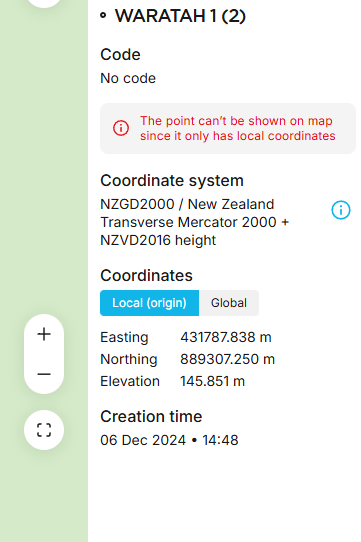
OK that’s weird… Seems like the change of CRS feature is of little use?
So what I did which ended up a better solution anyway, based on your advice.
Open the 2129 Project. Export all points as CSV.
OPen the csv delete all Easting Northing Elevations values.
Create a new project based on 2193.
Import the CSV file.
Hey Presto, what I wanted but in a new project, so totally perfect. Why o Why the feature that is supposed to do this, doesn’t do this I don’t understand.
If you needed the Elevation, you could have kept that in there [edit: if the height before was not converted to an ellipsoid height in the global parameters], but sometimes the actual height is different between datums if they use different ellipsoids.
Thanks for your email! It looks like Joel’s suggestion helped, so let me explain how it works:
We always keep the original coordinates you entered exactly as they are. The system then calculates the missing pair of coordinates. Since you entered local coordinates, it calculated the global ones for you.
When you switched the project’s coordinate system to EPSG 2193, the local coordinates stayed the same as expected. The system recalculated the global coordinates. The points didn’t show up because the recalculated global coordinates likely ended up outside the valid range for EPSG 2193.
When importing the new CSV with global coordinates, the system just calculated the local coordinates in EPSG 2193. So, this was the right approach here!
The coordinate conversion flow always goes through having the geodetic coordinates and after that you can move to any projected coordinate system. It is not something visible but it is there.
If in addition to making a conversion, you want to do a coordinate transformation, you must go further, adding arriving to XYZ coordinates to make the displacement of the geocenter and then calculate the new
LLh coordinates to finally make the projection in ENH. This is something that seems so simple, but it is not so simple, but you can do it back and forth.
XYZ>>>LLLh>>>ENH>>>enu =Geocentric> Geodetic> Projection> Local System
XYZ<<<LLLh<<<ENH<<<enu =Geocentrics <Geodesic <Projection <Local system.