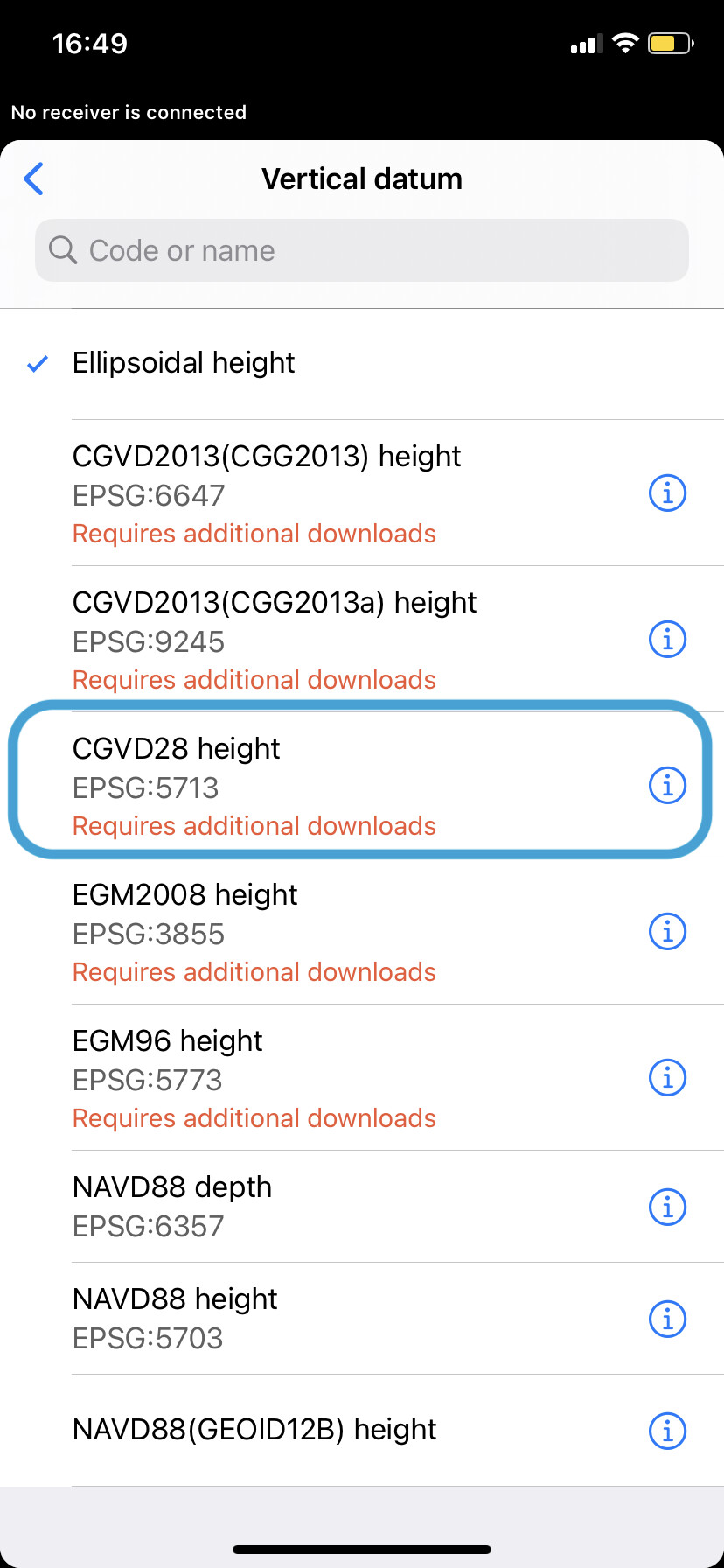
In western Canada, the geoid CGVD28 height (EPSG:5713) is an important geoid for use in hydrographic surveys. For example, the vertical datums used at Water Survey of Canada hydrometric stations are based on this geoid.
Unfortunately, ReachView 3 (firmware 28.4) does not include CGVD28 height (EPSG:5713).
I typically work in NAD83(CSRS) / UTM zone 10N to NAD83(CSRS) / UTM zone 14N.
It would be great if CGVD28 height (EPSG:5713) were made available in ReachView 3 for the above UTM zones.
Hi @JoeSixPack,
I’ve just checked this geoid is available in ReachView 3 for these UTM zones:
What’s the version of ReachView 3 itself? As I remember, this geoid was there for quite a long time, but just in case.
Many thanks for your assistance Svetlana. Now that you have pointed me to the geoid CGVD28 height (EPSG: 5713), it reminded me that, like you have pointed out, there is a version of CGVD28 available in ReachView 3. However, when I go to download the version available, unfortunately, the only version available for download is for the 2010 epoch. Whereas, for Saskatchewan, we use epoch 1997.
Here is a link to the CGVD28 HTv2.0 (1997) geoid.
Here is a description of the various versions of CGVD28.
Hi @JoeSixPack,
Oh, I see. Thanks for the explanation! We’ll consider adding the HTv2.0 1997 geoid model in future updates.
Thank you.
That update will be greatly appreciated.
1 Like
I noticed the HTv2.0 1997 geoid has been included with the latest update to Emlid Flow. This update is much appreciated, as it means I can work in that reference system in the field. Thank you.
3 Likes
Hi Joe,
You are right – the CGVD28(1997) height was added in the Emlid Flow app. Thanks for posting the update in this thread! I believe it’ll be helpful for others.
1 Like