


I am interested in reach rs+. I am currently doing a photogrammetry project along a stretch of road underneath a flyover. I am taking continuous photos using sony a7rii mounted on a lorry driven at speeds of 15km/h and using phone gps to geotag photos taken. However, due to flyover above the road, the gps drifts 5-30m. This causes problem forming 3D model in Pix4D. Can i know if reach rs+ is suitable to geotag the photos taken and provide accuracy of around 1m?
Hi @woshiboon1992,
All GNSS receivers require a clear sky view to detect satellites and calculate a solution. So, I’m afraid that in the case of surveying under the flyover, such devices can’t provide you with good results.
As far as I know, Pix4D software can form a 3D model without geotags. This model will be with arbitrary coordinates, with no scale and no orientation. However, it should be possible to add scale constraints afterward.
1 Like
I’m not a Pix4D user, but it is possible to delete geotags from only the photos that are under the flyover (just the ones with bad coordinates) and would the software be able to use those pictures and blend them in with the rest of the images that have good geotags?
p.s. If you can afford RS2, I think you’ll get more ‘good’ coordinates near the flyover than you will with RS+. (M2 would also be a good choice, but I would do research on the best antenna if going with M2. A standard style antenna is probably better suited than the helical/omni-directional type for this particular case where you intend to drive under something.)
Just for the non-native English speaker, what is a flyover?
I am guessing. But I assumed that: flyover = overpass (highway overpass)
This is what I am thinking:
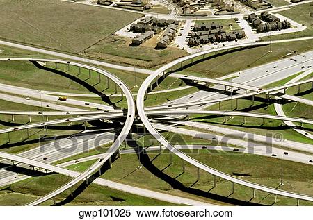
More of a ‘drive-over’ than a fly-over, but I guess there’s air underneath the concrete. 
3 Likes
This topic was automatically closed 100 days after the last reply. New replies are no longer allowed.