I have a (probably naive) question. As I’ve posted elsewhere we’ve been running surveys using two RS2s. One thing we did with our new setup was attach the GPS to the ATV (with the survey equipment 6 feet behind).
The program that collects the GPS and survey data was supposed to factor in the offset but now we’ve realized it didn’t. Are there any easy ways to shift or re-calculate the coordinates to factor in the offset? Part of the challenge is we weren’t always moving in the same direction.
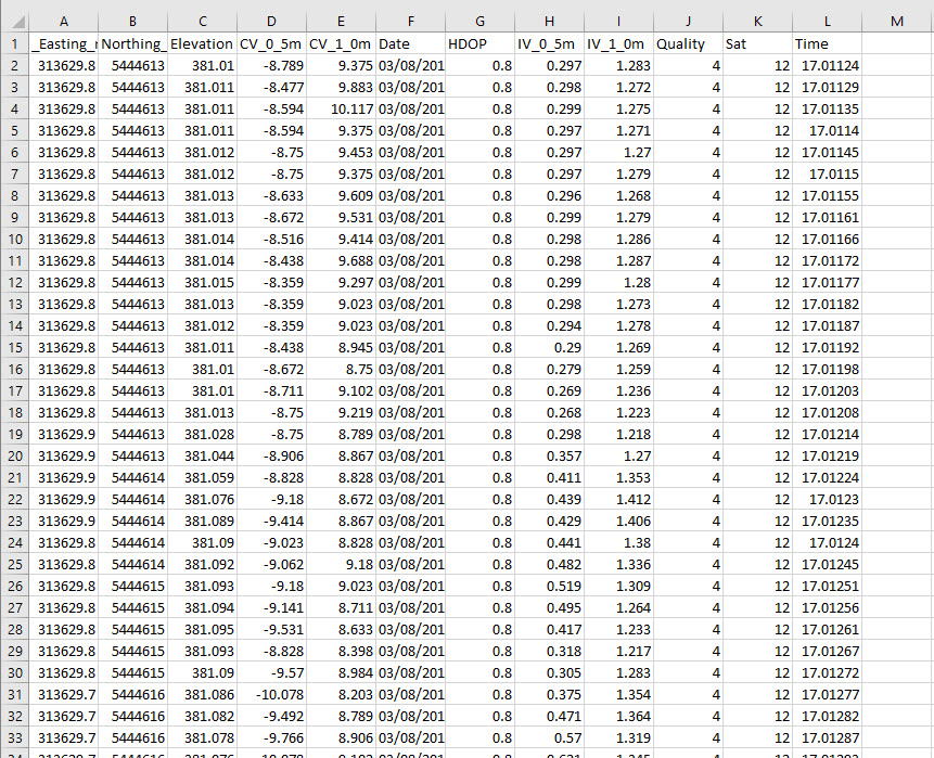
I have a script which applies an offset based on the heading retrieved from the pos track file. That might solve your problem?
The question is whether it is possible to timesync your points with the pos data. If you have used the Reach interface to collect the points I also have a script to process the survey.
Why not take a weighted average of the last n lines and derive a heading from that, then apply your offset against that heading. It is a little bit of trig, and not too hard to implement.