


Well, have received some info that may be causing all my problems. All our CRM,s are on GDA98 and we have moved 1.8 m NE over the past 20 years. Australia is moving to GDA 2020 over the next two years and any GDA 98 datum will need to be transformed to make PPP relevant. This will explain the distortion in heights and locations. Will process tomorrow’s data regardless to try an get an established datum.
But are you at all able to get a fix solution (q=1) from your files?
I wasn’t (could even get a q=2 solution), and then the results is of course not to be trusted.
Did you see my point about the wrong coordinates in the raw data?
Regarding L1 vs Multi, I don’t think that is your issue.
Try taking base stations that are within 0-100 km. Process the same station as the rover using Multi frq, and then L1 only. On most cases, the position is different by a few millimeters, sometimes even in the favor of L1.
Yes, I am able to get q=2 so far. The wrong data was an anomaly I think for that data set. I have not been able to get q=1 to date.
On a different note, if a GDA 98 datum is used for RTK, is the point collected in GDA 98 or ECEF position which would be GDA 2020. The only positional error being the distance of the base line?
Hi Denis,
Have you figured it out? What about another data collection result you wanted to accomplish? Is it alright?
I am working with similar problems in Queensland and am trying to get a bulletproof workflow that will take into account epoch corrections for GDA 94 and 2020 I am doing tests now over published marks and converting to WGS 84 before setting as known marks then converting back to GDA 94 for comparison with published data. The key is to know when and how each coordinate was derived. I am using this tool.
but welcome any advice others may have.
Hi Dennis sorry i didn’t see this a few weeks ago I am working with similar issues.
Did you try Auscors
http://auscors.ga.gov.au/status/
Just remember to put your address as the state where you plan most access since a general account may not access all stations.
I connect to this via this using a external telstra dongle as a hotspot I have also found that connection via ip address has less issues than the reach app on an ipad. It will also let me switch between rover and base at will when setting up.
Hi Ed,
Im going to try again over the week or so, to see if I can get it to work. Had to give up trying for this job and used aeropoints instead. I would like the option to be able to log base stations where there is no correction network and use pp to get a fixed result. We will see.
There is no need for such a long session if you will take the opportunity afforded by the VRS.
I checked how PPP accuracy would be with IGS (4mm, 13mm; ell. h=26mm; 1sigma 95%).
But you have Australia’s CORS after all.
In my opinion, a session of 15 minutes is enough. But I advise against generating it yourself.
Denis_VRS.pdf (90.6 KB)
vrs11940.pdf (141.2 KB)
1 Like
…and i thought my baseline of 480km was on the edge 

2 Likes
Now, if the program would then just stop crashing 
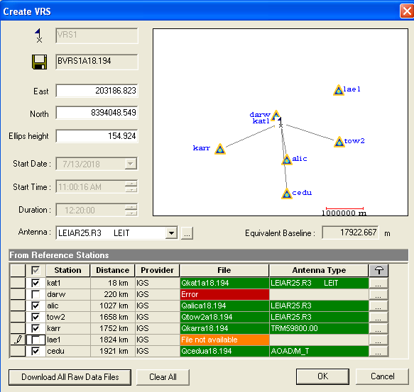
At the end of my comments to this thread, I planned to include postprocessing to reference points from the Australian network. But I did not get access to them. In this situation, I enclose the proof that the generated VRS from IGS gives the final result after a 15-minute session.
2018/07/13 09: 49: 36.000
2018/07/13 10: 03: 49.000 Q = 1
raw_201807130948.pos (6.1 MB)
Just as a follow up.
Working in Queensland Australia I have found if I stick to known points that are GNSS sourced I am getting consistent and good accuracy checks/base locations. This is when working with all corrections via auscors in GDA 94. So far I have seen little variation if I convert published data which is in GDA 94 to WGS 84 and or if I input control in as GDA 94 and thus get a “false” GDA 94 output. The key issue is isolating and not using uncorrected PSM’s. Here adjusted and thus usable points are labeled as having a QLD ANJ 18.07 adjustment. Using Queensland globes csv export feature I now also have a good electronic workflow that will allow me to load all PSM’s within the project area. From this I can locate known marks confirm and accuracy against each other or via Auscors. My projects typically cover 50-200km2 and 2-4 base stations so cross checking between points is a simple process to add into the survey plan particularly if they are pre loaded and I can use the stake out option.
In short check the source of the PSMs data and use a secondary means to verify that its location corresponds to the published point. Good practice would also be to visit each point multiple times and add other checkshots to known points.
This topic was automatically closed 100 days after the last reply. New replies are no longer allowed.