Hi, I am trying to get some clarification on the various elevations that are returned by my RS2 through Emlid Flow and the base observation file. With previous survey equipment, the project CSV export would include the Base position used for the RTK survey, even if you’re using a “Here guess” or XX minute observation to get a “best guess” position. Emlid Flow will export out the Base position, but I do not know if this is the the APC, ARP, or if it takes the instrument height into consideration (I am 99.99% sure that it doesn’t).
If I have a Base Elevation of 1,000.00 feet in my CSV and an instrument height of 5.00 feet, does that mean that I need to subtract 5.00’ from 1,000.00’ to get a benchmark elevation of 995.00’ or do I need to include the offset of 0.44’ (134mm) to get the benchmark elevation of 1000.00-5.00-0.44 = 994.56’?
Also, I can’t seem to find a way to export out the base position without manually copying it from the CSV. Searches on the topic indicate that it’s a feature request from over 5 years ago. This seems like an important piece of data that should be exported along with the information.
I’m making the assumption that you are asking about the base settings reported in a rover’s observation file? If so, it depends on the base setup.
If you are using a commercial NTRIP service, the elevation of the base is irrelevant for you. The corrections are the only data that the rover needs to know. The NTRIP base will be it’s antenna phase center, and it’s elevation MSL doesn’t really matter for your rover’s corrections. It’s tied to the published coordinate system without input or adjustment on your end.
If, on the other hand, you are the one operating the base, and it is another receiver set up on a known point and sending correction over LoRa, Local NTRIP, or Emlid Caster, then you set up the pole height in the base settings and that will be applied, along with the distance from ARP to APC so that the corrections it is sending reference the ground point. You will not need to do it again, nor make any adjustments to your rover data because of it.
Hi Dave, I think I know you from the UAVmapping forum, but I digress.
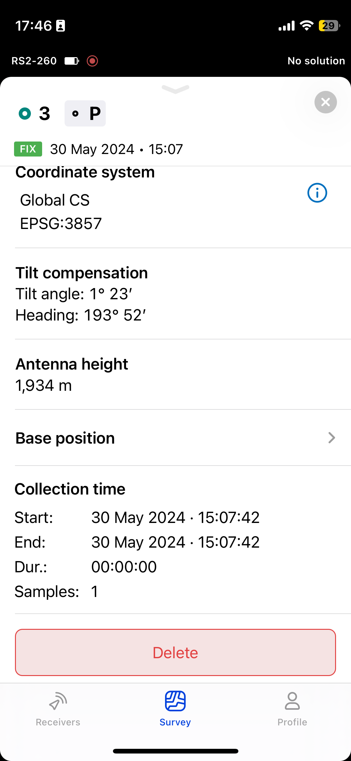
I’m specifically talking about the CSV export that you get from Emlid Flow or 360.Flow as a project export. The CSV has 36 columns and columns W, X, and Y are labeled Base Easting, Base Northing, and Base Elevation, respectively. The Base Elevation that is reported in column Y cannot be the ground elevation that has been adjusted using the instrument height because it’s 5+ feet higher than shots taken on the ground around it. I am trying to determine if that elevation is the calculated ARP or APC so that I can calculate the assumed base elevation (since there’s no other way to get it that I can find).
Thanks for any help and I hope that makes things clearer.
Hi Jason. Perhaps you are the Jason that helped me get started with Metashape long ago and then started the uas mapping Reddit ? If so, great to “see” you!
Looking at one of my projects, the CSV should be showing the elevation of the base’s APC. For my stockpile jobs, I just stay in geographic CRS, so my northing/easting columns are blank. But the lat/lon/ellipsoid columns align with what I entered for my base. For the base point, I enter a pole height when I set up the base. In the CSV, Emlid is adding that pole height and the .134 ARP/APC differential and listing the APC.
Thanks for the help and that does seem to make sense. I was out the last couple of days and I made sure to shoot the ground as close to the benchmark as possible to make sure I’m seeing the same thing.
Replying for anyone else that tries to figure out what the Base Elevation refers to in the CSV exports. I tested it by taking shots around the base at the same elevation, so at least this time I knew what the “real” elevation should be. The Base Elevation that is in Column Y of the full CSV export is the elevation of the APC, which is the antenna phase center. The bottom of the RS2 is considered the ARP or antenna reference point (134mm below the APC for the RS2) and that is where you are instructed to take your instrument height which is the distance from the benchmark to the bottom of the RS2.
So, if you want to get the elevation of your benchmark, you would need to take the Base Elevation (Column Y) minus the distance between the APC and ARP (134mm for the RS2) and then subtract your instrument height (distance between the ARP and benchmark).