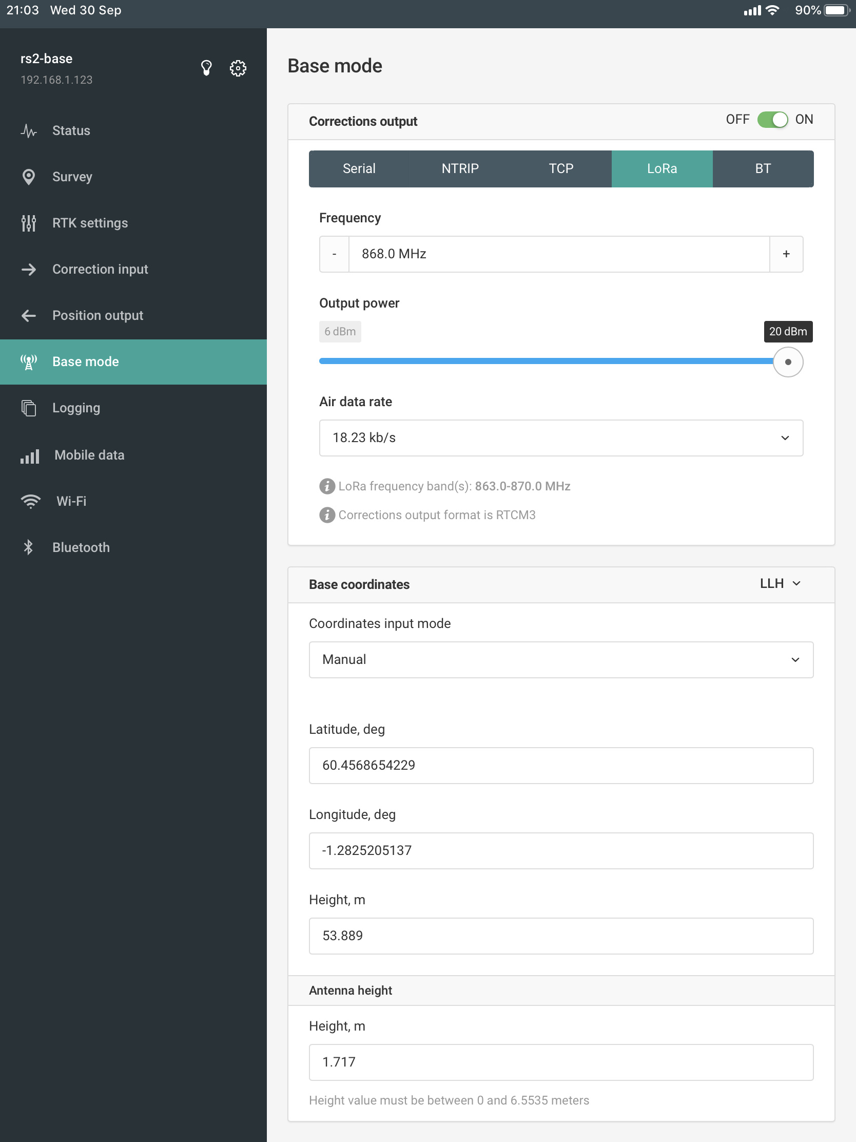
We were collecting ground control points yesterday with our base placed over a known point. As usual we entered the manual coordinates, but in the past I have always added the antenna height to the height field in the LLH entry. This time I used the actual mark height and added the antenna height (see screenshot). When collecting the survey points the base antenna height was not accounted for and all our readings were around 1.717m below the correct height. Easy enough to fix, but what’s the purpose of this field if it doesn’t account for the antenna height during the survey with the rover?
Both base and rover are RS2 units on dev firmware 2.23.6.
I think I have just answered this looking at another post. My rover is actually on 2.23.8 dev and the base 2.23.6 dev and it appears the antenna height is not accounted for in this configuration.
This is troublesome for those that use it out of the box or have no expertise in updating firmware. I have not read anywhere that all units must be running on the same firmware.
may I know what is the post you were referring to? Which is causing the problem 23.6 or 23.8? Why are you running on dev firmaware? Any advantage over stable release firmware? Just want to know reason. Thank you.
Hi, the post is here: ReachView v2.23.9 is out for all devices - #73 by dave.ecometrics right at the bottom. I’m using the dev release for the RS2 as it provides functionality that isn’t available in the mainstream branch, and I’m using ReachView 3 in tests which requires the dev firmware
I certainly had height errors when the base was on dev 2.23.6 and the rover was on the mainstream release (2.22.x), I thought they were both on the dev firmware but that wasn’t the case. The height error was consistent as the project had not accounted for the antenna height in the manual entry, so very easy to fix.
Since upgrading them both to 2.23.9 the antenna height is now accounted for and the project height measurements are correct.