


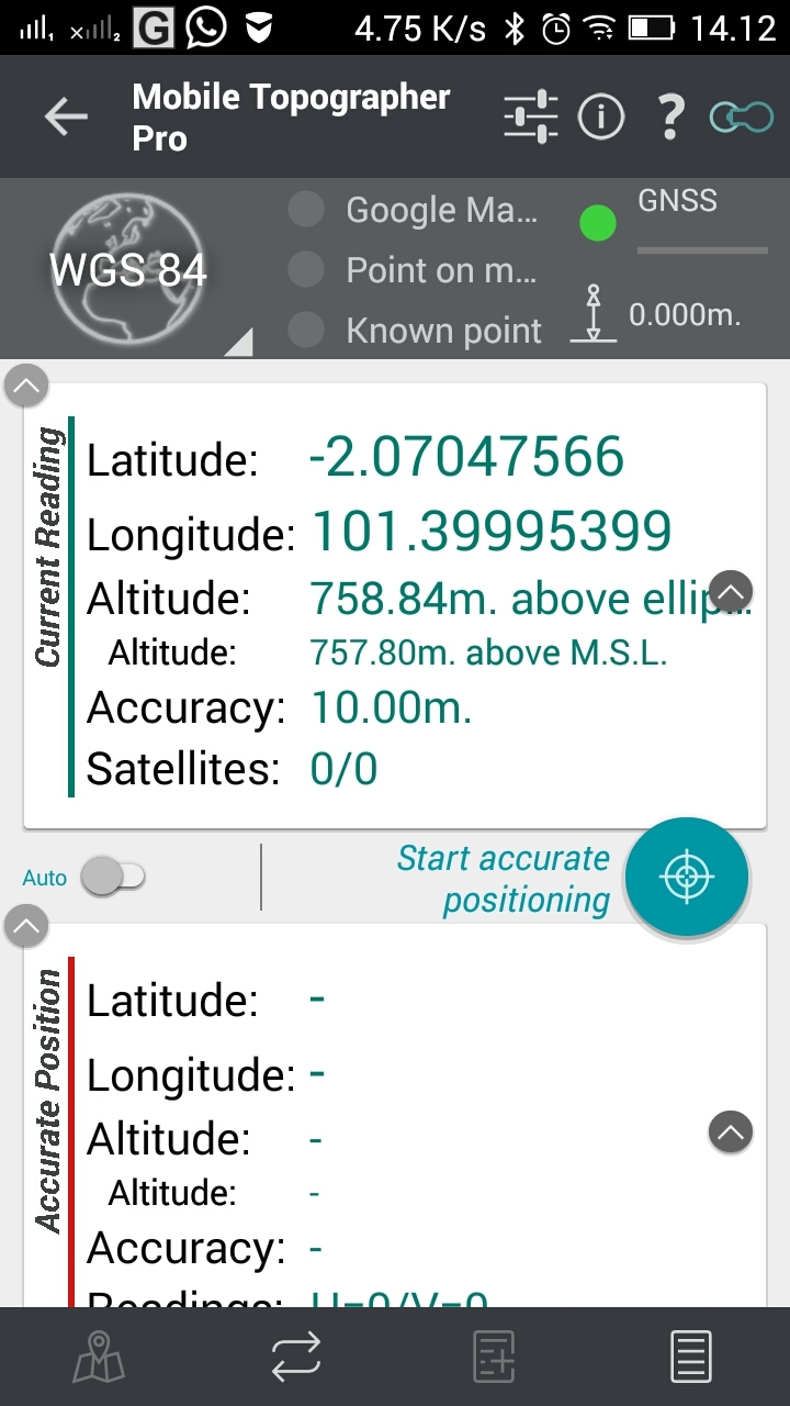
Hi @TB_RTK, I have try bluetooth for output solution to my android, then try with topographer pro, I can received the coordinate. Then open autocad 360, I couldn’t received the coordinate. Would you kind to help me please, make a short video tutorial step-by-step to use autocad 360.
Thank you
Hi,
If you got it working on Mobil topo, it should work on autocad360
I usually have Lefebure running in the background, it will notify when it is fixed or float in the top left corner.
For Autocad, if you have not georefered the file, you need to set refrencepoint first. Either by
- Stand on a known point where you (gps device) and real world location line up. E.g on a corner of a building that both shows up on autocad drawing and you can stand and measure on the ground.
Or
2.If you cant stand and place your self over this known point, you can set it manually under gps/geo setting.
I have sent you a short videoclip. Link below
btw, it doesnt actually shows coordinates, when gps button is pressed , the red bubble will follow you on your drawing.
https://dl.dropboxusercontent.com/u/44492766/2017_01_30_11_21_42.mp4
1 Like
Thank you for your attention with this video @TB_RTK, It’s work with my internal android GPS. I will try it soon with my Reach RTK.
Regards
Also worth mentioning this