Fixed the crash when connecting devices using Android9 caused by the API level change.
Fixed the problems that Nuwa is unable to obtain HTTP permissions using Android 9 caused by the API level change, including inablity to perform software automatic update and online map display.
Thanks again for Tersus technical support
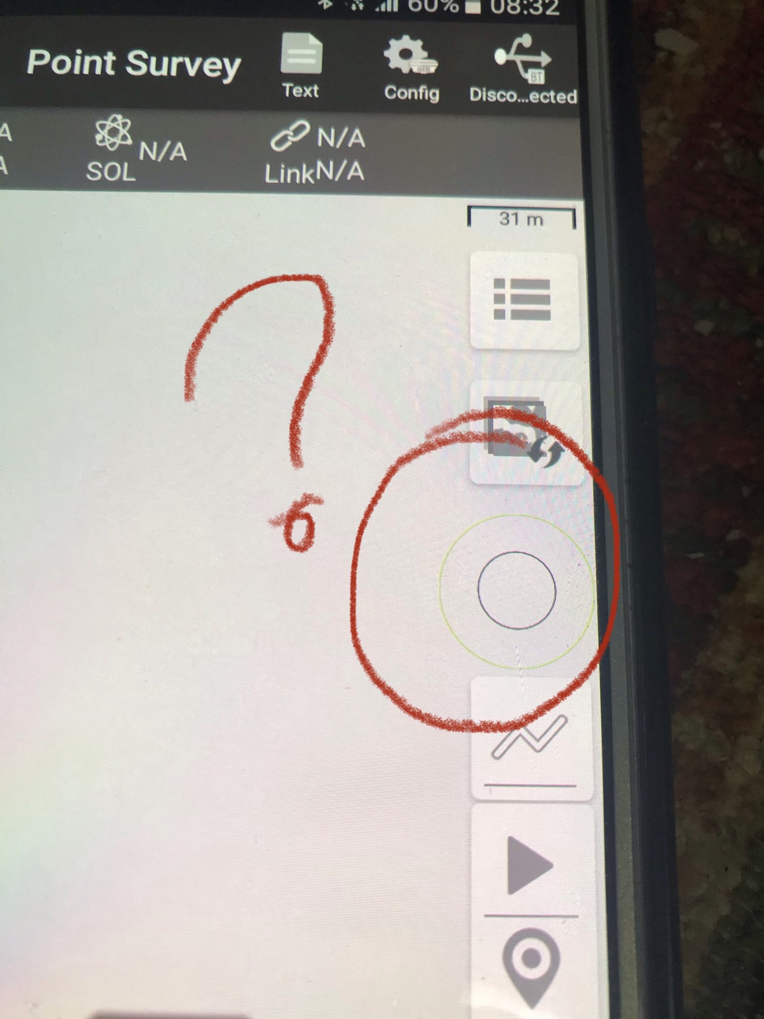
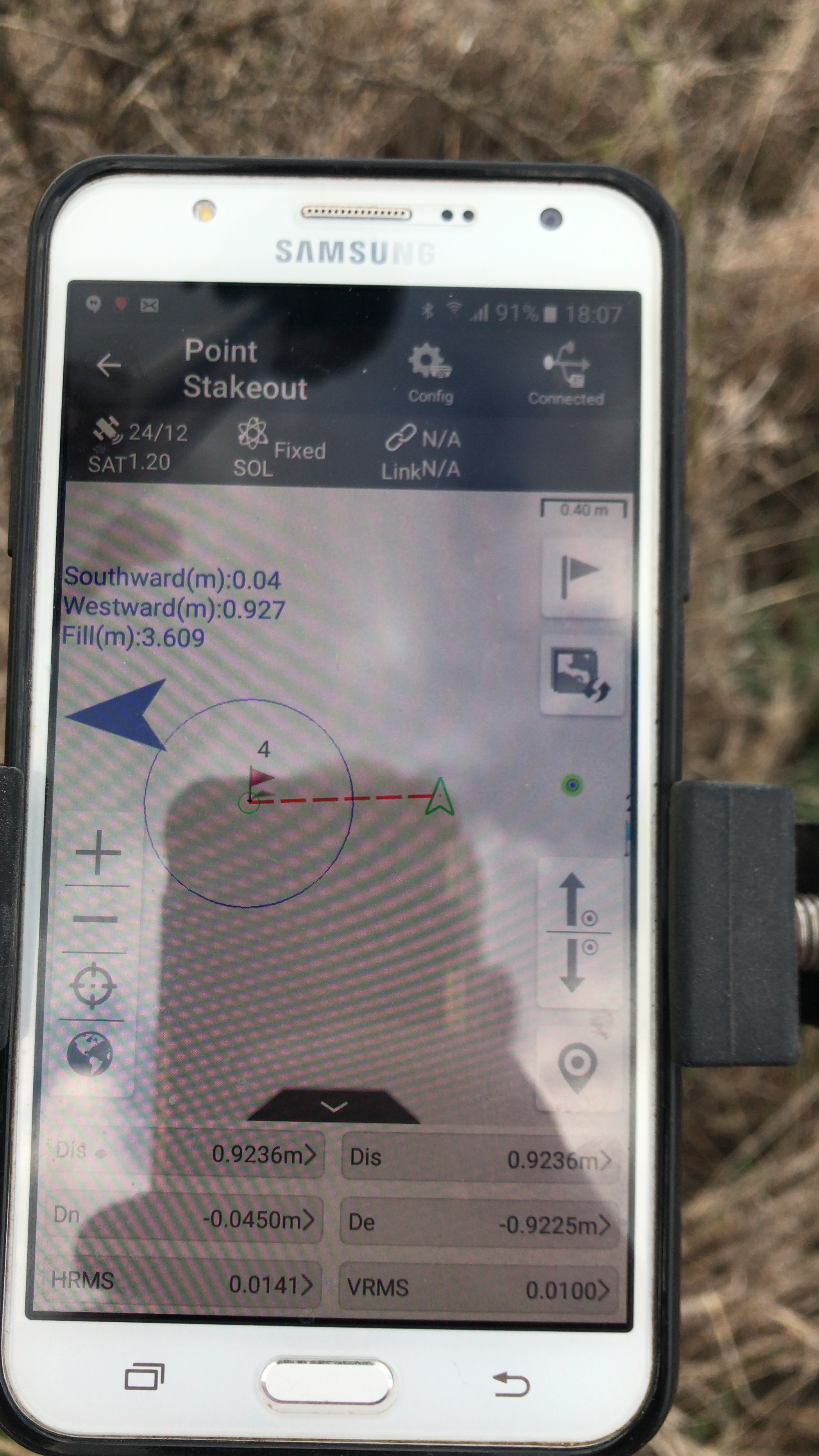
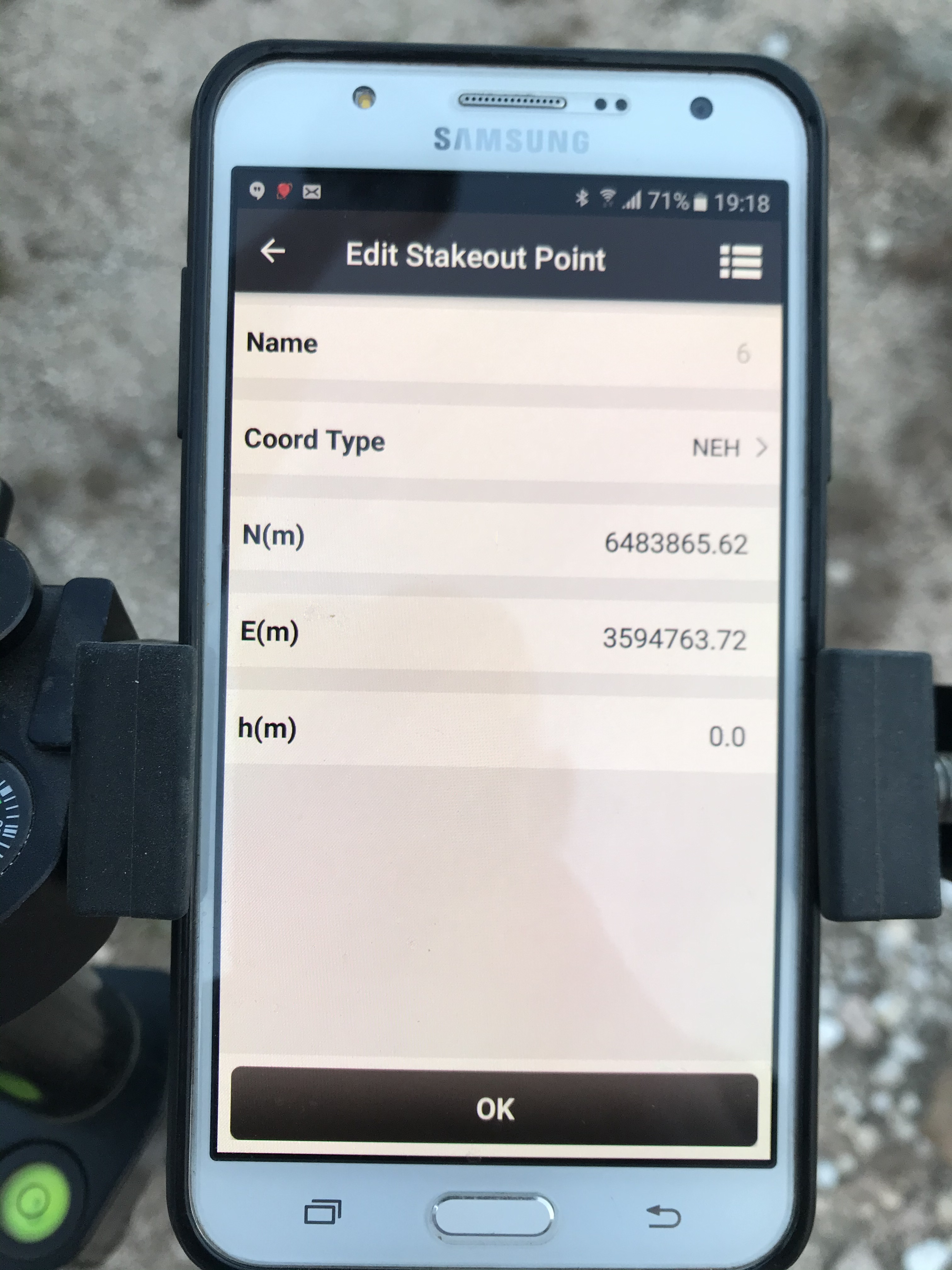
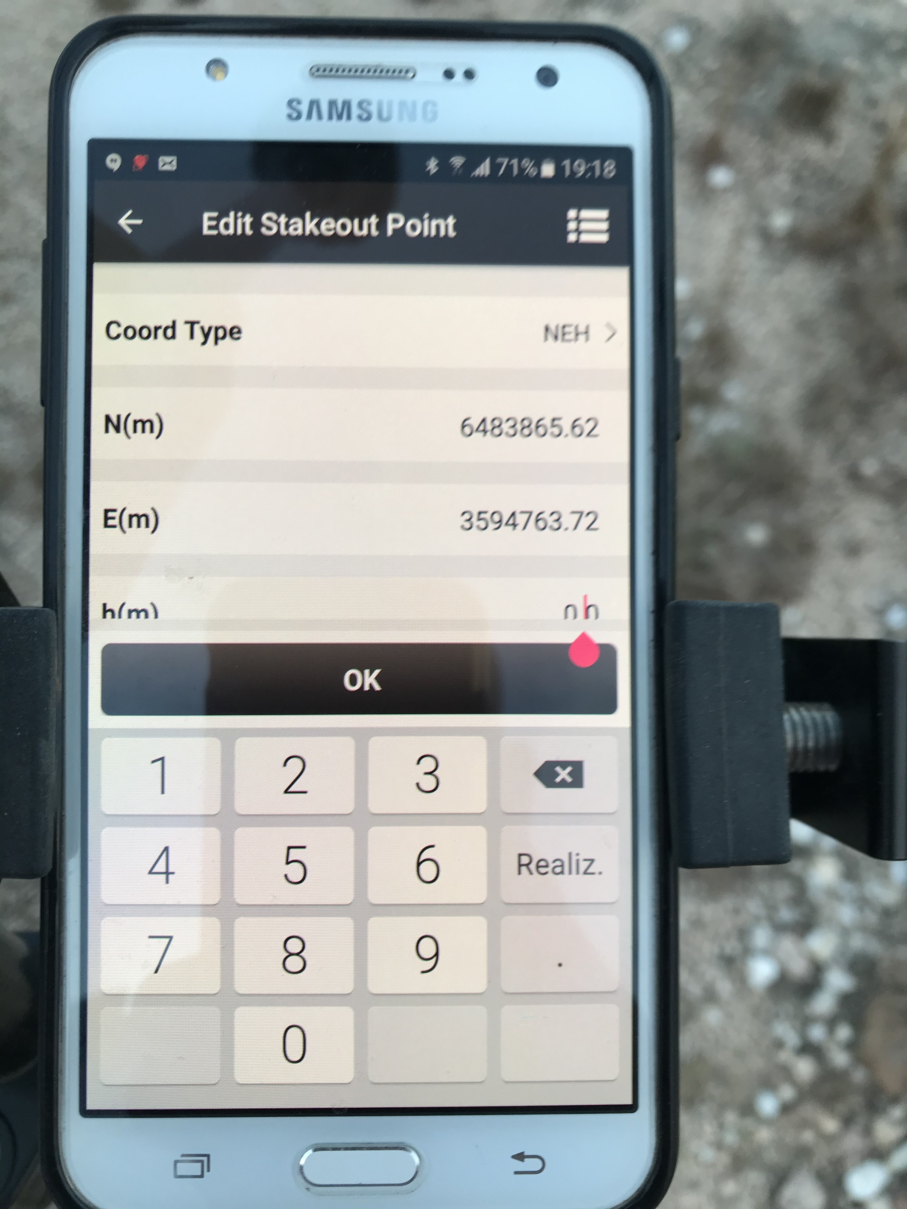
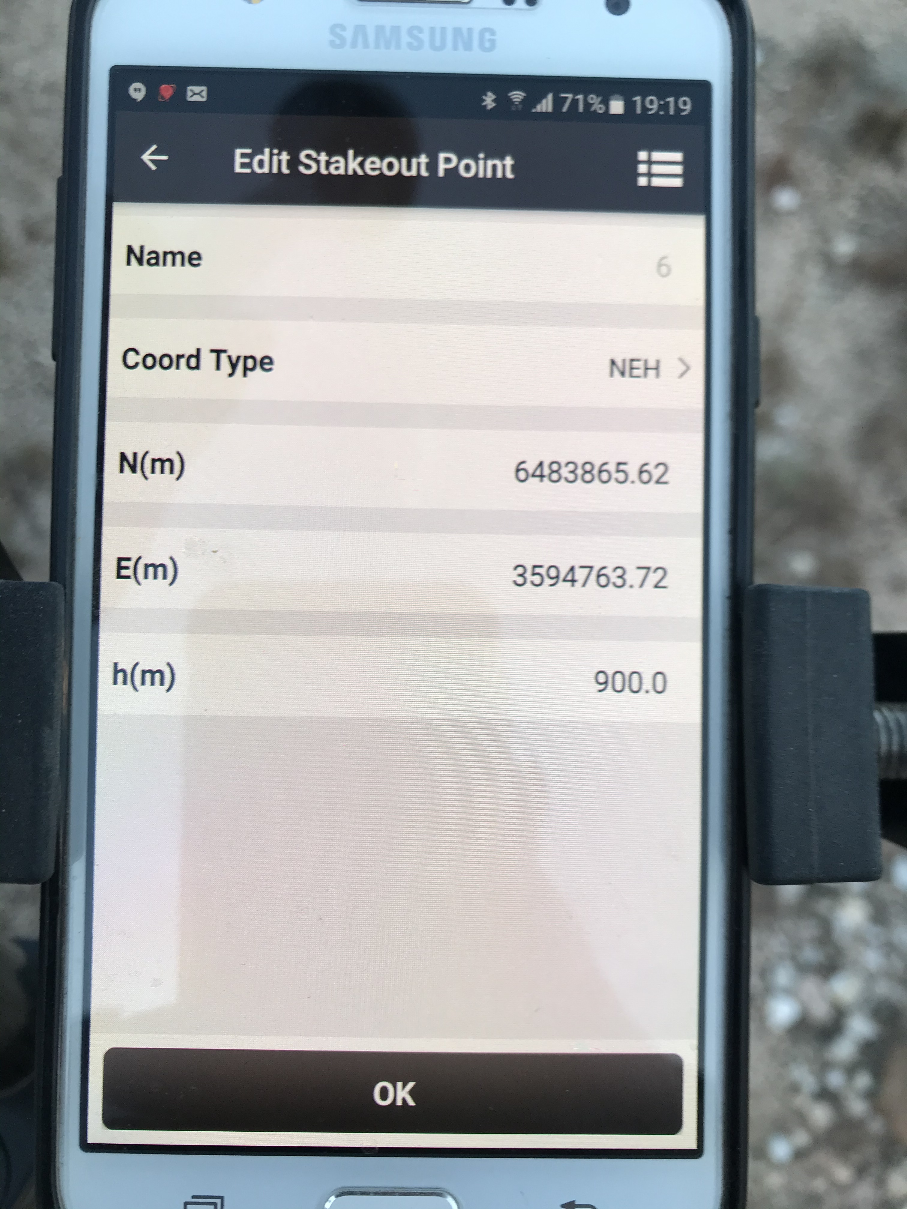
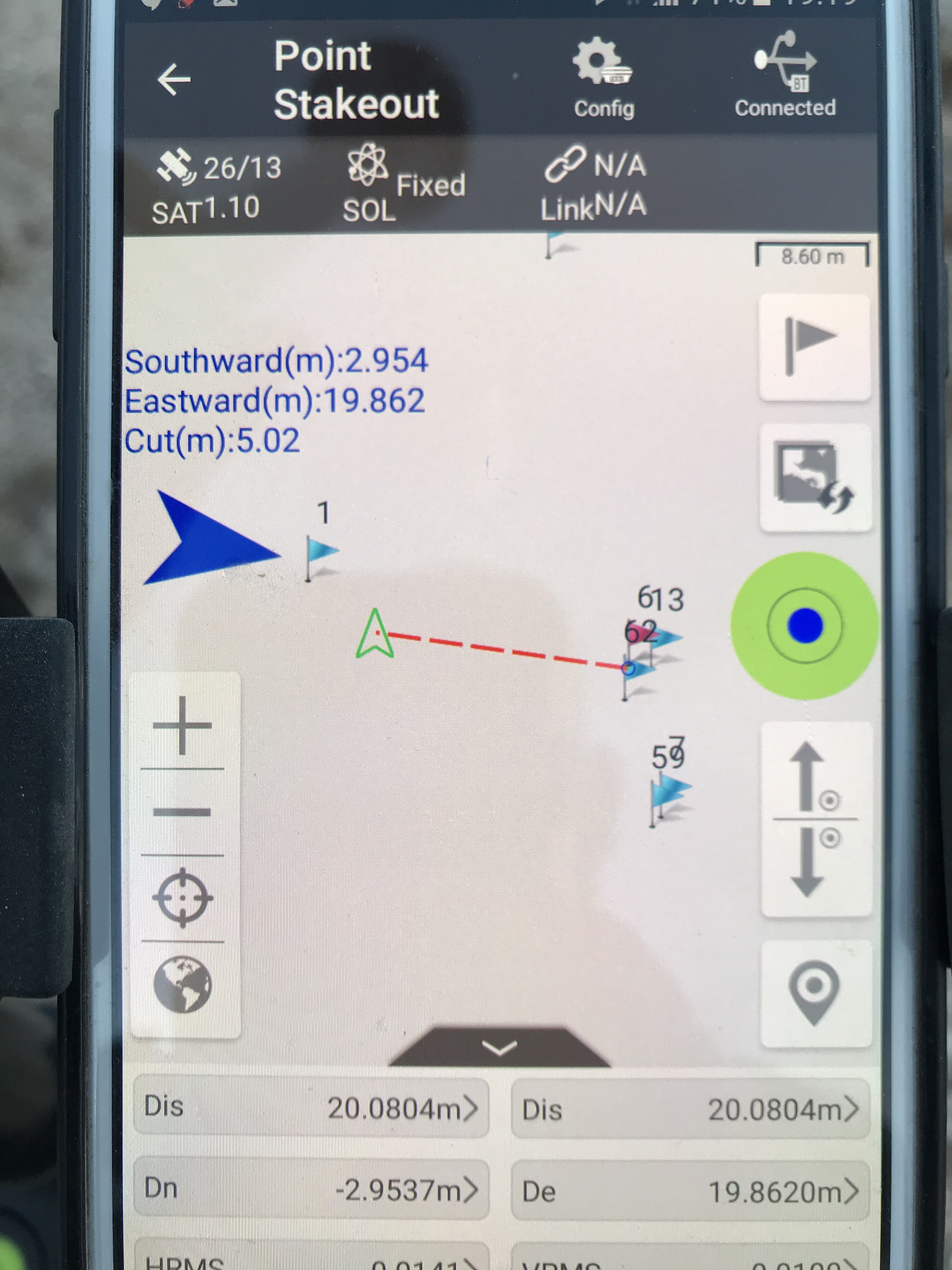
The latest version of Nuwa App in staking does not show me azimuth, it always shows zero. When the points are imported from a file, I don’t recognize them for use in staking, I have to use the option edit point by point and without making changes give OK. They can check if the same thing happens to them. Thank you.
La ultima version de Nuwa App en replanteo no me muestra el azimut, muestra siempre cero. Cuando los puntos son importados de un archivo no los reconoce para usarlos en replanteo, tengo que usar la opción editar punto por punto y sin hacer cambios darle OK. Pueden chequear si les sucede lo mismo. Gracias
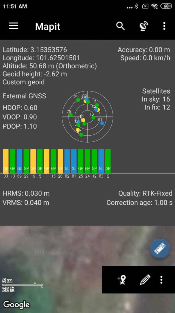
I had the same doubt that you expose here. After tryng with several apps, I strongly recomend “MAPIT GIS” an Android app you can find in Play Store.
There is a free versión and a pro versión for 18$. The difference between them is that “pro” versión promediates positions in the same way ReachView does. MAPIT GIS allows you to work with data dictionaries, so you can attach attributes an photos to your points. Lot of videos and papers about “how to work with the app” in its web site.
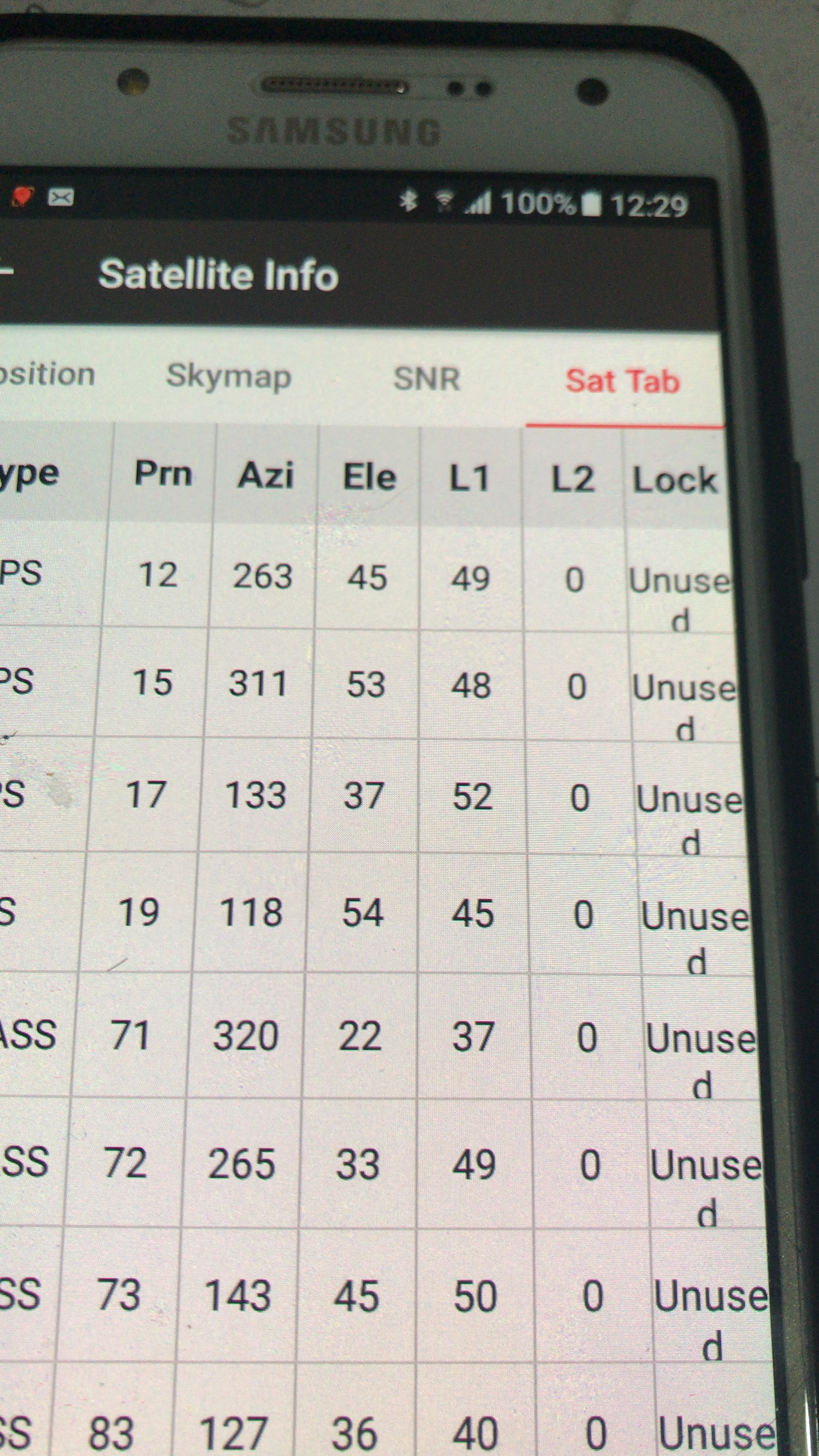
@agrimgalina If you use RS2 L2 is just not decrypted you have to know that you use NMEA so all rtk job is made by ReachView Nuwa App just convert a longitude latitude and ellipsoid height and show status sent by ReachView also, if the status show “fixed” the accuracy is centimetric, in other words Nuwa app plays the role of a translator when using NMEA.
A bugs above are reported and will be fixed in the next version ASAP.
I contacted them and was told that they could not make it work for the RS2, that they had to do some sort of update. So I am still looking for software to use with my new RS2 s.