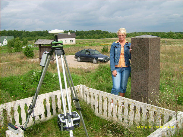
The Internet has taken over and you can always find whatever you need to know online. However, books are still a valuable resource of information and simply a great way to spend an evening. Emlid team gathered up 5 books for land surveyors they liked the most. Textbook science or thematic adventures? It’s your call!
Geodesy By Wolfgang Torge and Jürgen Müller
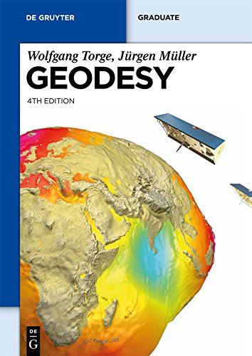
Classics, as some readers might call it. Geodesy is balancing on the thing edge of the educational textbook and illustrated guidebook. This book is more suitable for those who are interested in the basics and scientific sides of geodesy as a discipline.
Geodesy can seem a bit more scientific and less popular in the way the authors introduce the concepts to the reader. However, if you are searching for a ground serious introduction to the topic, this is your choice.
If you feel like reading something more scientific and applied, we’d recommend Springer publisher’s books on geodesy and geophysics – there is a lot to choose from.
GPS for Land Surveyors By Jan Van Sickle
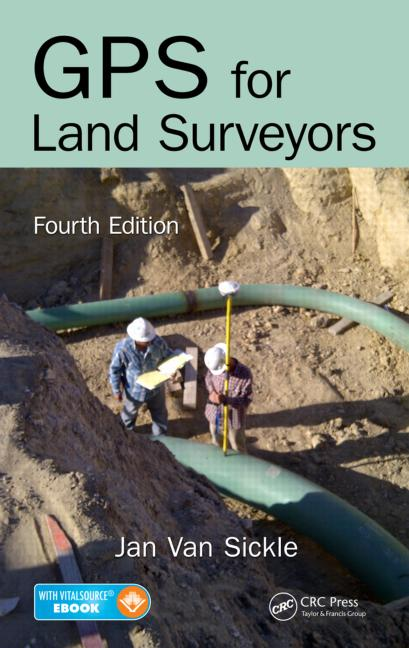
If you’re looking for a serious approach, but less serious than in Geodesy, try GPS for Land Surveyors. Straightforward, structured and clear, GPS for Land Surveyors has been a table book for many surveyors for a long time. This book introduces the subject with no over-complicating neither over-simplifying it.
GPS for Land Surveyors includes the history and recent changes in hardware, software, and procedures of surveying. Less mathematics than in a university textbook, however, much more practical and visual explanation. This is an ultimate guide to techniques used in GPS, starting from design and ending with processing and observation.
Pinpoint: How GPS is Changing Technology, Culture, and Our Minds By Greg Milner
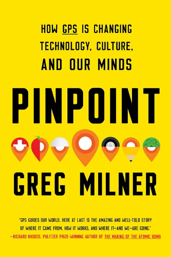
This is what can be called scientific-popular research. A great book starting from a long-time ago history of Polynesian navigators and tracking the navigation systems down to nowadays. This book is not only mathematics and schemes – it’s an interesting journey full of casual relationships between culture, mindset, and GPS. You don’t think there are many of those relationships? Let Pinpoint prove you the opposite.
A fascinating story of a hidden system influencing every aspect of our lives – sounds like a book worth reading.
The great arc: the dramatic tale of how India was mapped and Everest was named By John Keay
Mapping the India subcontinent, finding the true shape of the Earth and measuring the longitudinal arc through the jungle, mountains, tigers, and villages. Sounds like one of Jules Verne’s novels? Well, close enough.
A great story of William Lambton and George Everest, two people who undertook one of the major and ambitious scientific projects of the 19th century. Lambton and his assistant Everest started what was later called the Great Trigonometrical Survey of India.
The scientific contribution of this survey was enormous. A vivid story of a 50 years long survey, full of technical difficulties, adventures, and even discovery of the world’s highest peaks.
Measure of the Earth: The Enlightenment Expedition That Reshaped Our World By Larrie D. Ferreiro
Is the Earth a sphere or is it flattened at the poles? This was the question that bothered the scientific community in the 8th century. It would be the key to the safe sea traveling and navigation, so the expedition to Peru was gathered to find the answer. Their goal was to measure a degree of latitude at the Equator.
A historic saga, a real human drama, and a graphic surveying reflection of the time, Measure of the Earth is full of small details to notice. It represents the surveying techniques of the 18th century as well as the explorers’ personalities, political and scientific context. This book is an engaging historical and geodesic journey to the past.
Have you read any of those books? Or perhaps you have your own recommendations? Feel free to share them!