Reminds me of a old Russian joke I learned. It was originally about the so-called “New Rich” in Russia after the collapse of the USSR. It seems quite timely here. This is a revised version
Two UAV surveyors meet on on a construction site, each carrying their surveying equipment, drones, and cameras. Bob is carrying two Emlid Reach RS’s, a Solo drone, and a smartphone. All his software is opensource, QGIS, Cloud Compare, Visual SFM, etc. All these produce standard models, point clouds, rasters, etc. that can with one click be imported into the software of your choice, including all Autodesk design programs.
Terry, on the other hand has the same Solo Drone (only more stickers), a tablet with a fancy hood, and most importantly, all top dollar processing software that apparently seamlessly integrates with Autodesk software.(Terry’s company uses ARCgis)
Terry looks at Bob and says inquisitively. “What’s that nice looking equipment you’re carrying?”
to which Bob replies. “My UAV and RTK survey equipment for setting ground control points?”
“How much did it cost you?” responds Terry nervously.
“Let’s see, all together around 3000 bucks when you include the tripod and the poles.” Bob answers, adding, “all my software is open source so I have no software expenses on top of this.”
“You fool!” laughs Terry derisively, rubbing his hands together in glee. "I hire a surveyor for ground control points and for the UAV I got the same setup as you and it does the exact same thing and I pay $12000 annually!
I remember trying to understand this joke when we first moved to Russia, and thought it was some quaint nuance of the “Russian soul”  but it seems to apply quite well in today’s construction industry as well. Take it for what it’s worth. Hopefully a little joke doesn’t break forum rules.
I am interested in Opensource solutions as well.
There are opensource options and then there are options that offer free services for small surveys.
Low cost and free.
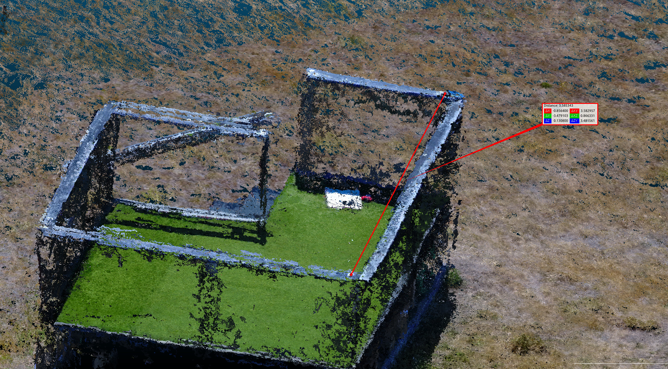
1.I have used mapsmadeeasy.com for this. They offer free image processing for small flights and after that it’s a pay per use so it’s not a big investment to get started. The also have a flight planner for iOS that has given me the best results with my DJI mavic. One advantage with them is that you can use ground control points without stepping into a high dollar software. Also, you can download point clouds, etc.
2. Free-I recently tried CloudCompare for working with point clouds. I was really impressed.
3. Lo-Cost Then there’s Autodesk’s own Recap, which used to be in site scan but I’m not sure anymore. This will process the imagery from your camera and can be used for georeferencing point clouds.Site Scan has been advertising more about an integration with pix4d. I’m not sure about the connection.
https://www.autodesk.ca/en/products/recap/subscribe?plc=RECAP&term=1-YEAR&support=ADVANCED&quantity=1
4. Free-Drone Deploy’s free version(expired trial). My experience has been good with drone deploy but they really limit what you can download in the free version. No cheap solution for ground control points.
5. Free- QGIS can generate contour lines from DEMS (from image processing software). QGIS is a great place to analyze, and convert much more GIS information. shp to dxf, convert coordinate systems, etc.Also hydrology with GRASS plugins, etc.
Okay, I’ve wandered a bit from the topic of the thread but I’d sure be interested in feedback on this and other software.P.S. I work with Autodesk software, Revit, Infraworks, and sometimes Civil 3D a little and I don’t see a benefit in paying big bucks to “integrate” them with your Site Scan software, but in all fairness, I must add that I’ve never seen Site Scan in use, either, other than a few youtube videos.