I see the Float on your device indeed. I’ll just be a bit more cautious to jump to any conclusion for now. First, we need to see the full picture here.
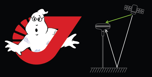
You mention that you survey in the forest. That’s actually kind of hard for any GNSS receiver. This degrades the data quality so it affects the Fix calculation. That’s usually the main thing for Fix issues. You can share your raw data logs with me, of course, so that I can make an informed conclusion here.
Regarding the disconnection, please, make sure your Battery Optimization on Android is switched off. This setting plays hell with the background connection in any app, in ReachView 3 as well. It’s better to keep it off.
I remember from Leica with 11 sats,it took 15 min in Float to get Fix i wet,windy forest.
I thoght that 39 sats and 20 base ,should make a diffence. A friend at Sbg ab,say it is refections from trees. Modern recievers does not seems to fix the problem today,than before.
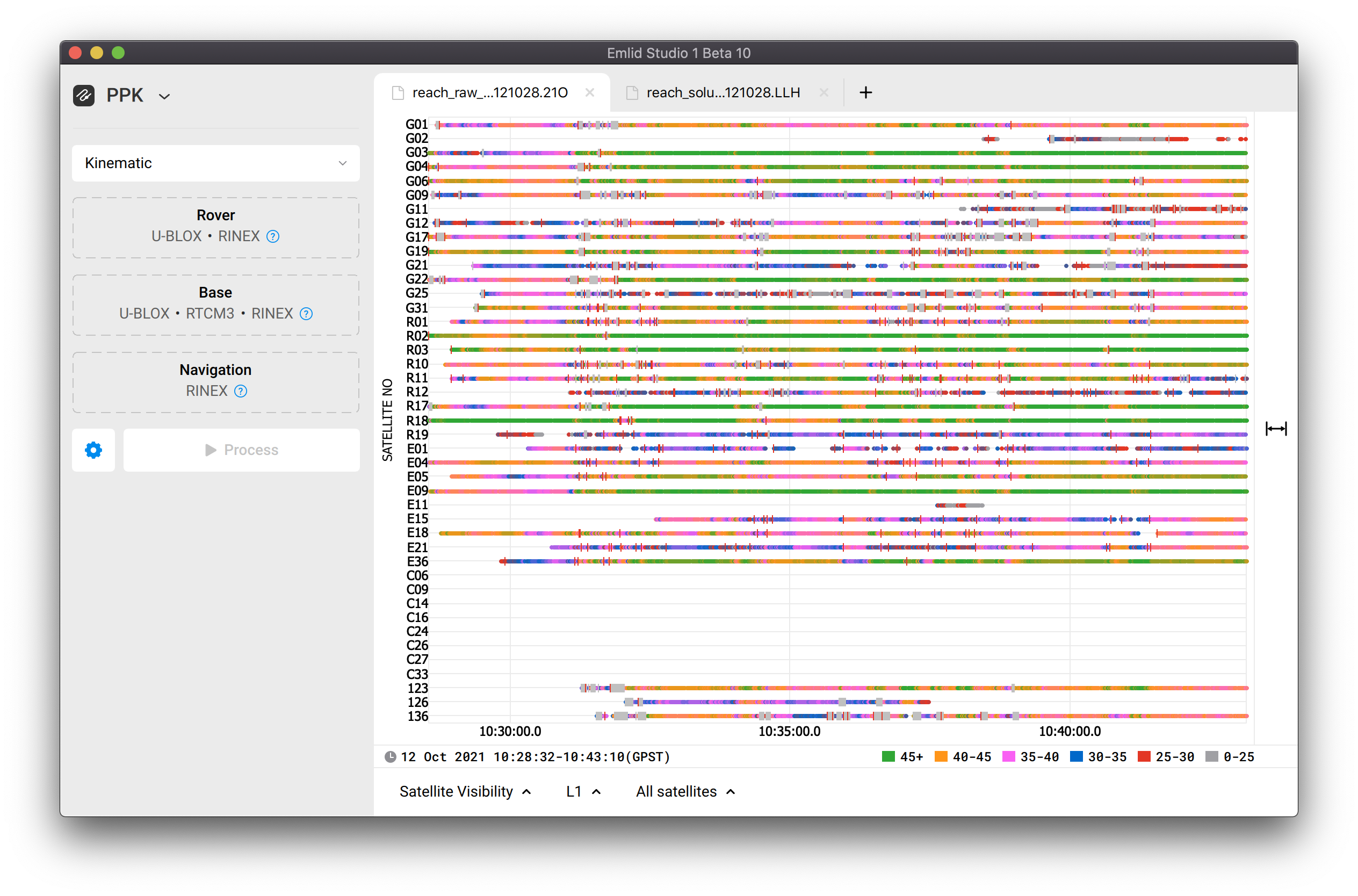
Even though the number of the visible satellites is important, their data quality is more of a thing to pay attention to. After all, that’s what affects the calculations the most.
If you share the raw log, the position log and the base correction log from your survey, I can take a closer look at how the quality is affected. For now, I can only guess that you’re getting low SNR and some amount of cycle slips. The coordinates of the points where you see the difference are also welcomed.
Depending on your workflow. Generally, the logs start once you start the device. You can either turn them off manually or they can be turned off automatically when you turn off the receiver. The latter method is more reckless, though, we don’t recommend going with it on the daily basis.
Either way, if you recorded logs, they should be visible in the Logging panel.
Sure, you can share them with me. If the data there is somewhat sensitive, please go with the support@emlid.com option.
Also, please, don’t forget to include the CSV file of the point you’ve surveyed and their known coordinates. That’ll help us see the difference, if there’s any.
I’ve got your files, thanks! One thing, though: I remember we’ve been talking about the point collection. Can you share the CSV and the base correction log as well? They all will help to see if there is any difference in measurements.
Hope you keep having nice weather It’s impossible here in November, though.
Well, the number of satellites is not the main thing that matters in terms of the solution calculation. It’s important that the base and the rover see the same satellites. But the signal quality is more crucial for the RTK mechanism.
That’s why I suggest that you don’t make assumptions about the solution only based on the sats number. Their SNR is the most prominent factor. You can check the DOP you’re getting, the RMS in the Status tab, see the age of differential. The easiest way to ensure the Fix is to survey in an appropriate environment, of course.
Sorry for the delay! Quite a lot of data to go through in your archive
I’ve looked through your logs. I can see that the overall observational quality is suffering: you have a lot of cycle slips and jumping SNR on all satellites. This is understandable as you mentioned that you’re working in somewhat complicated environments.
I can’t check all of the points you’ve shared as the raw log is not long enough. Still, from what I see, pretty much all of the points match each other when you recollect them several times. They also match the PPK results quite well.
There are two points (called pb12ortfix and vm12 in your sheet) that have the recollections quite separated from each other, the distance is within 30 cm. However, from what I see, you collected them in different time periods. For now, it looks like these measurements are accidentally taken of different points, actually.
It looks like all of this comes to the following conclusions:
It’s important to survey in an appropriate environment
If you sense that the environments are complicated, check:
DOP you’re getting
RMS in the Status tab
Age of Differential
It’s a good practice to work in PPK for the double-check of your results
Reach RS2 can provide you with a reliable solution. I know we’re all saying it all the time, but it’s true, we’ve thoroughly tested it multiple times. Complicated environments are tricky for all GNSS equipment, though, so there are certain check practices you need to add to your general workflow.