We just purchased two Reach RS2 and are operating them in Base and Rover configuration. The question is about collecting ground control points in the field and then post processing the base with PPS using OPUS and how to apply the corrections to the Survey CSV exported from the ReachView App. Our procedure is as follows:
- Setup Reach RS2 as Base over a “New” monument “We place a stake in the ground” that we do not know the accurate position.
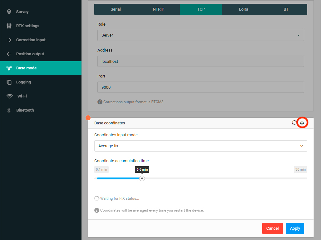
- Use Average Single for 10 minutes to compute the base location
- Have Rover and Base communicate over LORA and proceed to start a new Survey project in the ReachView app
- Collect pts using RTK FIX for 30 seconds
- complete Field work
- Use OPUS to calculate correct Base station location
… Now, we want to process the network shift to all RTK pts collected in the Survey app.
I dont know of an easy way to do this, and also, how do I figure out the Average Single position that was used by the Base during the acquisition. This way we can compute the constant offset from the OPUS and the Base and apply correction to all Rover pts collected in the Survey project from the ReachView app.