It is difficult to agree with you.
This is not a professional solution to the topic.
This is a mistaken approach to solving the task.
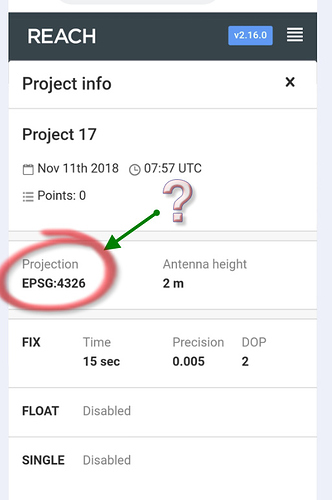
The error is here at the beginning. EPSG 4326 (European Petroleum Survey Group) is not a cartographic projection. It’s the WGS84. This method results in a square-shaped map (which computers really want) but there is no way to programmatically represent a coordinate system. Maybe it is enough for GIS, but it is not enough for surveyi with accuracy 2.5cm (staking out points, searching).
It must be resolved by conversion between Terrestrial Reference Frames as the first step. The next stage is a planar map projection (Coordinate Systems, eg UTM) and geoid modeling.
Revise it, please.
Regards
2 Likes


