I found the source of all my problems today… The elevation I was using as reference for the Base in field testing was over Mean Sea Level (MSL). However, the altitude that the REACH is measuring is ellipsoid height. Which at least in my area has a 50m difference.
I actually went to a geodesic point close to my office, for which I have the following coordinates and elevation (ellipsoid):
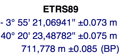
And the following elevation MSL:

If I use the MSL elevation, AR does not go above 1, and therefore only FLOAT is obtained.
I changed the reference elevation to 711.778m (ellipsoid) and FIX is easily achieved within 1 minute. I even took off with the drone and the AR was improved! no loss of FIX. I was still using the default configuration and saw no issues. I placed the RTK Rover antenna right next to the Base, and it measured 711.78m, I lowered exactly 1.2m and it measured 710.58 (amazing accuracy). I changed back to MSL elevation again and AR was at 1 and only FLOAT (and much lower accuracy measured, around 4 meters in altitude).
Maybe I am too inexperienced in this field (although I believe I am making progress), but I am sure that many people may face this issue, because MSL is the typical value I see reported for reference points. For example, the elevation of runways in airports is shown in MSL in the official AIP documents. If my findings are true, it would be great to have this indications in REACH documentation/wiki. Can anyone corroborate that this is true?
What I need to do now is find a way to convert the elevations MSL I have for my reference points in the different fields where I do tests to ellipsoid height. Does anyone have guidance on this?
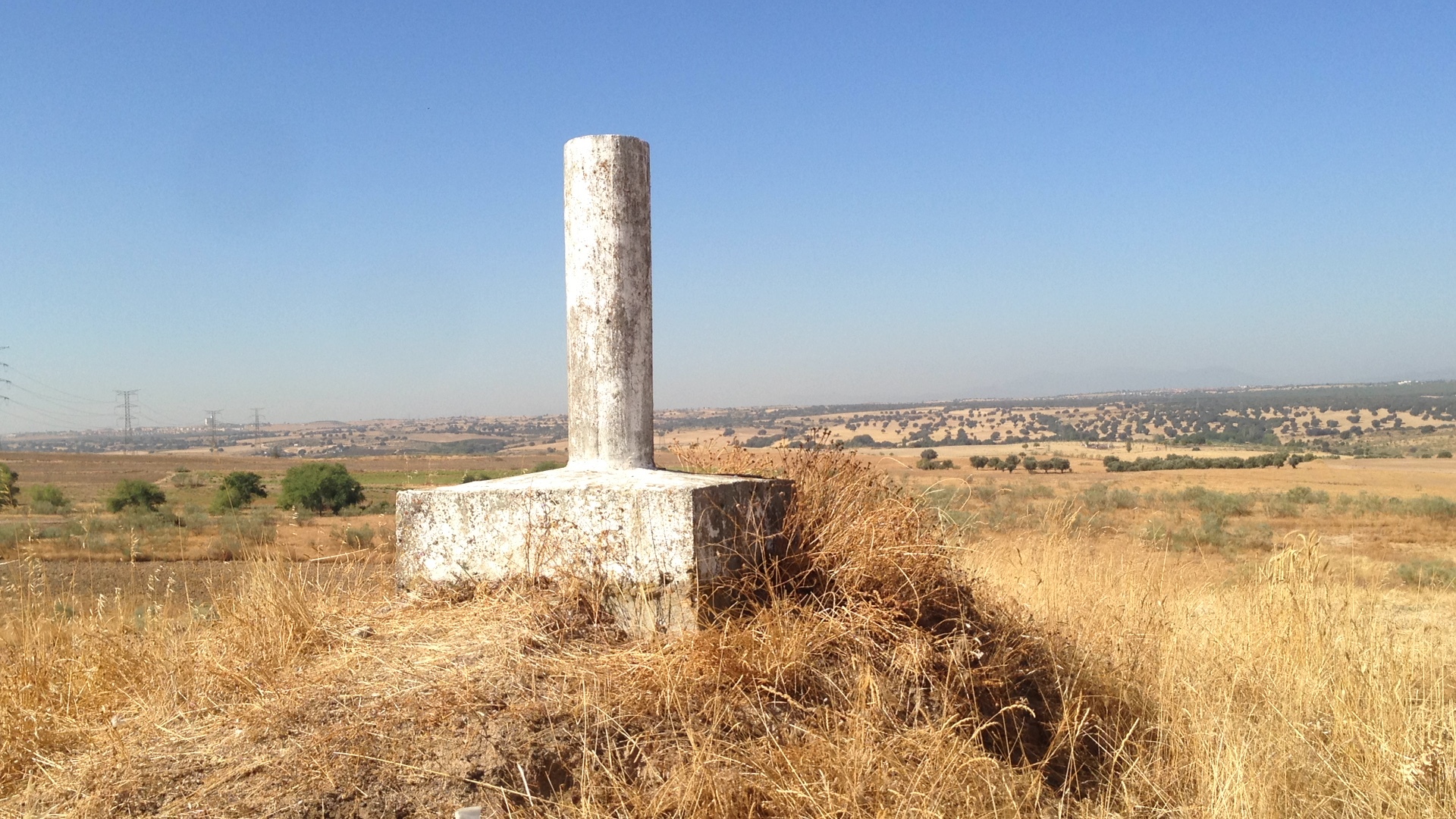
I’ll share a couple of images of how I placed the Base.