


Hi, we have recently purchased 2 RS2 units.
When we download and import the project into AutoCAD for editing etc, the descriptions of the points we have stored does not come through.
Is there a setting we need to change to get this information to come through on the download??
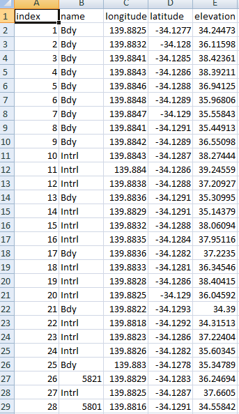
Are they present in the clear text .csv file?
What version of AutoCAD are you using? You might check the import format to make sure that the columns are mapped correctly. Although, normally when this happens it will not accept the import all.
1 Like
Hi, AutoCAD LT 2019, I’ll check the settings too, thanks
Hi, not yet, I check it out on Monday when I get back to the office.
Not sure, but maybe the “LT” version is “LimiTed”?
Are you importing AutoCAD native Points? LT is not like Civil 3D. There’s no survey point objects. You can create a custom block with attributes, instead.
1 Like
I’ve had a look to see if I can change the settings for any imports but unable to find these.
What programs are other using to import the dxf’s into to produce plans etc??
So what are AutoCAD native points??
The Emlid creates a dxf, but even when opening the points in another drawing program the points have no description although it is there in the csv file.
AutoCAD points are literally just 0-dimensional point locations.
The DXF file is going to be the same because AutoCAD doesn’t come with survey points unless you are using Civil 3D.
Your best bet is to create a custom block, and use a script to insert them. I’ve done something like this, but I wrote my own application for creating the script.
Another possible technique is using QGIS. There maybe some pathway importing into QGIS, and exporting to DXF with QGIS labels. I have not tried this, but it may work well.
Another technique you can do is to modify the csv file to generate AutoCAD commands, and just paste it into the command line. Save the formula once it works!
Sounds interesting, how is this done??
-Create the block you want to use as your point. Add an attribute for the description.
- type ATTDIA and set to 0.
- type ATTREQ and set to 1.
-Insert the new block using only command lines, and write down everything you type, starting with -INSERT - Every time you hit enter, write down “;” without quotes.
- In your spreadsheet, make a column that will generate that script, with the correct XYZ and description for each point.
-paste that column into autocad.
Hey there,
It’s figured out that Reach DXF files don’t contain point description as in CSV export.
2 Likes
Thanks Tatiana, so do others still record each point to know where it is and what they have recorded?? Or what program are you using to store the data in, so when you export the information this comes through??
I’m using Civil 3D and QGIS as a go-between to do the conversions into localized CRS. Civil 3D allows for points with descriptions and codes for linework.
1 Like
Same here, nice workflow. The only caveat is making sure that the data brought into CAD is at the correct scale factor and rotation. We get all sorts of configurations so we have gotten pretty good at it. 
Thanks Guys, so you may have gathered we are not trained surveyors and mainly use the data we collect to generate contours for designing hydraulic systems. Our old machine an ashtech unit used FAST Survey, which used to bring everything through to CAD and not need any rotating or adjusting if it was connected to a base station, but have been told that FAST Survey won’t work with the Emlid gear, which is a shame as it is a great program.
If you guys have to rotate your drawings are you having to pick up a couple of known survey markers to do this??
We are often/always in a paddock in the middle of nowhere gathering height data, but also water source points that our designers use in their designs. And it is not always practical to find known points.