Recién adquirí un par de equipos Reach RS. tengo dos preguntas:
1.- como instalar los mapas OpenStreet o cualquier otro para Mexico.? (mi equipo no los tiene pre-cargados).
2.- Cual seria la Mejor seleccion de constelacion de satelites GNSS para Mexico?
Thank God for frickin Google, or we’d all just be so dumb without them like in the movie Idiocracy.
TRANSLATION:
I just bought a pair of Reach RS equipment. I have two questions:
1.- How to install the OpenStreet maps or any other maps for Mexico? (My team does not have them pre-loaded).
2.- What would be the best selection of constellation of GNSS satellites for Mexico?
Hola los mapas se cargan solos ya que solo se pueden utilizar con conexión a internet.
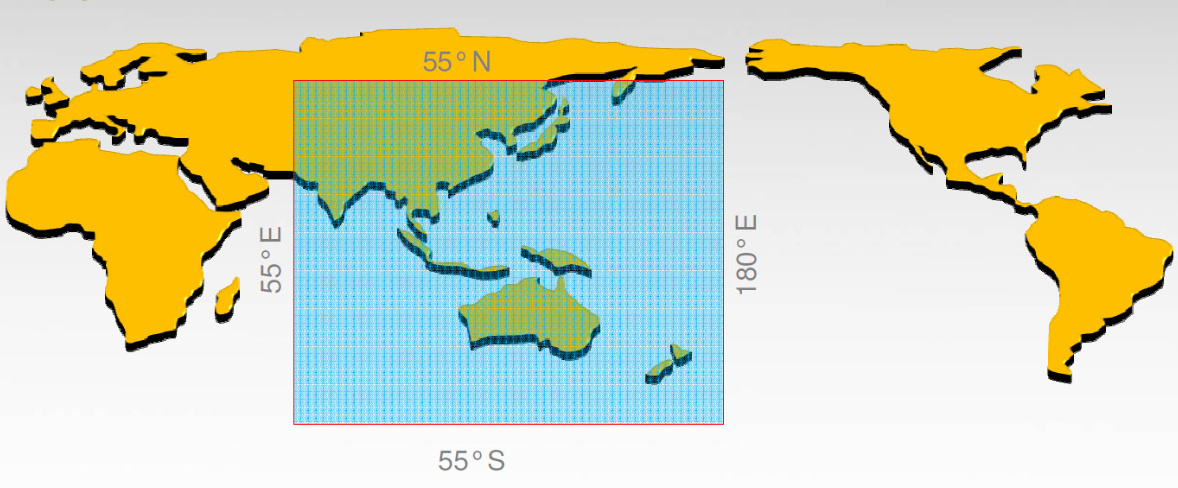
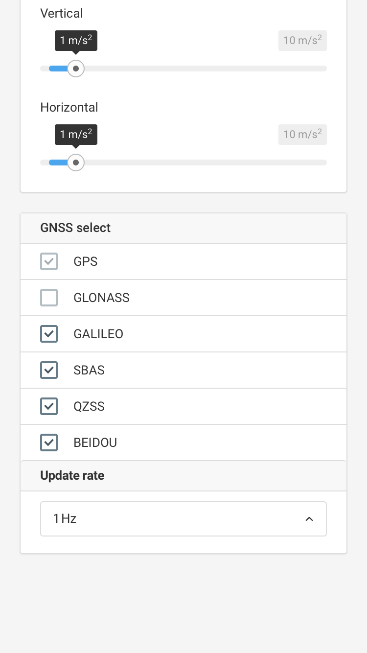
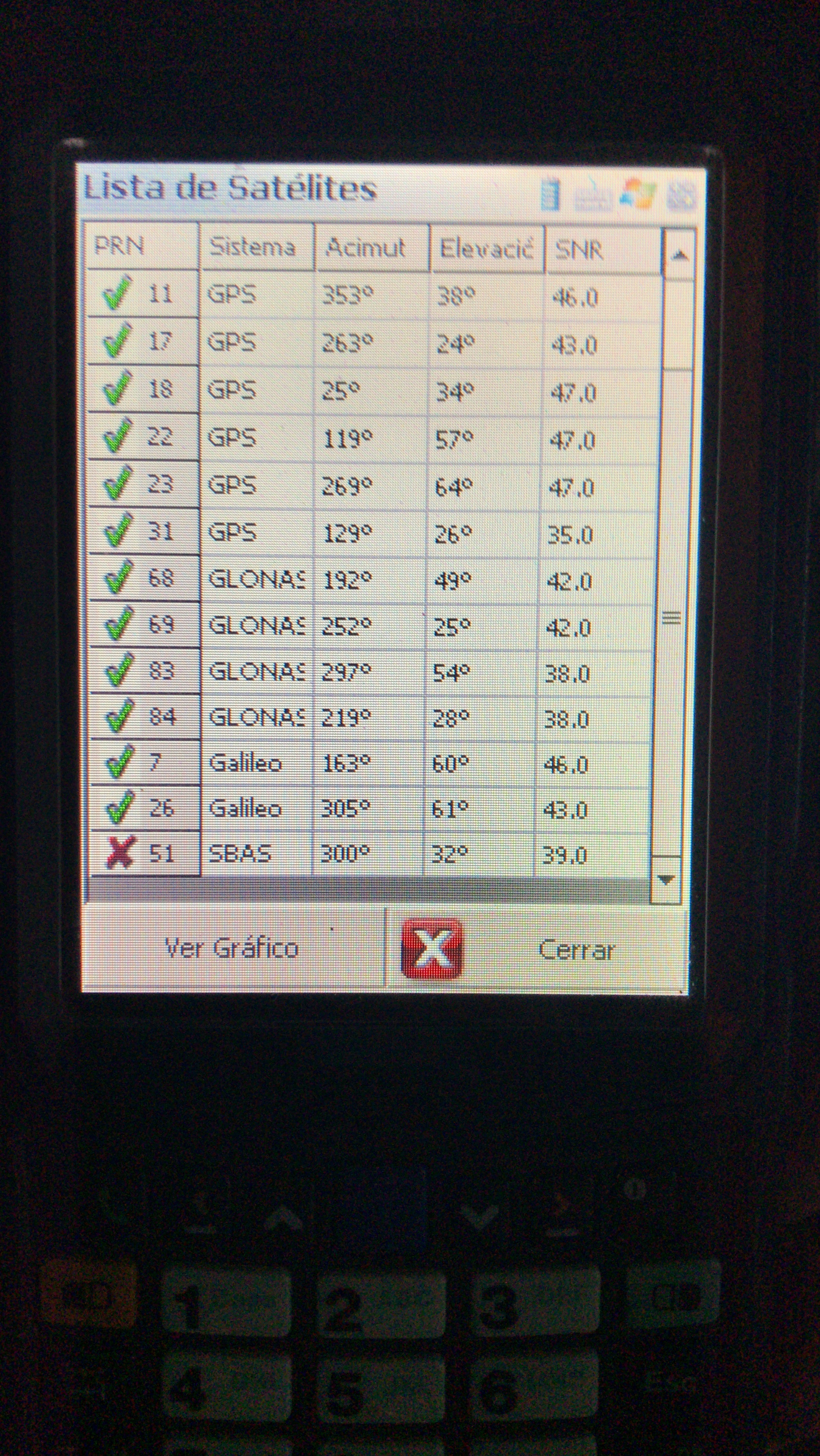
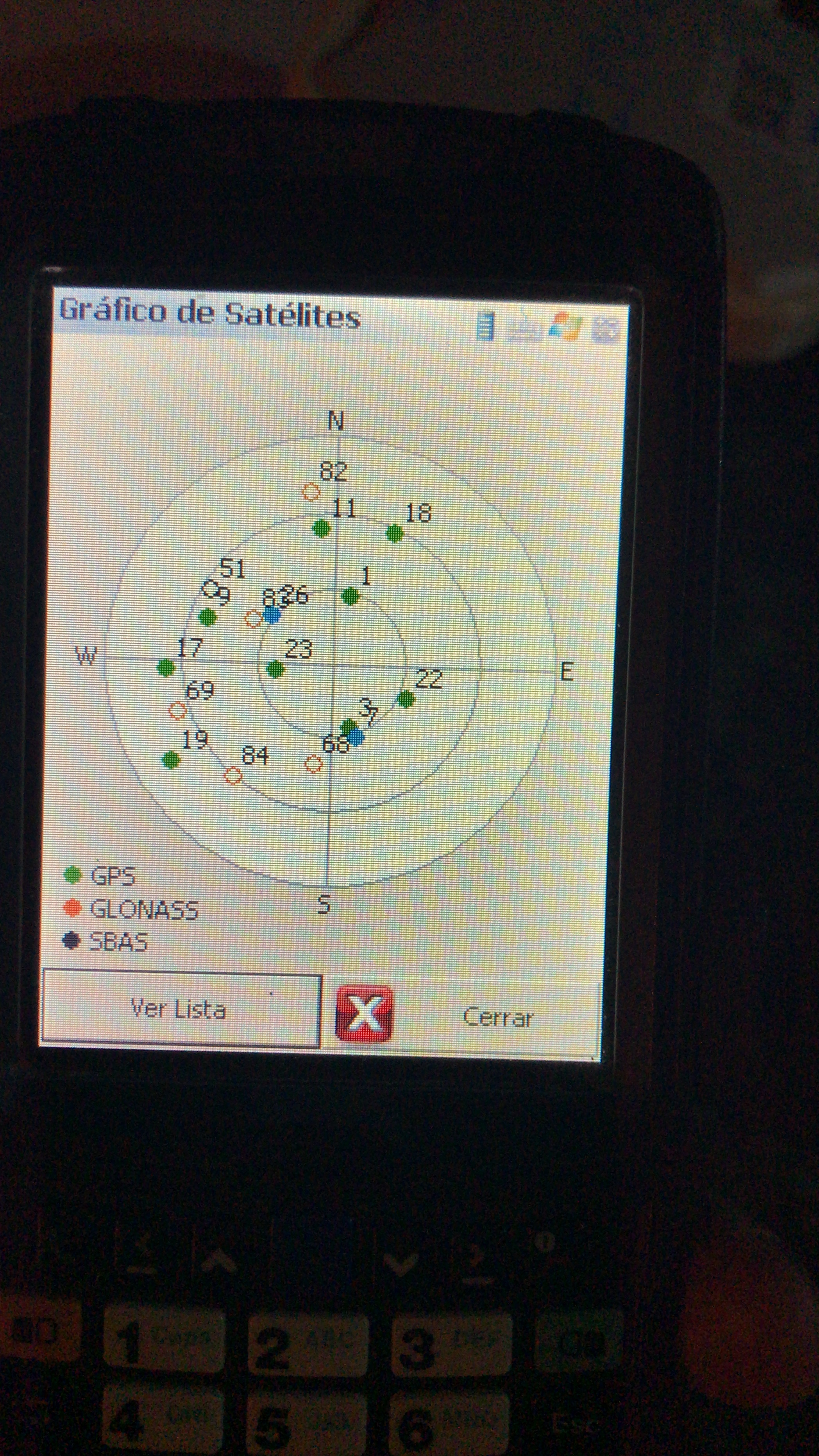
En tu región puedes usar gps (por defecto) y agregar glonass, galileo y sbas.
Saludos
Luis
Hello the maps are loaded alone since they can only be used with an internet connection.
In your region you can use gps (default) and add glonass, galileo and sbas.
regards
Luis
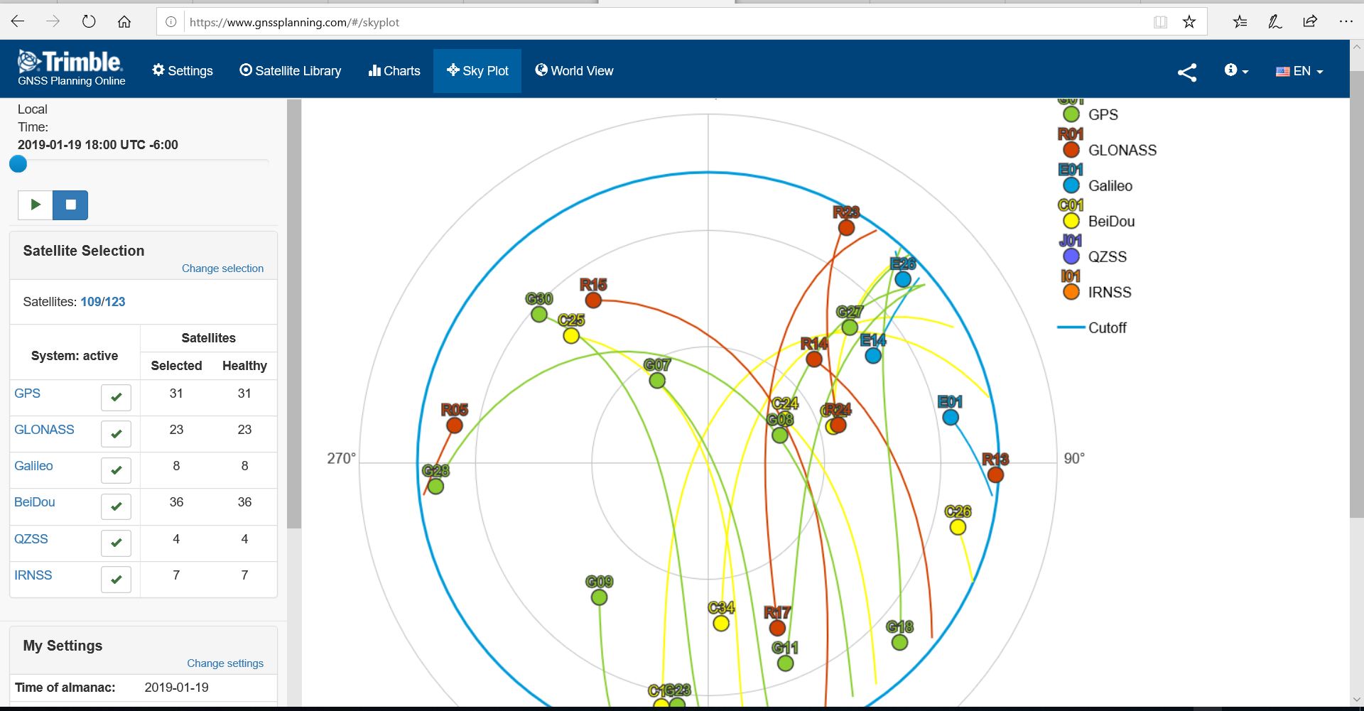
You are ABSOLUTELY CORRECT Luis! ; ) So yes, not ideal to select BeiDou (Chinese) if less sats than GLONASS. But China does have a lot of sats in progress…but still best to choose GLONASS on our side of the planet.
I see you’re sat list and sky plot now shows your Galileo sats. : )
not sure why the KEY only shows the 3 though… I just ignore it and concentrate of the sky plot and list anyways. I know Emlid ReachView shows it more importantly though.
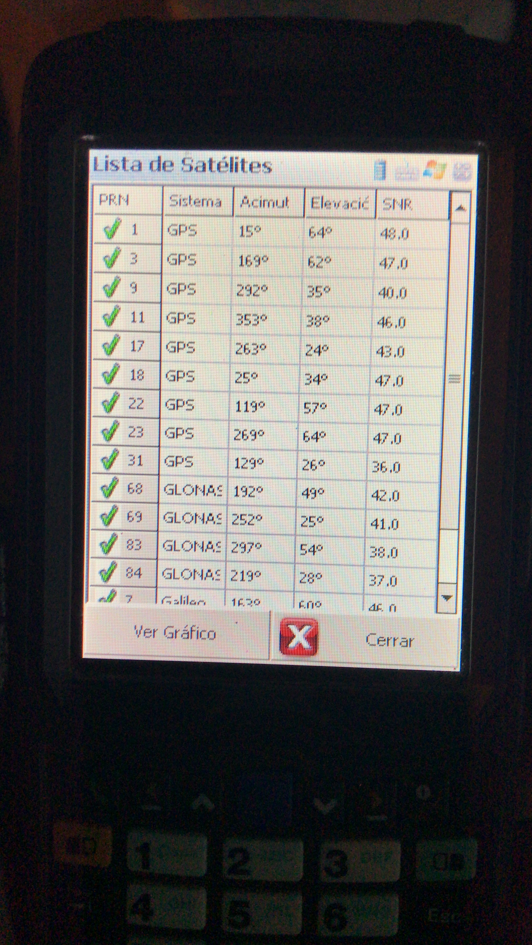
Tim only shows the list of those three satellites, but if you look at the two celestial points they are galileo !!! the best thing to use here is gps glonass and galileo, eventually sbas. thanks for your help
Victor ! Es bastante complicado el tema que yo todavía no lo pude resolver.
EMLID se conecta por la red wifi y en mi caso con el iPhone 7 me anula los datos del celular y no me he puesto a resolverlo porque no me interesa la base gráfica.
Mis trabajos son de Agrimensura y no lo necesito.
Es un tema que me lo han respondido pero no lo he podido hacer andar.
Si investigas un poco y me puedes dar una mano te agradeceré.
Antes veía el mapa pero ahora ya no.
Saludos
Luis


 los mapas se cargan solos ya que solo se pueden utilizar con conexión a internet.