


Hi Mehmet, could you reupload the photo? I can’t download this one.
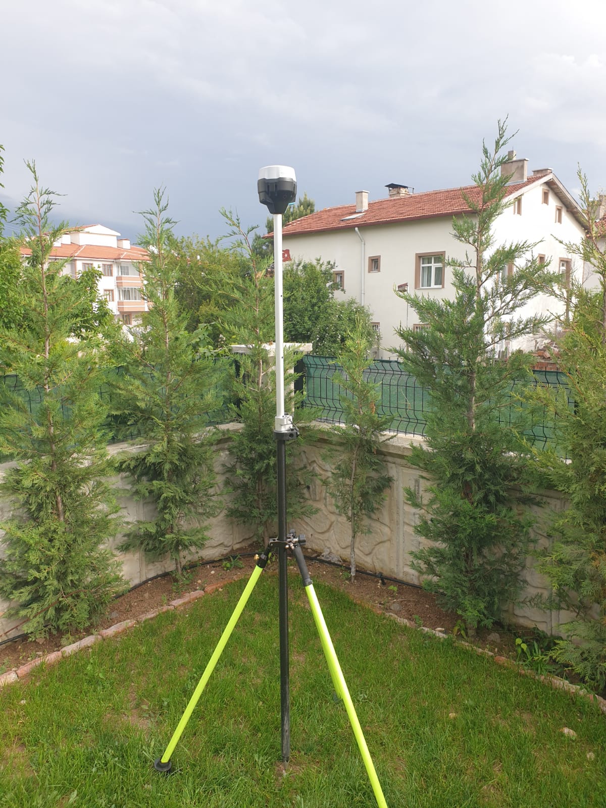
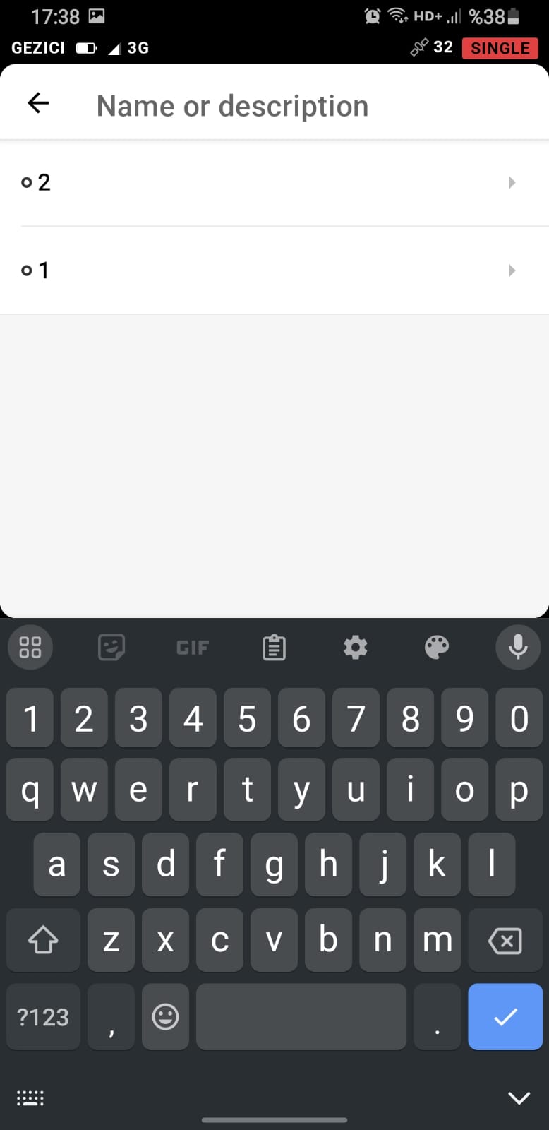
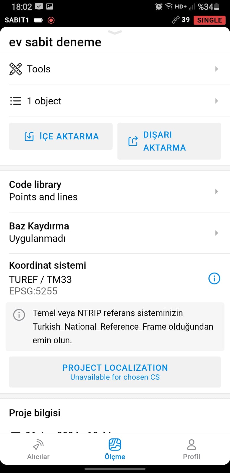
Today I permanently installed one of my rs2’s on the roof of my house. In this setup, I want to determine base point coordinates precisely, without depending on any source, and see whether these errors persist. How can I determine the coordinates of my base point through a static session without connecting to any source?
Today, I evaluated the approximately 11-hour static measurement I took last night with the 30-second Rinex data of 2 points of the Tusaga Ntrip broadcasting station, 49-50 km away from my location, with the emlid studio software and updated the base position. However, I encounter the same problem again. At 900 mt baseline, there is a difference of approximately 20 cm with the tusaga. Any comments are gratefully received.
Hi Mehmet,
How did you compare the two points?
Do you have any benchmark nearby to check with?
I agree with @merryna.anggriani on this.
You need to find some passive control marks to check this issue out. Also find out what datum/projection the passive marks are in. This is the only way you’ll find out what the issue is.
Contact your government Geodetic agency. I usually check our state’s RTN occasionally just to make sure I’m on the correct datum/projection and to verify the RTN status.
I usually have a maximum of 2-3 cm accuracy on passive marks established by the state and federal agencies.
2 Likes
I check it from the tusaga broadcast used in my country. I have been testing the accuracy of this broadcasting every 2-3 days for years at points whose coordinates are known, and there is usually a difference of 3-4 cm between points whose coordinates are known.However, I encounter this difference whether I get the base station coordinates from tusaga or specify them in static sessions. Emlid is not a widely used device in my country. I’m starting to be suspicious of coordinate systems. Despite my 2-3 weeks of effort, I still could not get a reliable result.
I compare it with the tusaga active ntrip broadcast used in my country. For years, we have been checking the accuracy of this publication every 2-3 days at points whose coordinates are known.
If things worked fine before for years… what changed?
Is the NTRIP RTN STATION you are having issues with, a new station you have never used or have been using for years?
Have you been using the same coordinate system for years?
I do not know much about “VRS” RTN, but others do here… wonder if your govt system uses this and may be part of the issue?
There was also a recent post about a user connecting to a TOPCON network which turned out to he the issue after switching to another network provider brand. So the issue in that case was the fault of the TOPCON network provider.
1 Like
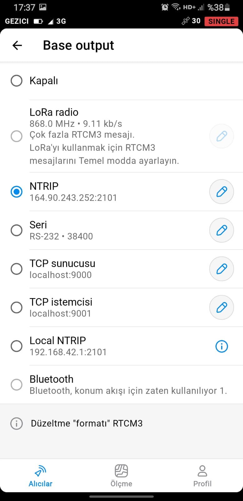
There is no problem with the current public broadcasting we use, but I bought 2 RS2s and installed one of them on the roof of my house and I want to be able to broadcast from emlid ntrip independently of the public broadcasting in my region. Naturally, when there is such a difference, I cannot trust emlid ntrip.
The update rate setting likely doesn’t affect horizontal mismatch. I initially thought the project’s coordinate system might not match, but since you achieved 2-3 cm accuracy with it, this cause can be ruled out.
Static processing might not be necessary. Instead, focus on ensuring the base uses the same datum as the source. Verifying with a benchmark will be helpful. Also, double-check with the NTRIP service about the datum they broadcast.
Additionally, Emlid NTRIP Caster just passes the message from the base to the rover. It doesn’t give any transformation, and the datum will depend on the base positioning.
2 Likes
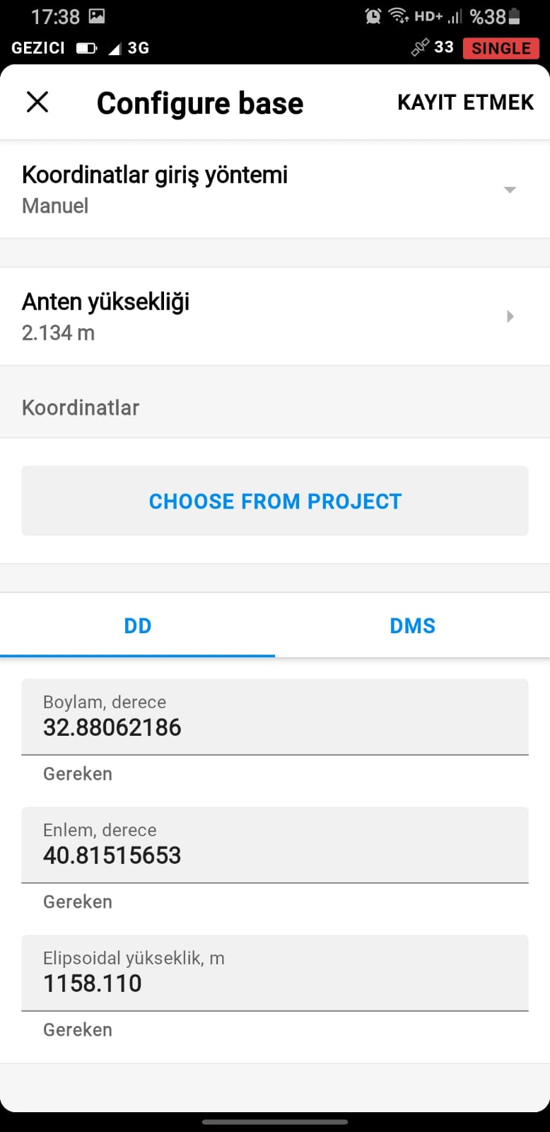
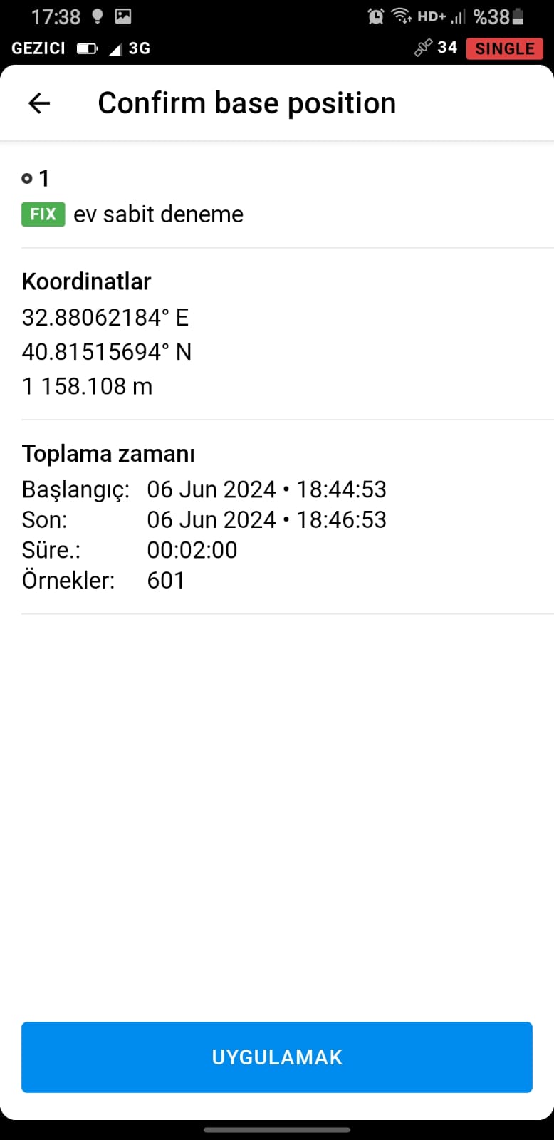
Hello again. As I mentioned before, I permanently installed an RS2 receiver as a base on the roof of my house. I determined the base coordinates in a 10-minute (in fix) job by using the local ntrip server, manually selected and saved the base coordinates from this job. However, as I mentioned before, there is no problem when the base line is 6 km long. However, when the base line exceeds 6 km, shifts of 34 cm begin to appear. I still haven’t found a reason for this. As far as I understand, you did not find any reason.
For an update, we are now in communication with the user to investigate the issue.
2 Likes
Dear Colleagues,
I would like to share how I resolved the coordinate discrepancy issue regarding my base station, which I previously discussed on the Emnüt Community Forum. By sharing the problem and the steps I followed to solve it, I aim to guide those who might encounter similar situations.
Problem Description: I observed a discrepancy of approximately 39 cm between my base station and known point coordinates. Initially, I suspected this difference might be caused by device or measurement errors. However, after a detailed investigation, I realized the issue stemmed from coordinate discrepancies in TUSAGA Active GNSS stations.
Resolution Process:
- Initial Solution and Data Collection:
- First, I adjusted my base station coordinates based on the Karabük Station and obtained a coordinate. Then, I adjusted the coordinates using the Kastamonu Station and obtained another coordinate. I used Emlid Studio software to perform these calculations. The difference between these two coordinates was approximately 2 cm, which I considered acceptable.
- Next, I adjusted my base station coordinates based on the Çankırı Station, located south of the North Anatolian Fault Line. Afterward, I did the same using the Çamlıdere Station. The difference between the coordinates based on Çankırı and Çamlıdere Stations was also about 2 cm, which was acceptable.
- However, I noticed a 39 cm difference between these two groups (Karabük-Kastamonu and Çankırı-Çamlıdere). To further analyze this issue, I collected all RINEX data and conducted a static session.
- Static Measurements and RINEX Data Processing:
- I conducted a 10-hour static session and collected RINEX data corresponding to the correction times of the TUSAGA Active stations for that day. I analyzed the collected data in detail using Emlid Studio software.
- During processing, I utilized single point positioning and double differencing methods to balance the coordinates.
- Coordinate Balancing and Problem Identification:
- Since my location is at the center of the triangle formed by the Karabük, Çankırı, and Çamlıdere stations, I realized that I was receiving corrections from the closest station. When I was near Karabük Station, I received corrections from Karabük, and the same applied for Çamlıdere and Çankırı Stations.
- Initially, I defined my base station coordinates based on the Karabük Station, which caused them to be heavily dependent on Karabük. However, when I conducted measurements in an area where corrections were taken from the Çankırı Station, the 39 cm difference appeared as an error. It took me some time to identify this issue.
- Outcome and Solution:
- By using my NTRIP broadcast, I defined balanced base station coordinates based on the closest TUSAGA Active station to the measurement point.
- Additionally, I used the Emlid ReachView app to manually input the coordinates for my base station. This approach successfully eliminated errors originating from the TUSAGA Active system.
This solution provides an effective method to address issues arising from coordinate discrepancies in TUSAGA Active stations. I hope it proves useful for colleagues facing similar challenges.
Best regards,
2 Likes
This topic was automatically closed 100 days after the last reply. New replies are no longer allowed.