


Now everything works fine with the new update. Thank you so much.
2 Likes
I’ll have to get back with you on the weird behavior the next time I work with it, but I think it was mostly that I couldn’t rename those fields and had a problem appending those to a feature layer. r something to that effect. Those issues were minor and didn’t prevent me from doing anything I needed to do.
Yes, I know I can add the APC to the antenna height and that’s what I’m doing. It was just that when it was said that the Reach app no longer required including the APC, it sounded like it was for the built in software as well as any other use for the software. I couldn’t find anywhere that said, “use the pole length only for the Reach Survey app but use the pole length plus 0.134m for 3rd party apps”, so I started setting our antenna heights in ESRI Field Maps to 2m instead of 2.134m. As long as it’s made clear, it isn’t a problem, but it isn’t clear at all anymore. The only way I could confirm was to take shots of the same point using the same antenna height value in both applications, then compare the results.
It’s definitely become somewhat common for software used to receive corrections and connect GPS units to 3rd party apps, which is what the Reach (Flow) app does, to account for the APC in their NMEA output. For whatever it’s worth, I know for a fact that Trimble does it with their Trimble Mobile Manager, which then streams the locations via Bluetooth to Field Maps exactly like Reach does, except that it knows the APC of any Trimble GPS unit that can connect with the app and will automatically factor that into the measurements.
1 Like
Hi Ryan,
Got it, thank you for the details! I’ve passed both requests to the team. If you have any updates about the work with Shapefiles after the next ESRI test, please let me know, and I’ll take note of it too.
1 Like
Hi @Sam_DeLong,
With the 8.5 Emlid Flow update, we started to show point names in the object list. Let me know how it works for you!
6 Likes
I’ll try it out. Thanks!
2 Likes
Hi everyone,
Now you can add the lines on the fly in Emlid Flow 360! Take a look at the screencast below:
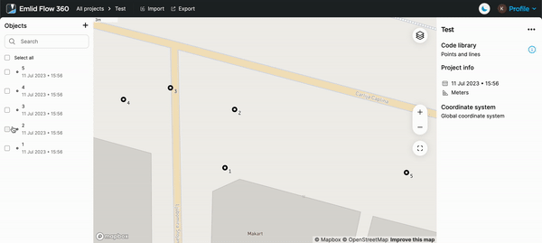
We’re going to add this feature on other platforms as well. Stay tuned!
6 Likes
Wow thanks
2 Likes
Some more feedback on the Emlid Flow mobile app. Btw, we are enjoying the latest updates, thanks!
We mostly use it to stake hundreds/thousands of points per day so, small changes will produce huge improvements:
- Add a high contrast option. Mobile screens are not great to be used under direct sunlight. Without being too specific, a high contrast option will make it easier to read (specially the bubble changing from light gray to light green). Even more, you can change the shape of the bubble so the color is not as fundamental.
- Better use the area in the screen, specially when doing the fine grained adjustments during the staking operation. Now, the circles in the bubble are huge, but the difference between them is just a few pixels on the screen.
- An on screen level indicator (like the physical bubble used to level the pole) close to the existing proximity bubble. I believe the RS (not sure the RX) has an IMU…
- Add an option to select the next point to the north-south-west-east, just one click somewhere in the screen, will help a lot when working with regular grids
- Configuration setting to apply a constant offset to all measurements of the GPS, that will be helpful when, for some reason corrections provide different coordinates at different days (this is frequent when for example we are forced to switch between different NTRIP servers when one of them is no longer available or malfunctioning).
Thanks! Great work with the app, most of what we need is already there!
3 Likes
Hi Fernando,
Thanks for your appreciative feedback and kind words about our software! Some comments on them:
The IMU sensor isn’t used in the calculations, so the possible implementation of this feature doesn’t depend on it. I think you mean an electronic bubble that is a matter of hardware rather than software.
Not sure I get you right, do you mean selecting the nearest point in stakeout?
You can already do this! Check out the base shift function in the app.
1 Like
Maybe already covered, but…
- ability to change colours of features
- ability to turn point/layer visibility on and off
- ability to link/take photos of points
3 Likes
Hi Kieran,
Thanks for the requests! All noted.
2 Likes
This topic was automatically closed 100 days after the last reply. New replies are no longer allowed.
I have an update! We’ve added an azimuth of the stakeout line:
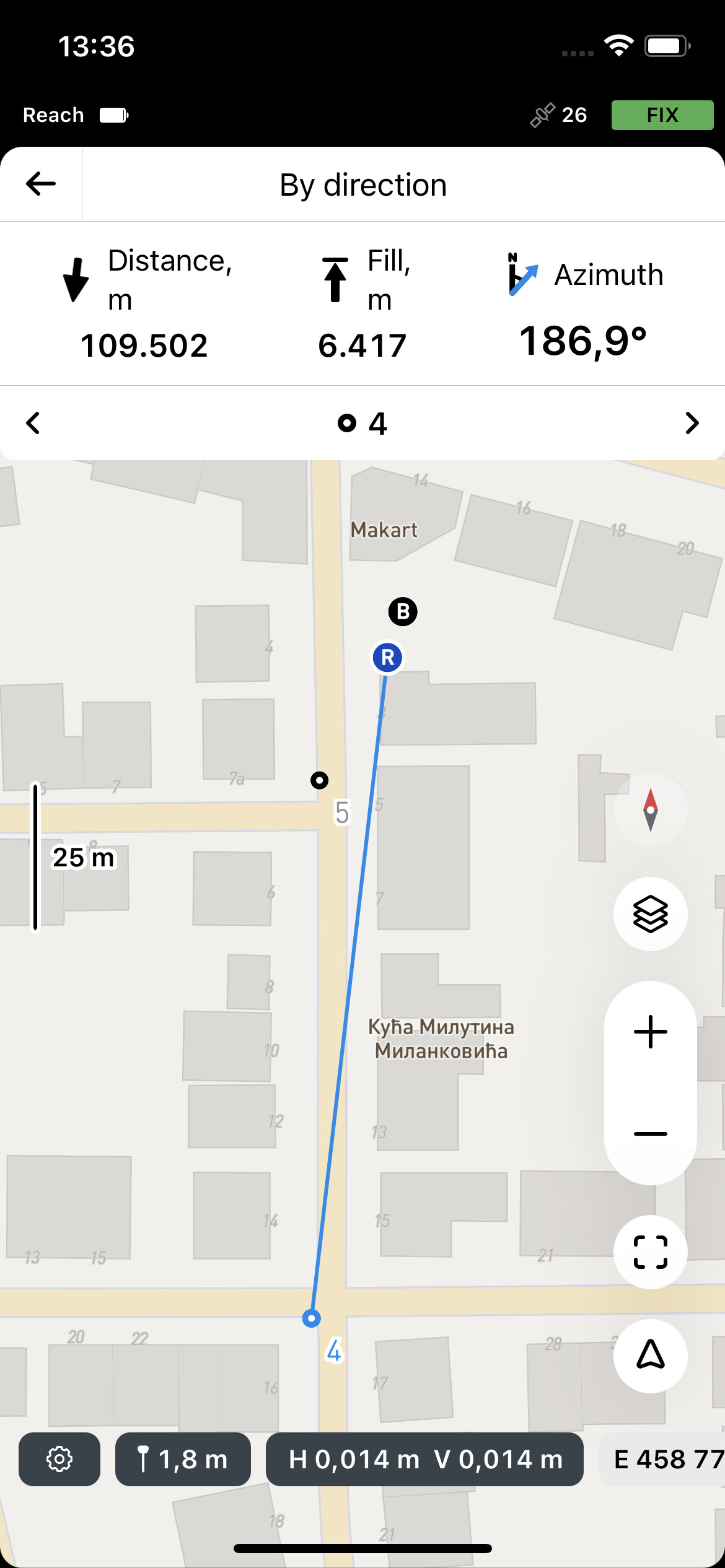
This feature is available in a free plan, but you would need a Survey plan to work with lines. You can get a 30-day free trial of it. We’d love to hear your feedback!
UPD. Changed the answer since this feature is available in a free plan.
5 Likes