


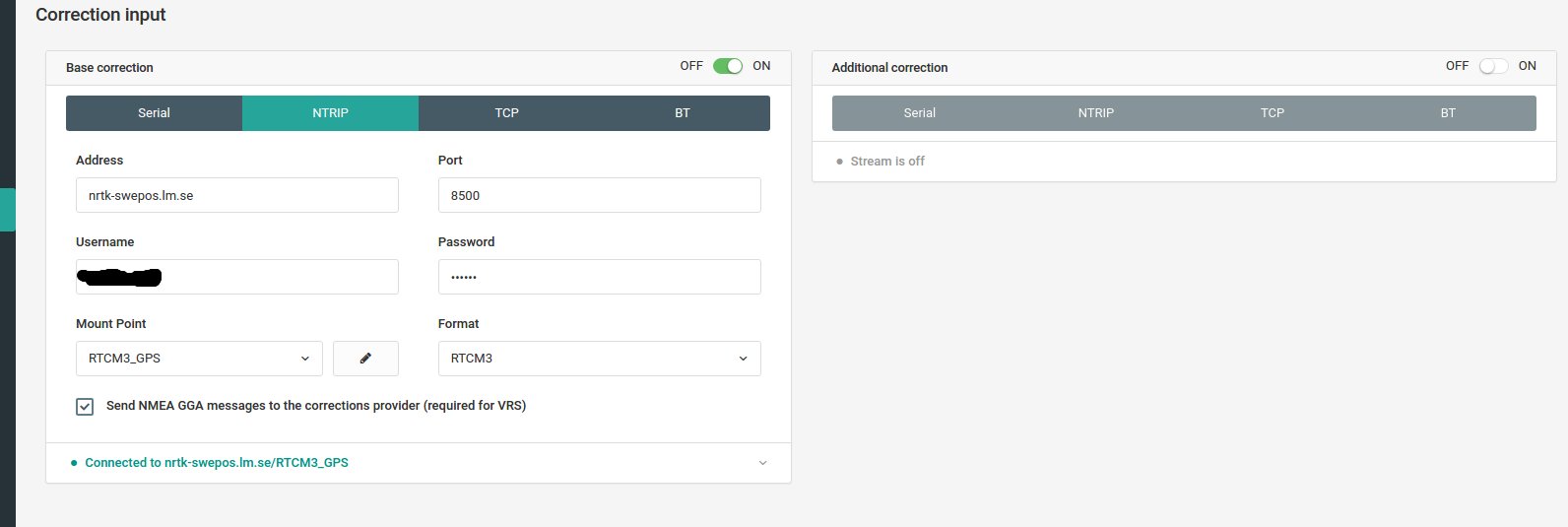
I’m using a single reach (rover) with correction input (NTRIP) from the national land surveying service in my country.
What confuses me is that the “base position” entry in the status tab of the ReachView seems to just show the location of my rover. I would expect it do display the location of the land surveying base that I am connecting to. Have I set something up, or am I misinterpreting anything?
Here are my correction input settings:
My position estimate also seems to drift a lot, although that might be because my test location is under some fairly dense trees. Here is my status screen, the reach was stationary during the entire session
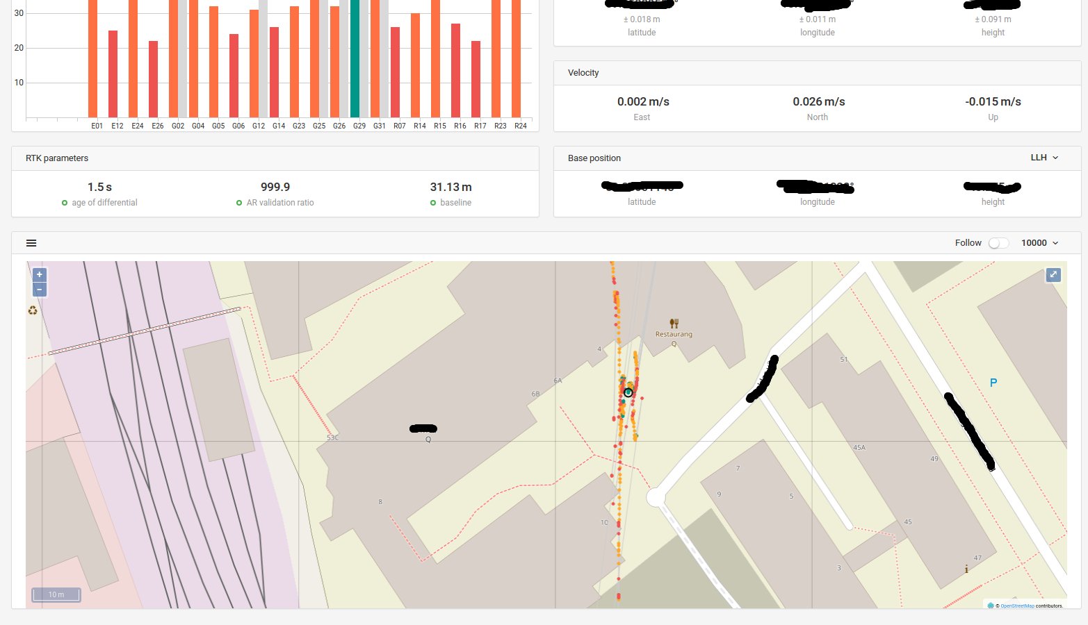
update: we tested it it in a location with less trees and got good localization results