Recently had issues getting a report and it turned out I was submitting the .zip instead of the .**O file. Rookie error!
So just reading over the report and it states that “All antenna heights refer to vertical distance from ground mark to antenna reference point (ARP) however the Emlid Docs state that when submitting data to AUSPOS to input pole height (which is what I have done).
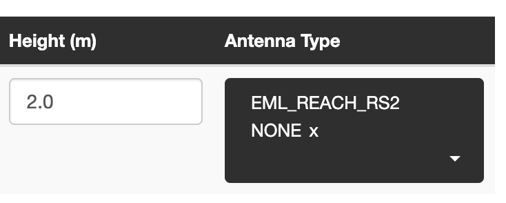
So my question is will the information provided by AUSPOS be accurate or will there be a difference of height of antenna above pole height .134m for RS2?
Pole height is for the Emlid and most other GNSS brands considered to be from the very pointy end of the pole to the bottom of the GNSS receiver (usually the bottom of the mounting thread).
The bottom of the RS2 is also considered its Antenna Reference Point (ARP).